White County is a county located in the northeastern part of the U.S. state of Georgia. As of the 2010 census, the population was 27,144. The county seat is Cleveland. The county was created on December 22, 1857 from part of Habersham County and most likely was named for Newton County Representative David T. White, who helped a Habersham representative successfully attain passage of an act creating the new county.

Webster County is a county located in the west central portion of the U.S. state of Georgia. As of the 2010 Census reflected a population of 2,799, making it the third-least populous county in Georgia. The county seat is Preston.

Telfair County is a county located in the central portion of the U.S. state of Georgia. As of the 2010 census, the population was 16,500. The largest city and county seat is McRae-Helena.
Randolph County is a county located in the southwestern portion of the US state of Georgia and is considered part of the Black Belt, historically an area of plantations. As of the 2010 census, the population was 7,719, less than half its peak population in 1910, when there were numerous agricultural workers. The county seat is Cuthbert.
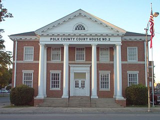
Polk County is a county located in the northwestern part of the U.S. state of Georgia. As of the 2010 census, the population was 41,475. The county seat is Cedartown. The county was created on December 20, 1851 by an act of the Georgia General Assembly and named after James K. Polk, the eleventh President of the United States.

Jefferson County is a county located in the U.S. state of Georgia. As of the 2010 census, the population was 16,930. The county seat is Louisville. The county was created on February 20, 1796 and named for Thomas Jefferson, the third president of the United States.

Houston County is a county located in the central portion of the U.S. state of Georgia. The estimated 2018 population is 155,469. Its county seat is Perry, although the city of Warner Robins is substantially larger in both area and population.

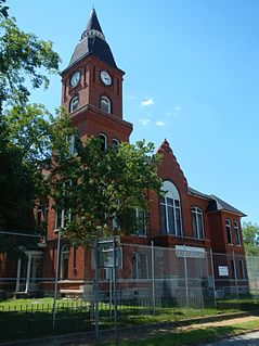
Gordon County is a county located in the northwestern part of the U.S. state of Georgia. As of the 2010 census, the population was 55,186. The county seat is Calhoun.

Glynn County is a county located in the southeastern part of the U.S. state of Georgia. As of the 2010 census, the population was 79,626. The county seat is Brunswick. Glynn County is part of the Brunswick, Georgia Metropolitan Statistical Area.
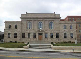
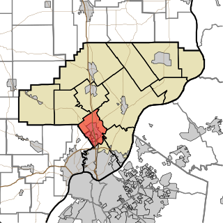
Floyd County is a county located in the northwestern part of the U.S. state of Georgia. As of the 2010 United States Census, the population was 96,317. The county seat is Rome.

Chattooga County is a county located in the northwestern part of the U.S. state of Georgia. As of the 2010 census, the population was 26,015. The county seat is Summerville. The county was created on December 28, 1838.
Carroll County is a county located in the northwestern part of the State of Georgia. As of the 2010 census, its population was approximately 110,527. Its county seat is the town of Carrollton.

Lindale is an unincorporated community and census-designated place (CDP) in Floyd County, Georgia, United States. It is part of the Rome, Georgia Metropolitan Statistical Area. The population was 4,191 at the 2010 census.

Ellijay is a city in Gilmer County, Georgia, United States. The population was 1,619 at the 2010 census. The city is the county seat of Gilmer County.

Gray is a city in Jones County, Georgia, United States. The population was 3,276 at the 2010 census, up from 1,811 at the 2000 census. The city is the county seat of Jones County.

Martin is a home rule-class city in Floyd County, Kentucky, in the United States. The population was 634 as of the 2010 census.

New Albany Township is one of five townships in Floyd County, Indiana. As of the 2010 census, its population was 49,252 and it contained 22,226 housing units.

Jeffersonville Township is one of twelve townships in Clark County, Indiana. As of the 2010 census, its population was 59,062 and it contained 27,023 housing units.
Silver Creek Township is one of twelve townships in Clark County, Indiana. As of the 2010 census, its population was 11,858 and it contained 4,858 housing units.

Union Township is one of twelve townships in Clark County, Indiana, United States. As of the 2010 census, its population was 3,507 and it contained 1,415 housing units.