Stade | |
|---|---|
 Flag  Coat of arms | |
 | |
| Country | Germany |
| State | Lower Saxony |
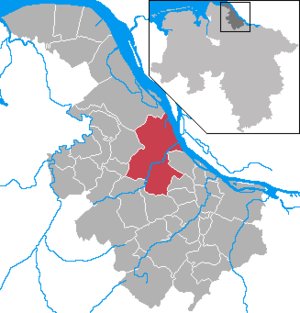
| Capital | Stade |
| Government | |
| • District admin. | Kai Seefried (CDU) |
| Area | |
• Total | 1,266 km2 (489 sq mi) |
| Population (31 December 2023) [1] | |
• Total | 207,659 |
| • Density | 164.0/km2 (424.8/sq mi) |
| Time zone | UTC+01:00 (CET) |
| • Summer (DST) | UTC+02:00 (CEST) |
| Vehicle registration | STD |
| Website | landkreis-stade.de |
Stade is a district (Landkreis) in Lower Saxony, Germany. It has its seat in Stade and is part of the Hamburg Metropolitan Region.