Coosa County is a county located in the east central portion of the U.S. state of Alabama. As of the 2020 census the population was 10,387. Its county seat is Rockford. Its name derives from a town of the Creek tribe and the Coosa River, which forms one of the county borders.

Shelby County is a county located in the central portion of the U.S. state of Alabama. As of the 2020 census the population was 223,024, making it the sixth-most populous county in Alabama. The county seat is Columbiana. Its largest city is Alabaster. The county is named in honor of Isaac Shelby, Governor of Kentucky from 1792 to 1796 and again from 1812 to 1816. Shelby County is included in the Birmingham–Hoover, AL Metropolitan Statistical Area.

Talladega County is one of the sixty-seven counties located in the east central portion of the U.S. state of Alabama. As of the 2020 census, the population was 82,149. Its county seat is Talladega.

Shelby County is a county located in the far eastern portion of the U.S. state of Texas. As of the 2020 census, its population was 24,022. Its county seat is Center. The county was established in 1835 as a municipality of Mexico and organized as a county in 1837. It is named for Isaac Shelby, a soldier in the American Revolution who became the first governor of Kentucky.

Panola County is a county located in the U.S. state of Texas. As of the 2020 census, its population was 22,491. The county seat is Carthage. Located in East Texas and originally developed for cotton plantations, the county's name is derived from a Choctaw word for cotton.
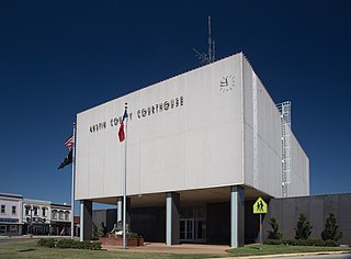
Austin County is a rural, agricultural dominated county in the U.S. state of Texas. As of the 2020 census, the population was 30,167. Its seat is Bellville. The county and region was settled primarily by German emigrants in the 1800s.

Pelham is a city in Shelby County, Alabama, United States. The population was 24,318 at the 2020 census, It incorporated on July 10, 1964 and is a suburb located in the Birmingham metropolitan area, Alabama which was home to nearly 1.2 million residents as of the 2020 census. It was named for Confederate Civil War officer John Pelham.

Morristown is a town in Hanover Township, Shelby County, in the U.S. state of Indiana. The population was 1,218 at the 2010 census.
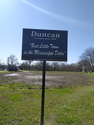
Duncan is a town in Bolivar County, Mississippi, United States. Per the 2020 census, the population was 276.

Shelby is a city in Bolivar County, Mississippi, United States. The population was 2,229 at the 2010 census, down from 2,926 in 2000. The town of Shelby was established in 1853 by Tom Shelby, who had purchased a block of land there from the federal government.
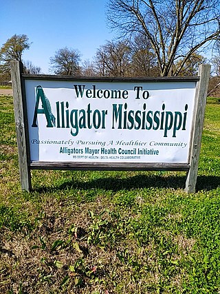
Alligator is a town in Bolivar County, Mississippi, United States. Per the 2020 Census, the population was 116.

Holland is a city in Bell County, Texas, United States. The population was 1,075 at the 2020 census. The center of population of Texas is located in Holland. It is part of the Killeen–Temple–Fort Hood metropolitan statistical area.
Bayview is a town in Cameron County, Texas, United States. The population was 475 at the 2020 census. It is part of the Brownsville–Harlingen–Raymondville and the Matamoros–Brownsville metropolitan areas.

Combes is a town in northern Cameron County, Texas, United States. Its population was 2,999 at the 2020 census. It is part of the Brownsville–Harlingen–Raymondville and the Matamoros–Brownsville metropolitan areas.

Indian Lake is a town in Cameron County, Texas, United States. The population was 839 at the 2020 census. It may be included as part of the Brownsville–Harlingen–Raymondville and the Matamoros–Brownsville metropolitan areas.

Coldspring is a city in San Jacinto County, Texas, United States. It is the county seat of San Jacinto County, which is named after the river that traverses it and shares its name with the battle that gave Texas its independence. The population was 819 at the 2020 census.

Timpson is a city in Shelby County, Texas, United States. The population was 989 at the 2020 census. The community is named after T.B Timpson, a railroad engineer.

Woodville is a town in and the county seat of Tyler County, Texas, United States. The town is intersected by three U.S. Numbered Highways: U.S. Route 69, U.S. Route 190, and U.S. Route 287. The population was 2,403 at the 2020 census. It is the county seat of Tyler County. The town was named after George Tyler Wood, governor of Texas from 1847 to 1849.

Shelby is a town in La Crosse County, Wisconsin, United States. It is part of the La Crosse, Wisconsin Metropolitan Statistical Area. The population was 4,715 at the 2010 census. The unincorporated community of Shelby is located in the town.
Between 2006 and 2008, in Tenaha, Texas, the Tenaha Marshal’s Office used state forfeiture regulations to seize property from nearly 200 motorists. In about 50 of the cases, suspects were charged with drug possession. But in 147 incidents, marshals seized cash, jewelry, cell phones, and automobiles even though no contraband was found, and the motorist was not charged with any crime. Many of these were African-American or Latino drivers. At least 150 motorists had property seized by the Tenaha marshal’s office, totaling more than US$3 million.