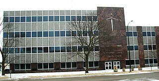
Black Hawk County is a county in the northeastern part of U.S. state of Iowa. As of the 2020 census, the population was 131,144, making it Iowa's fifth-most populous county. The county seat is Waterloo.

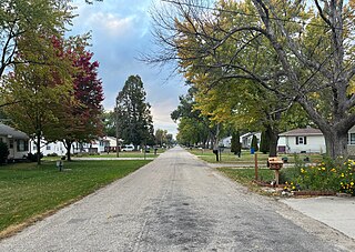
Washburn is an unincorporated town and census-designated place (CDP) in Black Hawk County, Iowa, United States. Washburn lies south of Waterloo on U.S. Route 218. Other towns near Washburn are Gilbertville and La Porte City. The community is part of the Waterloo–Cedar Falls Metropolitan Statistical Area.
Buckingham is an unincorporated community located near the intersections of Hwy D-65 and U.S. Highway 63 in Buckingham Township, Tama County, Iowa, United States. It lies 5.5 miles north of Traer and 11 miles south of Hudson. Buckingham is located at 42°15′45″N92°26′52″W.
Farrar is an unincorporated community in Polk County, Iowa, United States. An unused elementary school building and one church are located in Farrar and 13 houses. The mayor of Farrar is Zach Stiles.
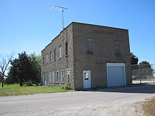
Dewar is an unincorporated town in eastern Black Hawk County, Iowa, United States. It lies northeast of the city of Waterloo, the county seat of Black Hawk County. Its elevation is 889 feet (271 m). Although Dewar is unincorporated, it has a post office with the ZIP code of 50623, which opened on 25 October 1887.

Cedar is an unincorporated community in southeastern Mahaska County, Iowa, United States. It lies along Iowa Highway 23 southeast of the city of Oskaloosa, the county seat of Mahaska County.
Teeds Grove is an unincorporated community in northeastern Clinton County, Iowa, United States. It lies at the intersection of Clinton County Routes E44 and Z50, north of the city of Clinton, the county seat of Clinton County. Its elevation is 692 feet (211 m).
Green Mountain is a rural unincorporated community and census-designated place (CDP) in Marshall County, Iowa, United States. It is located in Marion Township. As of the 2020 census the population of Green Mountain was 113.
Folletts is an unincorporated community in Clinton County, Iowa, United States. It is located at the intersections of 292nd Street and County Highway Z36 on the north bank of the Wapsipinicon River. It is one mile west of Shaffton and three miles east of McCausland, at 41.750099N, -90.354990W.
Alpha is an unincorporated community in Fayette County, Iowa, United States. It is located on Johnsons Mill Road near County Road V68, three miles south of Waucoma, at 42.995718N, -92.047995W, where Johnsons Mill Road crosses Crane Creek.
Zaneta is an unincorporated community in Grundy County, Iowa, United States.
Adaza is an unincorporated community in Greene County, Iowa, United States. It is located on County Road E13, three miles northwest of Churdan, at 42.194705N, -94.4969273W.
Dunbar is an unincorporated community and former railroad depot village in Green Castle Township, Marshall County, Iowa, United States.
Cleves, Iowa, is a small town in north central Iowa with a bank, a repair shop, and a grain elevator. Cleves is in Hardin County, Iowa.
Nashville is an unincorporated community in Jackson County, in the U.S. state of Iowa.
Carnes is an unincorporated rural small hamlet in Sioux County, in the U.S. state of Iowa. Presently, the hamlet consists of a grain elevator and a pizza restaurant.
James is an unincorporated community in Plymouth County, in the U.S. state of Iowa.
Thorpe is an unincorporated community in Honey Creek Township, Delaware County, Iowa, United States.
Astor was an unincorporated community in Crawford County, in the U.S. state of Iowa.
Benson was an unincorporated community in Black Hawk County, in the U.S. state of Iowa.


