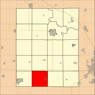
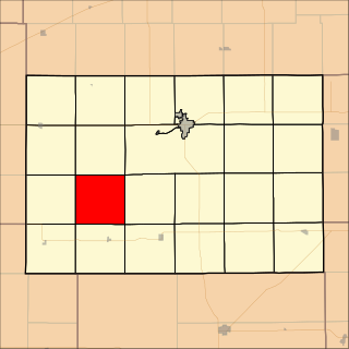
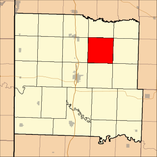
Washington Township, Jackson County, Kansas

Last updated
Washington Township
Township
Map highlighting Washington Township, Jackson County, Kansas.svg
Location in Jackson County
Coordinates: 39°13′45″N95°56′01″W / 39.22917°N 95.93361°W / 39.22917; -95.93361 Coordinates: 39°13′45″N95°56′01″W / 39.22917°N 95.93361°W / 39.22917; -95.93361
Country United States
State Kansas
County Jackson
Area
  Total 53.69 sq mi (139.06 km2)
  Land 53.62 sq mi (138.88 km2)
  Water 0.07 sq mi (0.19 km2)  0.14%
Elevation 1,017 ft (310 m)
Population (2000)
  Total 516
  Density 9.6/sq mi (3.7/km2)
GNIS feature ID 0476262

Washington Township is a township in Jackson County, Kansas, USA. As of the 2000 census, its population was 516.

A civil township is a widely used unit of local government in the United States that is subordinate to a county. The term town is used in New England, New York, and Wisconsin to refer to the equivalent of the civil township in these states. Specific responsibilities and the degree of autonomy vary based on each state. Civil townships are distinct from survey townships, but in states that have both, the boundaries often coincide and may completely geographically subdivide a county. The U.S. Census Bureau classifies civil townships as minor civil divisions. Currently, there are 20 states with civil townships.

Jackson County, Kansas County in the United States

Jackson County is a county located in the U.S. state of Kansas. As of the 2010 census, the county population was 13,462. Its county seat and most populous city is Holton. The county, first named Calhoun County for pro-slavery South Carolina Senator John C. Calhoun, was renamed in 1859 for President Andrew Jackson. The Prairie Band Potawatomi Indian Reservation, located near the center of the county, comprises about 18.5% of the county's area.

Kansas State of the United States of America

Kansas is a U.S. state in the Midwestern United States. Its capital is Topeka and its largest city is Wichita, with its most populated county being Johnson County. Kansas is bordered by Nebraska on the north; Missouri on the east; Oklahoma on the south; and Colorado on the west. Kansas is named after the Kansas River, which in turn was named after the Kansa Native Americans who lived along it banks. The tribe's name is often said to mean "people of the (south) wind" although this was probably not the term's original meaning. For thousands of years, what is now Kansas was home to numerous and diverse Native American tribes. Tribes in the eastern part of the state generally lived in villages along the river valleys. Tribes in the western part of the state were semi-nomadic and hunted large herds of bison.

Contents

Geography

Washington Township covers an area of 53.69 square miles (139.06 square kilometers); of this, 0.07 square miles (0.19 square kilometers) or 0.14 percent is water. The streams of Dutch Creek, Illinois Creek, James Creek, Salt Creek and Sullivan Creek run through this township.

Cities and towns

Adjacent townships

Adrian Township, Jackson County, Kansas Township in Kansas, United States

Adrian Township is a township in Jackson County, Kansas, USA. As of the 2000 census, its population was 150.

Lincoln Township, Jackson County, Kansas Township in Kansas, United States

Lincoln Township is a township in Jackson County, Kansas, USA. As of the 2000 census, its population was 1,046. The township is located entirely within the Prairie Band Potawatomi Indian Reservation.

Douglas Township, Jackson County, Kansas Township in Kansas, United States

Douglas Township is a township in Jackson County, Kansas, USA. As of the 2000 census, its population was 2,135.

Cemeteries

The township contains one cemetery, Delia.

Related Research Articles

Pottawatomie County, Oklahoma County in the United States

Pottawatomie County is a county located in the U.S. state of Oklahoma. As of the 2010 census, the population was 69,442. Its county seat is Shawnee.

Shawnee County, Kansas County in the United States

Shawnee County is a county located in northeast Kansas, in the central United States of America. As of the 2010 census, the population was 177,934 making it the third-most populous county in Kansas. Its most populous city, Topeka, is the state capital and county seat. The county was one of the original 33 counties created by the first territorial legislature in 1855, and it was named for the Shawnee tribe of Native Americans.

Pottawatomie County, Kansas County in the United States

Pottawatomie County is a county located in the U.S. state of Kansas. As of the 2010 census, the county population was 21,604. The county seat is Westmoreland. The county takes its name from the Potawatomi tribe of Native Americans.

Leroy Township, Benton County, Iowa Township in Iowa, United States

Leroy Township is one of twenty townships in Benton County, Iowa, USA. As of the 2000 census, its population was 1,099.

Grant Township, Jackson County, Kansas Township in Kansas, United States

Grant Township is a township in Jackson County, Kansas, USA. As of the 2000 census, its population was 212. The southeasternmost part of the township is located within the Prairie Band Potawatomi Indian Reservation.

Soldier Township, Jackson County, Kansas Township in Kansas, United States

Soldier Township is a township in Jackson County, Kansas, USA. As of the 2000 census, its population was 403.

Rock Creek Township, Jefferson County, Kansas Township in Kansas, United States

Rock Creek Township is a township in Jefferson County, Kansas, USA. As of the 2000 census, its population was 2,718.

Holmwood Township, Jewell County, Kansas Township in Kansas, United States

Holmwood Township is a township in Jewell County, Kansas, USA. As of the 2000 census, its population was 49.

Ionia Township, Jewell County, Kansas Township in Kansas, United States

Ionia Township is a township in Jewell County, Kansas, USA. As of the 2000 census, its population was 100.

Richland Township, Jewell County, Kansas Township in Kansas, United States

Richland Township is a township in Jewell County, Kansas, USA. As of the 2000 census, its population was 36.

White Mound Township, Jewell County, Kansas Township in Kansas, United States

White Mound Township is a township in Jewell County, Kansas, USA. As of the 2000 census, its population was 49.

Peters Township, Kingman County, Kansas Township in Kansas, United States

Peters Township is a township in Kingman County, Kansas, USA. As of the 2000 census, its population was 201.

Delhi Township, Delaware County, Iowa Township in Iowa, United States

Delhi Township is a township in Delaware County, Iowa, USA. As of the 2000 census, its population was 1,047.

Deepwater Township, Bates County, Missouri Township in Missouri, United States

Deepwater Township is one of twenty-four townships in Bates County, Missouri, USA. As of the 2000 census, its population was 247.

Deer Creek Township, Bates County, Missouri Township in Missouri, United States

Deer Creek Township is one of twenty-four townships in Bates County, Missouri, USA. As of the 2000 census, its population was 2,162.

Mound Township, Bates County, Missouri Township in Missouri, United States

Mound Township is one of twenty-four townships in Bates County, Missouri, USA. As of the 2000 census, its population was 819.

Shawnee Township, Bates County, Missouri Township in Missouri, United States

Shawnee Township is one of twenty-four townships in Bates County, Missouri, USA. As of the 2000 census, its population was 277.

References