St. Mary Parish is a parish located in the U.S. state of Louisiana. As of the 2020 census, the population was 49,406. The parish seat is Franklin. The parish was created in 1811.
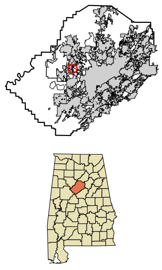
Mulga is a town in western Jefferson County, Alabama, United States. It is north from the Birmingham suburb of Pleasant Grove. It includes the community of Bayview. Mulga was a company town operated by Birmingham Coal and Iron Company around the Mulga Mine and Mulga was also the name of an independent community in the area. The company town was incorporated in 1947.

Caruthers is a census-designated place (CDP) in Fresno County, California, United States. The population was 2,497 at the 2010 census, up from 2,103 at the 2000 census. Caruthers is located 15 miles (24 km) south of downtown Fresno, at an elevation of 246 feet.

Hawaiian Acres is a census-designated place (CDP) in Hawaiʻi County, Hawaiʻi, United States located in the District of Puna. The population was 2,700 at the 2010 census, up from 1,776 at the 2000 census.

Vivian is a town in Caddo Parish, Louisiana, United States and is home to the Redbud Festival. The population was 3,671 at the 2010 census, down from 4,031 in 2000. According to 2020 census data, Vivian is now the fourth-largest municipality in Caddo Parish by population.

Clayton is a town in northern Concordia Parish, Louisiana, United States. The population was 711 at the 2010 census. Cotton is a principal commodity in the area. Clayton is located on the Tensas River, important for fishing and boating, promoted through a U.S. Army Corps of Engineers-maintained boat launch. The Tensas River merges with the Black River in Jonesville in Catahoula Parish.

Keachi is a town in DeSoto Parish, Louisiana, United States. The population was 295 at the 2010 census. It is part of the Shreveport–Bossier City Metropolitan Statistical Area.

Jackson is a town in East Feliciana Parish, Louisiana, United States. The population was 3,842 at the 2010 U.S. census, down from 4,130 in 2000; the 2020 population estimates program determined Jackson had a population of 3,707. It is part of the Baton Rouge metropolitan statistical area.

Maringouin is a town in Iberville Parish, Louisiana, United States. The population was 1,098 at the 2010 census, down from 1,262 at the 2000 census. At the 2020 population estimates program, its population was 966. It is part of the Baton Rouge metropolitan statistical area.

Melville is a town in St. Landry Parish, Louisiana, United States. The population was 1,041 at the 2010 census. It is part of the Opelousas−Eunice Micropolitan Statistical Area. It was founded in 1889 and is known as the Atchafalaya River Catfish Capital of Louisiana. It is directly across the river from the ghost town Red Cross, Louisiana.
Amelia is a census-designated place (CDP) in St. Mary Parish, Louisiana, United States. The population was 2,459 at the 2010 census. It is part of the Morgan City Micropolitan Statistical Area.
Bayou Vista is a census-designated place (CDP) in St. Mary Parish, Louisiana, United States. The population was 4,652 at the 2010 census. It is part of the Morgan City Micropolitan Statistical Area.

Berwick is a town in St. Mary Parish, Louisiana, United States. The population was 4,946 at the 2010 census. It is part of the Morgan City Micropolitan Statistical Area.
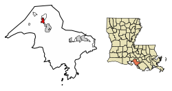
Franklin is a small city in and the parish seat of St. Mary Parish, Louisiana, United States. The population was 7,660 at the 2010 census. The city is located on Bayou Teche, southeast of the cities of Lafayette, 47 miles (76 km) and New Iberia, 28 miles (45 km), and 22 miles (35 km) northwest of Morgan City. It is part of the Morgan City Micropolitan Statistical Area and the larger Lafayette-Acadiana combined statistical area.

Baldwin is a town in Cumberland County, Maine, United States. The population was 1,520 at the 2020 census. It is part of the Portland–South Portland–Biddeford, Maine, metropolitan statistical area.

Elizabethville is a borough in Dauphin County, Pennsylvania, United States. As of the 2020 census, the borough's population was 1,352. It is part of the Harrisburg metropolitan area.

Brookdale is a census-designated place (CDP) in Orangeburg County, South Carolina, United States. The population was 4,724 at the 2000 census.
Fern is a town in Florence County, Wisconsin, United States. The population was 153 at the 2000 census.

Fennimore is a city in Grant County, Wisconsin, United States. The population was 2,497 at the 2010 census. The city's area was separated from the Town of Fennimore, which remains as an adjacent rural area.

Baldwin is a village in St. Croix County, Wisconsin, United States. The population was 3,957 at the 2010 census, a growth rate of 48% from 2000. The village is adjacent to the Town of Baldwin.