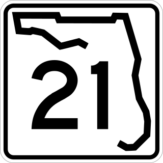
State Road 21 (SR 21) runs mostly in a southwest-to-northeast direction in the US state of Florida from McMeekin to Jacksonville. It is also known as Blanding Boulevard for much of its length.

State Road 16 (SR 16) runs from northwest to southeast between Raiford and St. Augustine. It passes through the towns of Starke and Green Cove Springs in addition to providing access to Camp Blanding. Major roads and/or highways that SR 16 crosses include: US 301, SR 21, US 17, SR 13, Interstate 95 and US 1.

State Road 100 is a 153-mile-long (246 km) east–west highway serving northeast Florida. Its western terminus is at the Georgia-Florida border four miles (6.4 km) north of Avoca, Florida ; its eastern terminus is an intersection with Shore Scenic Highway in Flagler Beach. The portion west of Lake City is only signed as portions of US 41 and US 129, both of which run north–south.

State Road 200 is a major diagonal road in central and northeast Florida. Its southern terminus is at US 41 in Hernando. Its eastern terminus is at SR A1A in Fernandina Beach, at the corner of Atlantic Avenue and Fletcher Avenue.
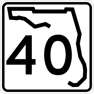
State Road 40 is a 91.8-mile-long (147.7 km) east–west highway across northern and east-central Florida, running from U.S. Highway 41 (US 41) in Rainbow Lakes Estates eastwards through Ocala over the Ocklawaha River and through the heart of the Ocala National Forest to SR A1A in Ormond Beach. Names of the road include Silver Springs Boulevard in Ocala, Fort Brooks Road from Silver Springs through Astor, Butler Road in Astor, and Granada Boulevard in Ormond Beach. Former sections in Ormond Beach are named "Old Tomoka Road" and "Old Tomoka Avenue."
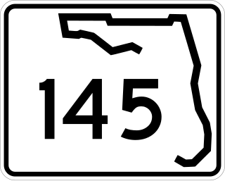
State Road 145 runs north from US 90 and State Road 53 in Madison to the Georgia border, where it becomes State Route 31. It is also a short route in Fort Walton Beach between US 98 and State Road 85.
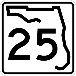
State Road 25 is a state highway in the U.S. state of Florida. It is mainly signed as U.S. Highways:

State Road 26 is a 62.172-mile-long (100.056 km) east–west route across North Central Florida.
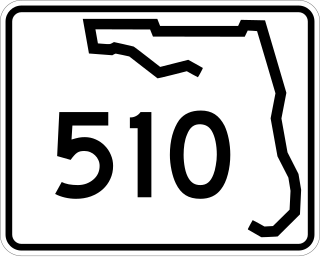
State Road 510 is a 2.606-mile-long (4.194 km) state highway in northern Indian River County, extending from U.S. Route 1 in Wabasso to SR A1A in Orchid. The route acts primarily as a bridge across the Indian River, known as the Wabasso Causeway, the northernmost crossing of the Intracoastal Waterway in Indian River County. The entire highway is on the Indian River Lagoon Scenic Highway.

State Road 238 is a state highway in Union and Columbia counties in Florida. It is 15 miles (24 km) long from U.S. Route 41-441 at Ellisville, Columbia County to State Road 100 in Lake Butler, carrying only 0.1 miles (0.2 km) of State Road 231. The entire route of SR 238 is only 2 lanes wide. Oddly, it slightly heads north–south on its way to Lake Butler.

U.S. Highway 19 (US 19) runs about 262 miles (422 km) along Florida's west coast from an interchange with US 41 in Memphis, south of Tampa, and continues to the Georgia border north of Monticello.

U.S. Route 441 (US 441) in Florida is a north–south United States Highway. It runs 433 miles (697 km) from Miami in South Florida northwest to the Georgia state line, with the overall route continuing to Tennessee in the Rocky Top area.

State Road 121 is a major state highway that runs north and south in northern Florida. The road is part of a long multi-state route that also goes through Georgia and South Carolina.

State Road 18 is a short state road in the U.S. state of Florida. It begins in Worthington Springs in southern Union County and travels eastward for 6.60 miles (10.62 km) into Bradford County until it becomes County Road 18 at Brooker. It also has county road extensions, one of which is between Fort White and Worthington Springs, and the other between Brooker and SR 100 north of Theressa.

State Road 540 (SR 540) is a west–east route in Central Florida, serving Polk County. It runs 19.2 miles (30.9 km) from the south side of the city of Lakeland to U.S. Route 27. SR 540 also runs along the entrance to Legoland Florida. It is a major route along the south side of Winter Haven, where it is known as Cypress Gardens Boulevard, and an important link between Winter Haven and Lakeland, the Polk Parkway, and subsequently Interstate 4 (I-4) and the Tampa Bay area.
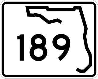
State Road 189 is a north–south highway in the panhandle of Florida. It leads from U.S. Route 98 in downtown Fort Walton Beach to just east of State Road 85 at the Eglin AFB West Gate where its southern section terminates. The northern section begins at an intersection with State Road 4 in Baker, Florida north to the Alabama / Florida state line where Alabama State Route 137 begins upon crossing the Alabama state line.
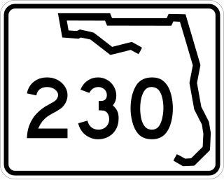
State Road 230 is a short state highway in northeastern Florida that runs between Starke, Florida and Camp Blanding. It runs east and west and is always no more than two lanes wide. Within the Starke city limits, and slightly beyond, the road is known as Call Street.
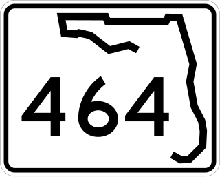
State Road 464 is a short state and county road in Marion County, Florida. The road is primarily in southern Ocala, but extends outside of the city limits.
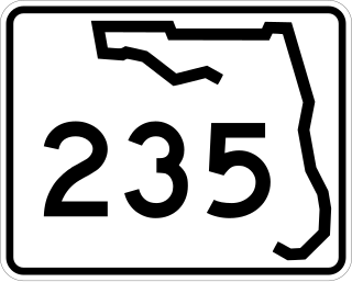
State Road 235 is a south–north state highway in Alachua County, Florida. It runs from U.S. Route 441 in Alachua to Brooker, and has county-maintained segments in Alachua and Bradford Counties, which were once part of SR 235.

