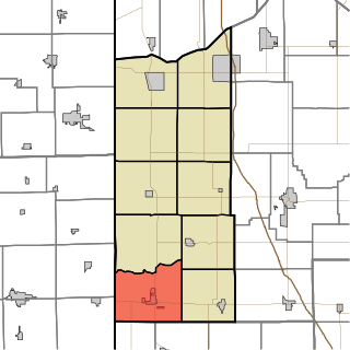
Jefferson Township is one of ten townships in Newton County, Indiana. As of the 2010 census, its population was 2,140 and it contained 964 housing units.
Lincoln Township is one of ten townships in Newton County, Indiana. As of the 2010 census, its population was 4,480 and it contained 1,734 housing units.

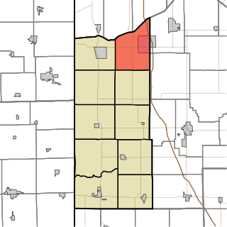
McClellan Township is one of ten townships in Newton County, Indiana. As of the 2010 census, its population was 217 and it contained 109 housing units.

Wheatfield Township is one of thirteen townships in Jasper County, Indiana, United States. As of the 2010 census, its population was 4,395 and it contained 1,658 housing units.
Fair Oaks is an unincorporated community in Union Township, Jasper County, Indiana.
Gifford is an unincorporated community in Barkley Township, Jasper County, Indiana, United States.
Parr is an unincorporated community in Union Township, Jasper County, Indiana, United States.
Stoutsburg used to be an unincorporated community in Wheatfield Township, Jasper County, Indiana, United States. It is now a woodland preserve.
Richland Center is an unincorporated community in Richland Township, Fulton County, Indiana, USA.
Aix was an unincorporated rural village in Union Township, Jasper County, Indiana.
Deer Park is an unincorporated community in Keener Township, Jasper County, Indiana.
Egypt is an unincorporated community in Jordan Township, Jasper County, Indiana.
Newland is an unincorporated community in Barkley Township, Jasper County, Indiana, United States.
Pleasant Ridge is an unincorporated community in Marion Township, Jasper County, Indiana.
Virgie is an unincorporated community in Union Township, Jasper County, Indiana.
Forest City is an unincorporated community in Keener Township, Jasper County, Indiana. It was named for the native forest at the town site.
Dickeyville is an unincorporated community in Owen Township, Warrick County, in the U.S. state of Indiana.
Kniman is an unincorporated community in Jasper County, Indiana, in the United States.
Laura is an unincorporated community in Jasper County, Indiana, in the United States.
Rosebud is an unincorporated community in Greer Township, Warrick County, in the U.S. state of Indiana.


