Canadian Forces Station Saglek is a Royal Canadian Air Force radar base in the former Pinetree Line and currently part of the North Warning System, located near Saglek Bay in Newfoundland and Labrador, 367.7 miles (591.8 km) north-northwest of CFB Goose Bay.
Dickinson Air Force Station is a closed United States Air Force General Surveillance Radar station. It is located 3.8 miles (6.1 km) northeast of Dickinson, North Dakota. It was closed in 1965.

Brunswick Air Force Station is a closed United States Air Force General Surveillance Radar station. It is located 2.5 miles (4.0 km) east-southeast of Brunswick, Maine. It was closed in 1965.
Killeen Air Force Station is a closed United States Air Force General Surveillance Radar station. It is located 9.2 miles (14.8 km) west-southwest of Killeen, Texas. It was closed in 1961.

Rockport Air Force Station is a closed United States Air Force General Surveillance Radar station. It is located 4.1 miles (6.6 km) southwest of Lamar, Texas. It was closed in 1963.
Two Creeks Air Force Station is a closed United States Air Force General Surveillance Radar station. It is located 0.7 miles (1.1 km) north-northwest of Two Creeks, Wisconsin. It was closed in 1957.
Zapata Air Force Station is a closed United States Air Force General Surveillance Radar station. It is located 3.2 miles (5.1 km) north of Zapata, Texas. It was closed in 1961.
Lake Charles Air Force Station is a closed United States Air Force General Surveillance Radar station. It is located 3.8 miles (6.1 km) southeast of Lake Charles, Louisiana. It was closed in 1995 by the Air Force, and turned over to the Federal Aviation Administration (FAA).

Cartwright Air Station is a closed General Surveillance Radar station. It is located 233.7 km (145.2 mi) east-northeast of CFB Goose Bay, Newfoundland and Labrador. It was closed in 1968.
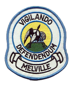
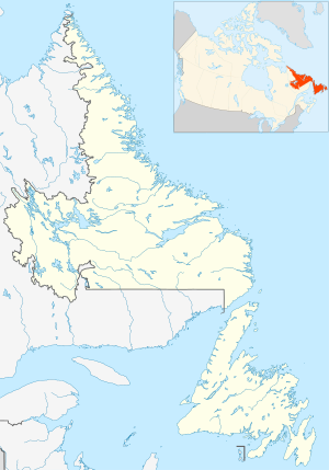
Melville Air Station was a General Surveillance Radar station. It was located on the summit of Dome Mountain, 5.4 miles (8.7 km) west of CFB Goose Bay, Newfoundland and Labrador. It was closed in 1988.

Hopedale Air Station is a General Surveillance Radar station that the USAF closed in 1968. It is located north of the community of Hopedale, Newfoundland and Labrador 147.8 miles (237.9 km) west-northwest of CFB Goose Bay, Newfoundland and Labrador, Canada.
Red Cliff Air Station was a General Surveillance Radar station. The remains of which are located 5.8 miles (9.3 km) north-northeast of St. John's, Newfoundland and Labrador, Canada. It was closed in 1961.

Saint Anthony Air Station is a closed General Surveillance Radar station. It is located 292.5 miles (470.7 km) north-northwest of St. John's, Newfoundland and Labrador, Canada. It was closed in 1968.

Canadian Forces Station Beaverlodge is a closed General Surveillance Radar station. It is located 4.9 miles (7.9 km) east-northeast of Beaverlodge, Alberta. It was closed in 1988.
Elliston Ridge Air Station was a General Surveillance Gap Filler Radar station in the Canadian province of Newfoundland and Labrador, It was located 74 miles (119 km) north-northwest of St. John's. It was closed in 1961.

Cape Makkovik Air Station was a General Surveillance Gap Filler Radar station in the Canadian province of Newfoundland and Labrador, It was located 140 miles (230 km) north-northeast of CFB Goose Bay. It was closed in 1961.
Cut Throat Island Air Station was a General Surveillance Gap Filler Radar station in the Canadian province of Newfoundland and Labrador, It was located 160 miles (260 km) east-northeast of CFB Goose Bay. It was closed in 1961.
Spotted Island Air Station was a General Surveillance Gap Filler Radar station in the Canadian province of Newfoundland and Labrador, It was located 195 miles (314 km) east of CFB Goose Bay. It was closed in 1961.
Fox Harbour Air Station was a General Surveillance Gap Filler Radar station in St. Lewis in the Canadian province of Newfoundland and Labrador, It was located 210 miles (340 km) southeast of CFB Goose Bay. It was closed in 1961.

Stephenville Air Station is a closed General Surveillance Radar station. It is located 9.5 kilometres (5.9 mi) north-northwest of Stephenville, Newfoundland and Labrador, Canada. It was closed in 1971.