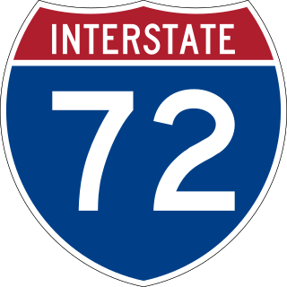
Interstate 72 (I-72) is an Interstate Highway in the midwestern United States. Its western terminus is in Hannibal, Missouri, at an intersection with U.S. Route 61 (US 61); its eastern terminus is at Country Fair Drive in Champaign, Illinois. The route runs through the major cities of Decatur, Illinois, and Springfield, Illinois. In 2006, the Illinois General Assembly dedicated all of I-72 as Purple Heart Memorial Highway. The stretch between Springfield and Decatur is also called Penny Severns Memorial Expressway, and the section between mile 35 and the Mississippi River is known as the Free Frank McWorter Historic Highway.

U.S. Route 59 is a north–south United States highway. A latecomer to the U.S. numbered route system, US 59 is now a border-to-border route, part of the NAFTA Corridor Highway System. It parallels U.S. Route 75 for nearly its entire route, never much more than 100 miles (160 km) away, until it veers southwest in Houston, Texas. Its number is out of place since US 59 is either concurrent with or entirely west of U.S. Route 71. The highway's northern terminus is 9 mi (14 km) north of Lancaster, Minnesota, at the Lancaster–Tolstoi Border Crossing on the Canada–US border, where it continues as Manitoba Highway 59. Its southern terminus is at the Mexico–US border in Laredo, Texas, where it continues as Mexican Federal Highway 85D.

U.S. Route 71 or U.S. Highway 71 is a major north–south United States highway that extends for over 1500 miles (2500 km) in the central United States. This original 1926 route has remained largely unchanged by encroaching Interstate highways. Currently, the highway's northern terminus is in International Falls, Minnesota at the Canada–US border, at the southern end of the Fort Frances-International Falls International Bridge to Fort Frances, Ontario. U.S. Route 53 also ends here. On the other side of the bridge, Trans-Canada Highway is an east–west route while Ontario Highway 71 is a north–south route. US 71's southern terminus is between Port Barre and Krotz Springs, Louisiana at an intersection with U.S. Route 190. For the entirety south of Kansas City, Missouri, US 71 runs parallel and concurrent with the existing and future Interstate 49. North of Kansas City, US 71 runs halfway between Interstate 29 and Interstate 35, which they split in the city at an interchange with Interstate 70.

U.S. Route 166 (US 166) is a 164-mile (264 km) east–west United States highway. This route and US 266 are the only two remaining spurs of historic U.S. Route 66, since US 666 was renumbered to US 491 in 2003.

U.S. Route 56 is an east–west United States highway that runs for approximately 640 miles (1,030 km) in the Midwestern United States. US 56's western terminus is at Interstate 25 Business, US 412 and New Mexico State Road 21 in Springer, New Mexico and the highway's eastern terminus is at US 71 in Kansas City, Missouri. Much of it follows the Santa Fe Trail.
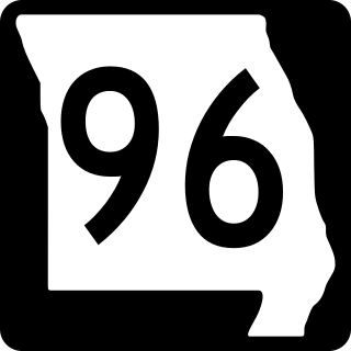
Route 96 is a state highway that travels from Route 171 near Carl Junction, in Jasper County, to Interstate 44 (I-44) in Halltown, in Lawrence County. A large section of the highway between Carthage and Halltown served as part of U.S. Route 66 (US 66) and is currently marked as Historic Route 66.

Route 43 is a highway in western Missouri. Its northern terminus is at U.S. Route 54 midway between Nevada and Deerfield. Its southern terminus is at the corner of Missouri, Arkansas, and Oklahoma where it continues down the Arkansas/Oklahoma state line as both Arkansas Highway 43 and Oklahoma State Highway 20.

Route 14 is a state highway traveling through the southern part of the U.S. state of Missouri. Its western terminus is at U.S. Route 60 (US 60) in Marionville, and its eastern terminus is at US 63 on the northern edge of West Plains. Route 14 is a two-lane highway for its entire length, however, there are plans to widen Route 14 in some spots.

Route 13 is a highway in Missouri which runs almost the entire north–south length of the state. Its northern terminus is at U.S. Route 69/136 in Bethany. Its southern terminus is at the Arkansas state line in downtown Blue Eye, Missouri–Arkansas where it continues as Highway 21. It is one of the original state highways of Missouri.

Route 59 is a highway in southwest Missouri running from Interstate 44/Interstate 49/U.S. Route 71 at Fidelity to the Arkansas state line where it continues as Highway 59. It replaced a large section of U.S. Route 71 and Alternate US 71 in sections. The first section was designated in 1960 between Lanagan and the Arkansas state line when US 71 was moved down the former Route 88. In the 1990s, US 71 was moved and upgraded to interstate standards from Neosho to Lanagan and Route 59 was extended north to Neosho. When US 71 was moved east of Joplin in the late 1990s, Alternate US 71 was deleted, and Route 59 was extended north to replace that highway. The highway was numbered after Arkansas Highway 59.
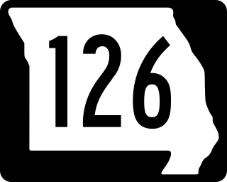
Route 126 is a highway located entirely within Barton County in the U.S. state of Missouri. Its western terminus is at the Kansas state line, where K-126 ends. The route goes in a straight line for most of its length, and intersects Interstate 49 (I-49) and U.S. Route 71. Its eastern terminus is at US 160 and Route 37 in Golden City. The route was designated in 1942, and formerly consisted of two supplemental routes.

Route 37 is a highway in southwest Missouri. Its northern terminus is at U.S. Route 160 in Golden City ; its southern terminus is at the Arkansas state line where it continues as Highway 37, though it only runs very briefly before ending at U.S. Route 62 in Gateway, Arkansas.

Route 2 is a highway in western Missouri. Its western terminus is at the Kansas state line about three miles (4.8 km) southwest of West Line; it continues into Kansas as K-68. Its eastern terminus is at Route 52 in Windsor.

Route 58 is a highway in western Missouri. Its eastern terminus is at U.S. Route 50 west of Warrensburg; its western terminus is at Route D west of Belton, Missouri. It is one of only a very few highways to end at a state supplemental route.

Route 48 is a state highway in northwestern Missouri. Its western terminus is located at U.S. Route 71 north of Savannah. The route travels eastward across the communities of Rosendale, Rea, and Whitesville. The road ends at US 169 in King City, about 20 miles (32 km) from its western terminus. The road was designated around 1926, and was completely laid down with gravel by 1936 and paved in asphalt by 1942.
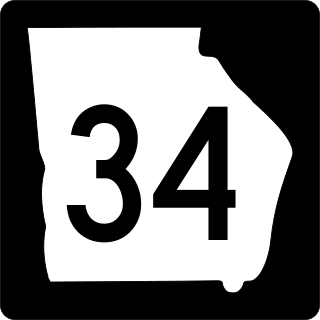
State Route 34 (SR 34) is a 43.6-mile-long (70.2 km) state highway that travels west-to-east through portions of Heard and Coweta counties in the west-central part of the U.S. state of Georgia. The highway connects the Alabama state line southwest of Franklin with the Peachtree City area, via Franklin and Newnan.

State Route 435 is a 4.084-mile (6.573 km) long east–west state highway in the southwestern portion of the U.S. state of Ohio. The western terminus of SR 435 is at a partial interchange with U.S. Route 35 (US 35) approximately 5.50 miles (8.85 km) southwest of Jeffersonville, and its eastern terminus is a T-intersection with SR 729 nearly 2 miles (3.2 km) northeast of Milledgeville.

U.S. Highway 87 is a north-south United States Numbered Highway in the state of Montana. It extends approximately 444.4 miles (715.2 km) from the Wyoming state line north to its terminus at US 2 near Havre.

K-39 is a 65.03-mile-long (104.66 km) east–west state highway in the U.S. state of Kansas. The highway runs from U.S. Route 400 (US-400) to K-7 southwest of Fort Scott.

