
Bidwell is a small unincorporated community in northwestern Springfield Township, Gallia County, Ohio, United States, and is often associated with the nearby community of Porter. Although unincorporated, it has its own ZIP Code of 45614. Bidwell is located eleven miles from the county seat, Gallipolis, at an elevation of 682 feet (208 m).

Patriot is an unincorporated community in southern Perry Township, Gallia County, Ohio, United States. Although it is unincorporated, it has a post office, with the ZIP code of 45658.
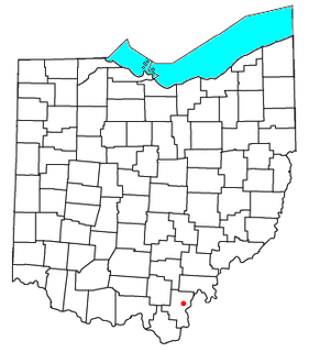
Kerr is an unincorporated community in southeastern Springfield Township, Gallia County, Ohio, United States. Although it is unincorporated, it has a post office, with the ZIP code of 45643.
Raccoon Creek is a 114-mile-long (183 km) stream that drains parts of five Ohio counties. It originates in Hocking County, Ohio. It flows through Vinton County and Gallia County and a corner of Meigs County. Its largest tributary, Little Raccoon Creek, arises in Jackson County. The watershed also includes part of Athens County, drained by another tributary, Hewett Fork. The other major tributaries are Elk Fork, located entirely in Vinton County, and Brushy Fork, which is mostly in Vinton County with a small area in Hocking County.

The Lawrence County Courthouse is a historic governmental building in Ironton, Ohio, United States. It was designed by Richards, McCarty & Bulford and built in 1907 after the previous courthouse burned. Built in the Neoclassical style with a domed roof, it was expanded in 1978 by the addition of a rear annex.
Mercerville is an unincorporated community in Gallia County in southern Ohio, approximately seven miles (11 km) north of Crown City and 25 miles (40 km) northeast of Huntington, West Virginia, near the easternmost corner of Wayne National Forest and roughly five miles (8.0 km) west of the Ohio River, where Ohio borders West Virginia. Mercerville sits along State Route 218 (SR 218) near its intersection with SR 790. It is home to South Gallia High School, one of only three high schools in the entire county, and nearby Hannan Trace Elementary School.
Crystal Springs is an unincorporated community in Stark County, in the U.S. state of Ohio.
Hales Creek is an unincorporated community in Scioto County, in the U.S. state of Ohio.
Lyra is an unincorporated community in Scioto County, in the U.S. state of Ohio.
Slocum is an unincorporated community in Scioto County, in the U.S. state of Ohio.
Kyger is an unincorporated community in Gallia County, in the U.S. state of Ohio.

Northup is an unincorporated community in Gallia County, in the U.S. state of Ohio.
Centerpoint is an unincorporated community in Gallia County, in the U.S. state of Ohio.
Gallia is an unincorporated community in Gallia County, in the U.S. state of Ohio.
Porter is an unincorporated community in Gallia County, in the U.S. state of Ohio.
Evergreen is an unincorporated community in Gallia County, in the U.S. state of Ohio.
Adamsville is an unincorporated community in Gallia County, in the U.S. state of Ohio.
Harrisburg is an unincorporated community in Gallia County, in the U.S. state of Ohio.
Ewington is an unincorporated community in Gallia County, in the U.S. state of Ohio.

Camp Shor is an unincorporated community in Randolph Township, Ohio County, in the U.S. state of Indiana.


