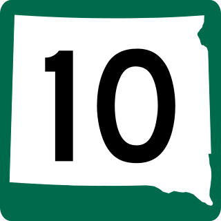
South Dakota Highway 10 (SD 10) is a 175.945-mile (283.156 km) state highway in the north-central and northeastern portions of South Dakota, United States. It connects SD 1804 in Pollock with the Minnesota state line southeast of Sisseton.

South Dakota Highway 44 (SD 44) is a state highway in southern South Dakota that runs from U.S. Route 385 (US 385) west of Rapid City to Interstate 29 (I-29) south of Sioux Falls. It is just more than 379 miles (610 km) long.
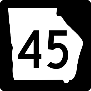
State Route 45 (SR 45) is a 88.1-mile-long (141.8 km) state highway that runs south-to-north through portions of Seminole, Miller, Early, Calhoun, Terrell, Webster, and Sumter counties in the southwestern part of the U.S. state of Georgia. The route connects Iron City and Plains, via Colquitt and Dawson.

South Dakota Highway 21 (SD 21) is a 9.470-mile (15.240 km) state highway in south-central Hamlin Countym South Dakota, that connects Lake Norden and Hayti.

South Dakota Highway 22 (SD 22) is a 48.546-mile-long (78.127 km) state highway in Hamlin and Deuel counties in South Dakota, United States. It connects Hazel and Clear Lake.
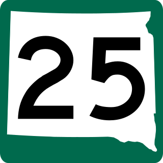
South Dakota Highway 25 (SD 25) is a 194.524-mile-long (313.056 km) state highway in the eastern part of the U.S. state of South Dakota. It connects Scotland, Howard, De Smet, and Webster.
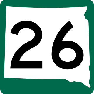
South Dakota Highway 26 (SD 26) is a 49.540-mile-long (79.727 km) state highway in the central part of the U.S. state of South Dakota. It connects rural areas of Hyde, Hand, and Spink counties.
South Dakota Highway 28 (SD 28) is a 105.937-mile (170.489 km) state highway in the east-central South Dakota, United States, that connects Hitchcock, Estelline, and Toronto.
South Dakota Highway 30 (SD 30) is a 17.077-mile-long (27.483 km) state highway in the east-central part of the U.S. state of South Dakota. It connects the north-central part of Brookings with the northeastern part of it.

South Dakota Highway 32 (SD 32) is a 8.643-mile-long (13.910 km) state highway in Moody County, South Dakota, United States, connects Interstate 29 (I-29) with Flandreau.

South Dakota Highway 19 (SD 19) is a 86.974-mile (139.971 km) state highway in southeastern South Dakota, United States. It connects the Nebraska state line, south of Vermillion, with the southeastern part of the Madison area, via Viborg, Hurley, Parker, and Humboldt. SD 19 formerly entered Centerville, but was shifted to the south. Its former path was redesignated as SD 19A. Its former southern terminus was at Vermillion, but was extended when a new bridge from Nebraska opened.

South Dakota Highway 20 (SD 20) is a 385.079-mile (619.725 km) state highway in northern South Dakota, United States, that connects the Montana state line, west-southwest of Camp Crook, with the Minnesota state line, east-southeast of Revillo, via Buffalo, Bison, Timber Lake, Mobridge, Selby, and Watertown. From Mobridge to the Walworth–Potter county line, this highway is part of the Lewis and Clark Trail. From about Timber Lake to just west of Mobridge, this highway is part of the Native American Scenic Byway. From the Montana state line to Camp Crook, the highway is a dirt road.
South Dakota Highway 42 (SD 42) is a segmented state highway in southeastern South Dakota, United States. The first segment is a six-mile-long (9.7 km) highway in Aurora County. The second and longest is 60 miles (97 km) long and connects Ethan and Sioux Falls. The final segment connects Sioux Falls to Iowa Highway 9 southeast of Rowena.

Interstate 90 Business may refer to several business routes of the Interstate Highway System that connects Interstate 90 with the central business district of various cities bypassed by I-90. Each business route can be either a business loop or a business spur, depending on whether both ends connect to I-90. The business route in each community is considered a unique route. In many cases, these routes are a former section of a U.S. Route.
South Dakota Highway 253 (SD 253) is an 18.024-mile-long (29.007 km) state highway in the north-central part of the U.S. state of South Dakota. It exists entirely within Edmunds County, from U.S. Route 12 (US 12) west of Roscoe to SD 47 north of Bowdle. The route is maintained by the South Dakota Department of Transportation (SDDOT) and is not a part of the National Highway System.

South Dakota Highway 258 (SD 258) is a 2.552-mile-long (4.107 km) state highway in Aurora County, South Dakota. It runs from Interstate 90 (I-90) to U.S. Route 281, and is maintained by the South Dakota Department of Transportation (SDDOT). The route is not a part of the National Highway System.

South Dakota Highway 239 (SD 239) is a 7.312-mile-long (11.768 km) state highway located entirely within McPherson County, South Dakota. Its southern terminus is at an intersection with SD 10/SD 45. This terminus is located about 12 miles (19 km) west-northwest of Leola and about 19.7 miles (31.7 km) east-southeast of Eureka. Its northern terminus is at 106th Street in the small community of Long Lake.

South Dakota Highway 1804 (SD 1804) is a 126.745-mile-long (203.976 km) state highway in the U.S. state of South Dakota.

South Dakota Highway 271 (SD 271) is a 25.010-mile-long (40.250 km) state highway in the north-central part of the U.S. state of South Dakota. It connects portions of northeast Walworth County with the northeastern part of Campbell County.

South Dakota Highway 63 (SD 63) is a 167.455-mile (269.493 km) state highway in central South Dakota, United States, that connects U.S. Route 18 (US 18) south-southeast of Parmelee with the North Dakota state line north of McLaughlin.

