
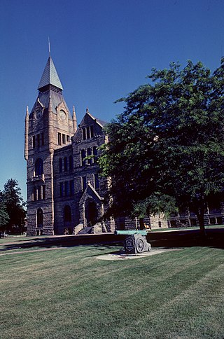
Winnebago County is a county located in the U.S. state of Illinois. According to the 2020 census, it had a population of 285,350 making it the seventh most populous county in Illinois behind Cook County and its five surrounding collar counties. Its county seat is Rockford. Winnebago County is the central county of the Rockford Metropolitan Statistical Area.

Monroe County is a county located in the U.S. state of Illinois. According to the 2020 census, it had a population of 34,962. Its county seat and largest city is Waterloo.

Lake County is situated in the northeastern corner of the U.S. state of Illinois, along the shores of Lake Michigan. As of the 2020 census, it has a population of 714,342, making it the third-most populous county in Illinois. Its county seat is Waukegan, the tenth-largest city in Illinois. The county is primarily suburban, with some urban areas and some rural areas. Due to its location, immediately north of Cook County, Lake County is one of the collar counties of the Chicago metropolitan area. Its northern boundary is the Wisconsin state line.
Knox County is a county in the U.S. state of Illinois. According to the 2020 census, it had a population of 49,967. Its county seat is Galesburg.

Kane County is a county in the U.S. state of Illinois. According to the 2020 census, it has a population of 516,522, making it the fifth-most populous county in Illinois. Its county seat is Geneva, and its largest city is Aurora. Kane County is one of the collar counties of the metropolitan statistical area designated "Chicago–Naperville–Elgin, IL–IN–WI" by the US Census.
Jefferson County is a county located in the southern part of the U.S. state of Illinois. According to the 2020 census, it has a population of 37,113. The county seat is Mount Vernon.

Fairview Heights is a city in St. Clair County, Illinois, United States within Greater St. Louis. It is an eastern suburb of St. Louis. The population was 17,078 at the 2010 census. Fairview Heights is a dominant shopping center for Greater St. Louis and Southern Illinois and includes numerous shopping plazas and St. Clair Square mall. Venture Stores opened its first discount department store in 1970 in Fairview Heights at the northwest corner of Illinois Street and Lincoln Trail, which was U.S. Route 50 at the time.
Greenfield Township is a township in Erie County, Pennsylvania, United States. The population was 1,804 at the 2020 census,

Illinois Route 71 is a 66-mile-long (106 km) southwest-to-northeast state highway in north central Illinois. It runs from the end of Interstate 180 in Hennepin to U.S. Route 34 in Oswego. This is a distance of 69.37 miles (111.64 km).

Saco is an unincorporated community in southern Madison County, Missouri, United States. The community is situated on Twelvemile Creek and is located sixteen miles southwest of Fredericktown on Missouri Route C.

Ela Township is a township in Lake County, Illinois, USA. As of the 2010 census, its population was 42,654.
Wauconda Township is a township in Lake County, Illinois, USA. As of the 2020 census, its population was 23,628.

Loudon Township is one of twenty townships in Fayette County, Illinois, USA. As of the 2010 census, its population was 954 and it contained 418 housing units.
Allen's Corners is an unincorporated community in Kane County, Illinois, United States. Allen's Corner is a landmark of the Allen family, the first settlers of Kane County in 1836. First known as blacksmiths and farmers, the towing business was started in 1937. The community is located at the intersection of U.S. Route 20 and Allen and Brier Hill roads.
Loves Corner is an unincorporated community in Hardin County, Illinois, United States. Loves Corner is located at the intersection of Illinois Route 1 and Illinois Route 146, north of Cave-In-Rock.
Millburn is a former unincorporated community in Lake Villa Township and Newport Township, Lake County, Illinois, United States. Millburn is located at the junction of U.S. Route 45 and County Routes A10 and A14; it lies within the village of Old Mill Creek and borders Lindenhurst to the west. It is 5 miles (8 km) south of the Illinois-Wisconsin state border and 10 miles (16 km) west of Waukegan.
Zier Cors, or Zier Corners, is an unincorporated community in Carroll County, Illinois, United States. Zier Cors is located north of Lanark in Cherry Grove–Shannon Township, at the junction of Illinois Route 72 and Illinois Route 73.
Faro is an unincorporated community in Twelvemile Township in Madison County, Missouri, United States. The community was located on Captain Creek, approximately one mile northeast of the St. Francis River. The community site is located on Missouri Route O between Arnett Mountain to the north and Rock Pile Mountain to the south.
Twelvemile Creek is a stream in Madison County in the U.S. state of Missouri. It is a tributary of St. Francis River.


