
Canton is an unincorporated community in Jackson and Jones counties, Iowa, United States.
Dewar is an unincorporated town in eastern Black Hawk County, Iowa, United States. It lies northeast of the city of Waterloo, the county seat of Black Hawk County. Its elevation is 889 feet (271 m). Although Dewar is unincorporated, it has a post office with the ZIP code of 50623, which opened on 25 October 1887.
Cedar is an unincorporated community in southeastern Mahaska County, Iowa, United States. It lies along Iowa Highway 23 southeast of the city of Oskaloosa, the county seat of Mahaska County.
Killduff is an unincorporated community in southeastern Jasper County, Iowa, United States. It lies along local roads southeast of the city of Newton, the county seat of Jasper County.
Oran is an unincorporated community in southwestern Fayette County, Iowa, United States. It lies along local roads southwest of the city of West Union, the county seat of Fayette County, and west of the city of Oelwein, the largest city in Fayette County. Its elevation is 1,043 feet (318 m). Although Oran is unincorporated, it has a post office with the ZIP code of 50664.
Conroy is an unincorporated community and census-designated place (CDP) in central Iowa County, Iowa, United States. It lies along local roads southeast of the city of Marengo, the county seat of Iowa County. Its elevation is 879 feet (268 m). Conroy has a post office with the ZIP code of 52220, which opened on 5 January 1885. As of the 2010 census the population was 259.

Austinville is an unincorporated community in southwestern Butler County, Iowa, United States. It lies along Iowa Highway 57 southwest of the city of Allison, the county seat of Butler County. Its elevation is 1,001 feet (305 m). Although Austinville is unincorporated, it has a post office with the ZIP code of 50608, which opened on 3 October 1892.
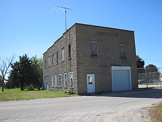
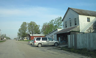
Prole is an unincorporated rural village in northwestern Warren County, Iowa, United States. It lies along Iowa Highway 28 northwest of the city of Indianola, the county seat of Warren County. Its elevation is 978 feet (298 m). Prole has a post office, with the ZIP code of 50229, a cafe, a floral shop and an auto repair shop by way of businesses and services.
Argyle is an unincorporated community in southwestern Lee County, Iowa, United States. It lies along the concurrent Iowa Highways 27 and 394 southwest of the city of Fort Madison, the county seat of Lee County. Its elevation is 679 feet (207 m). Although Argyle is unincorporated, it has a post office, with the ZIP code of 52619, which opened on 1888-03-15. The community is part of the Fort Madison–Keokuk, IA-MO Micropolitan Statistical Area.
Churchville is an unincorporated community in Warren County, Iowa, United States. It is located in Jefferson Township at the intersection of Churchville Street and 30th Avenue. It is 1.5 miles (2.4 km) southwest of Prole and two miles (3.2 km) north of Martensdale at an altitude of 971 feet (296 m).
Lycurgus is a rural unincorporated community in Allamakee County, Iowa, United States.
Cosgrove is an unincorporated community in Johnson County, Iowa, United States.
St. Joseph is an unincorporated community and census-designated place (CDP) in Riverdale Township, Kossuth County, Iowa, United States. As of the 2010 census the population was 61.
Olaf is an unincorporated community in Wright County, Iowa, United States.
Perkins is an unincorporated community in Sioux County, Iowa, United States. At Perkins, U.S. Route 18 and U.S. Route 75 are concurrent roadways.
Watson is an unincorporated community in Clayton County, Iowa, United States. The county seat of Elkader lies approximately 15 miles to the southwest.
Wood is an unincorporated community in Clayton County, Iowa, United States. The county seat of Elkader lies 14 miles to the north.
Fielding is an unincorporated community in Tilden Township, Cherokee County, Iowa, United States. Fielding is located along County Highway L36, 14 miles (23 km) west-southwest of Cherokee.
Five Points is an unincorporated community in Dubuque County, Iowa, United States.
Sand Springs is an unincorporated community in South Fork Township, Delaware County, Iowa, United States. The community is on Iowa Highway 38, 3.5 miles (5.6 km) east-southeast of Hopkinton.


