Nicaragua is a unitary republic, divided for administrative purposes into fifteen departments and two autonomous regions :
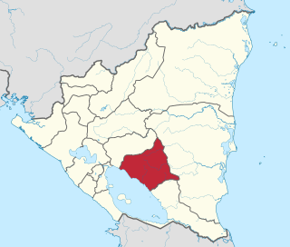
Chontales is a department in Nicaragua. It covers an area of 6,481 km² and has a population of 191,856. The capital is Juigalpa. Some 90 kilometres (56 mi) of land overlooks Lake Cocibolca on the western side. The department is livestock and fishing based, and is also a producer of apples.

Boaco is the capital city and a municipality of the Boaco Department of Nicaragua. The municipality of Boaco has a population of 63,422 and an area of 1,087 km2 while the department (state) is 4,177 km2.

Juigalpa is the municipal seat of Juigalpa Municipality and the capital city of the Chontales Department of Nicaragua. It is located within the municipality of Juigalpa, approximately 140 km east of Managua on Carretera Rama, in the central region of Nicaragua.
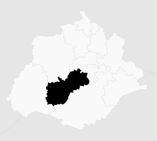
La Libertad is a municipality in the Chontales Department of Nicaragua.
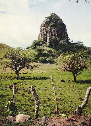
San Francisco de Cuapa is a municipality in the Chontales Department of Nicaragua. This municipality was created July 30, 1997 and is located in the northeast section of Chontales. Before that date, the town was part of the municipality of Juigalpa. Its area is about 277 km2 (107 sq mi). The principal business activity is the cattle and agriculture. 99% of the population is Catholic. The first mayor was Manuel Antonio Zelaya Meneses and the vice-mayor was Oscar Velasquez Gonzalez. They were elected in 1997.
El Cuá is a municipality in the Jinotega department of Nicaragua. Formerly part of the municipality of El Cuá-Bocay, it became a separate municipality in 2002. Its population rose from 43,305 in 2005 to 56,897 in 2012.
Esquipulas is a municipality in the Matagalpa department of Nicaragua.

El Castillo is a municipality located on the Río San Juan in the Río San Juan Department of Nicaragua. The settlement of what would eventually become the municipality of El Castillo began in 1673, when construction of the Fortaleza de la Limpia Pura e Inmaculada Concepción, was begun. The village of El Castillo eventually grew around the fortress, which continued to be strategically important to the Captaincy General of Guatemala until the late 18th century.

La Paz is a municipality of the Mexican state of Baja California Sur. Its area of 20,275 km² makes it the municipality in Mexico with the fourth-largest area. It had a population of 290,286 inhabitants in the 2015 census. Its municipal seat, also named La Paz, is the state capital.
Nicaragua is a country in Central America with constitutional democracy with executive, legislative, judicial, and electoral branches of government. The President of Nicaragua is both head of state and head of government. Executive power is exercised by the government.
Jesús María is a municipality in the Mexican state of Aguascalientes. It stands at 21°58′N102°21′W. As of 2010, the municipality had a total population of 99,590.
Tepecoacuilco de Trujano is one of the 81 municipalities of Guerrero, in south-western Mexico. The municipal seat lies at Tepecoacuilco de Trujano. The municipality covers an area of 984 km².
Chicontepec is a municipality in the Mexican state of Veracruz. It is located in the north of the State of Veracruz. It has a surface area of 978 square kilometres (378 sq mi). It is located at 20°58′N98°10′W.

Zacualpan is one of the 125 municipalities in the State of Mexico in Mexico. It's municipal seat and largest settlement is the town of Zacualpan. It's located to the South of the state sharing a border with the State of Guerrero, 40 minutes from Ixtapan de la Sal, 1 hour and 50 minutes from the city of Toluca, and 2 and a half hours from Mexico City. The municipality covers an area of 305.5 km². Zacualpan is delimited to the North by the municipalities of Almoloya de Alquisiras and Coatepec Harinas, to the East by Ixtapan de la Sal and the municipality of Pilcaya (Guerrero), to the West by Sultepec, and to the South by Pilcaya, Tetipac, and Pedro Ascencio de Alquisiras (Guerrero).
Santo Domingo Xagacía is a town and municipality in Oaxaca in south-western Mexico. It is part of the Villa Alta District in the center of the Sierra Norte Region.
Tecali de Herrera is a town and municipality in the Mexican state of Puebla, southeastern Mexico.
Imuris Municipality is a municipality in the Mexican state of Sonora in north-western Mexico.

Puerto Peñasco Municipality is a municipality in the Mexican state of Sonora in north-western Mexico. As of 2015, the municipality had a total population of 62,177 inhabitants. The only locality with a significant population is the municipal seat, also named Puerto Peñasco, which contains almost 99% of the municipality's population.

San Isidro is a village in the province of Alicante and autonomous community of Valencia, Spain. The municipality covers an area of 11.69 square kilometres (4.51 sq mi) and as of 2011 had a population of 1934 people.