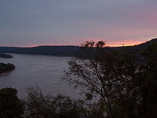
The Bermejo River is a river in South America that flows from Bolivia to the Paraguay River in Argentina. The river is generally called Bermejo in spite of its different names along its way, but it also has its own Native American names; in Wichí it is called Teuco, and in Guaraní it is called Ypitá. In the plains of Argentina's Gran Chaco the Bermejo forms wetlands and splits into two branches. The southern branch is the bed of the old Bermejo River, now an intermittent stream called Río Bermejito. The northern branch is now the main stem of the Bermejo and is called the Teuco River, Bermejo Nuevo, or simply the Bermejo River. The two branches rejoin at 25°39′S60°11′W, near Villa Río Bermejito, forming the Lower Bermejo River.
The Carcarañá River is a river in Argentina. It begins at the confluence of the Río Tercero and the Saladillo River in the south-east of the province of Córdoba and flows eastward into the province of Santa Fe, which it crosses.
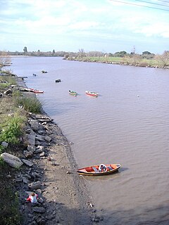
The Matanza River is known by several names, including, in Spanish, Río de la Matanza, Río Matanza, Río Mataderos, Río de la Manzana or simply Riachuelo. It is a 64-kilometre (40 mi) stream in Argentina that originates in the Buenos Aires Province and defines the southern boundary of the Buenos Aires federal district. It empties into the Río de la Plata between Tandanor and Dock Sud. The La Boca neighbourhood and the Boca Juniors football club are located near the Riachuelo's mouth. The Spanish word boca means "mouth".

The Cuarto River is a river of Argentina which crosses the southern part of the Province of Córdoba, and merges with the Tercero River to form the Carcarañá River. The Cuarto River is also known as Cochancharava, the name given to it by the Ranquel Indians.
The Ibicuí River is a river in Rio Grande do Sul state of southern Brazil. The Ibicuí is 290 km in length, and is the main tributary of the Uruguay River. It is formed by the confluence of the Ibicuí-Mirim River and Santa Maria River at the city of Cacequi. The Ibicuí divides the cities of Uruguaiana and Itaqui.
The Gualeguaychú River is a river in the province of Entre Ríos, Argentina. It starts in the center-east of the province, within the Colón Department, and flows south, passing by the city of Gualeguaychú and then emptying into the Uruguay River. Its drainage basin has an area of 6,693 square kilometres (2,584 sq mi).

The Luján River runs from its source near Espora about 100 kilometres (62 mi) east of Buenos Aires, Argentina, to its outflow into the Río de la Plata north of the city. The first Megatherium fossil was found here in 1789.

Getamej is a town in the Kotayk Province of Armenia. 'Getamej' translates roughly to English a 'Mid-River'.
The Arrecifes River is a river of Argentina. It is a tributary of the Paraná River. It flows into the Paraná Delta area and joins the Paraná de las Palmas distributary of the Paraná River.

The Nogoya River is a river of Argentina. It is a tributary of the Paraná River, which it joins in a region of wetlands and complex distributaries.
The Palometa River is a river of Chaco Province, Argentina. It is a tributary of the Paraná Miní River.
The Paraná Miní River English: Río Paraná Miní) is an anabranch, or "secondary branch", and tributary of the Paraná River. It is located in the provinces of Santa Fe and Chaco, Argentina. In Chaco Province the Paraná Miní receives several relatively small tributaries, including the Tapenagá River, Palometa River, and Salado River.
The Pepiri-Guazu River is a river of Argentina and the Santa Catarina state in southeastern Brazil. For its entire course, it forms a short portion of the international border between Argentina and Brazil. It flows from north to south into the Uruguay River.
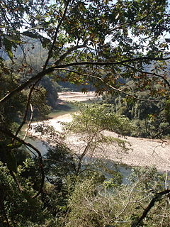
The Pescado River is a river of Argentina. It is a tributary of the Bermejo River.
The Río Grande de Tarija is a river of Argentina and Bolivia. It is a tributary of the Bermejo River. It is also known as the Río Tarija and the Tarija River.
The San Antonio River is a tributary of the Iguazu River. The San Antonio River forms the border between Misiones Province in Argentina and Paraná State in Brazil. South of the San Antonio's source near Barracão, the international border continues south along the Pepiri-Guazu River, which forms the border between Misiones Province and Santa Catarina State.
The San Francisco River is a river of Argentina. It is a tributary of the Bermejo River.
The Santa Lucía River is a river of Corrientes Province, Argentina. It is a tributary of the Paraná River.
The Aporé River is a river forming the border between Goiás and Mato Grosso do Sul states in central Brazil. It is a tributary of the Paranaíba River, which it enters in the reservoir created by Ilha Solteira Dam on the Paraná River.