| Ajnuj | |
|---|---|
| Village | |
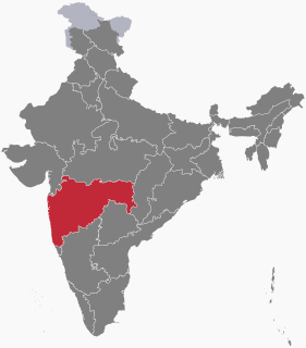
 Ajnuj Location in Maharashtra, India  Ajnuj Ajnuj (India) | |
| Coordinates: 18°03′06″N74°00′09″E / 18.05167°N 74.00250°E Coordinates: 18°03′06″N74°00′09″E / 18.05167°N 74.00250°E | |
| Country | |
| State | Maharashtra |
| District | Satara |
| Government | |
| • Body | Ajnuj Grampanchayat |
| Elevation | 710 m (2,330 ft) |
| Population (2011) | |
| • Total | 1,198 |
| Languages | |
| • Official | Marathi |
| Time zone | IST (UTC+5:30) |
| Area code(s) | 02169 |
| Vehicle registration | MH-11 |
| Website | www.satara.nic.in |
Ajnuj is a village that is situated west of the taluka city of Khandala in the Satara district of Maharashtra, India, on the Khandala-Bhor Road. The MSRTC Depot of Khandala is in Ajnuj.

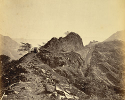
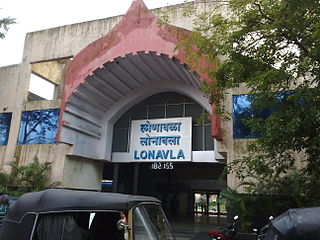
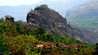
Khandala is a taluka in the Satara district in Maharashtra, India. The Nira River passes through the region. Khandala Taluka is situated on the northern side of Satara district. Khandala, Shirwal and Lonand are large towns in the taluka. Khandala got separated from Wai Taluka along with Mahabaleshwar for easier administration. The Nira River flows from the northern border of the taluka. "VEER" is the largest dam on the Nira River in Khandala. The southern border is covered with "MAHADEVACHE DONGAR", meaning Mahadev Hills.
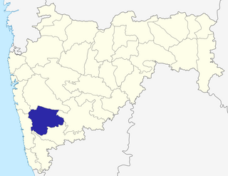
Satara district is a district of Maharashtra state in western India with an area of 10,480 km² and a population of 3,003,741 of which 14.17% were urban. Satara is the capital of the district and other major towns include Wai, Karad, ,Koregaon, Dahiwadi, Koynanagar, Rahimatpur, Phaltan, Mahabaleshwar, Vaduj and Panchgani. This district comes under Pune Administrative Division along with Pune, Sangli, Solapur and Kolhapur. The district of Pune bounds it to the north, Raigad bounds it to the North-West, Solapur the east, Sangli to the south, and Ratnagiri to the west.
Maharashtra is a state considered to be part of western, central, southern and south-central India. It is the second-most populous state and third-largest state by area in India. Spread over 307,713 km2 (118,809 sq mi), it is bordered by the Arabian Sea to the west, the Indian states of Karnataka and Goa to the south, Telangana and Chhattisgarh to the east, Gujarat and Dadra and Nagar Haveli to the north west, and Madhya Pradesh to the north. It is also the world's second-most populous subnational entity. It was formed by merging the western and south-western parts of the Bombay State, Berar and Vidarbha, and the north-western parts of the Hyderabad State and splitting Saurashtra by the States Reorganisation Act. It has over 112 million inhabitants and its capital, Mumbai, has a population around 18 million making it the most populous urban area in India. Nagpur hosts the winter session of the state legislature. Pune is known as 'Oxford of the East' due to the presence of several well-known educational institutions.