Akania Nasirpur | |
|---|---|
 Akania Nasirpur 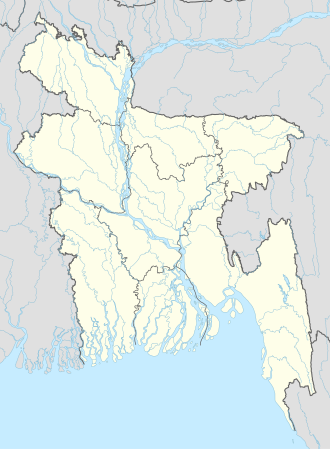 Akania Nasirpur | |
| Coordinates: 23°17′39″N90°54′21″E / 23.29417°N 90.90583°E | |
| Country | Bangladesh |
| Division | Chittagong Division |
| District | Chandpur District |
| Upazila | Kachua |
| Union council | Karaia |
| Population (2011) | |
• Total | 5,275 |
| Time zone | UTC+6 (Bangladesh Time) |
Akania Nasirpur is a village in Chandpur District in the Chittagong Division of eastern Bangladesh. [1] It is located within Karaia union council in Kachua Upazila. Administratively, it is a mauza made up of two villages: Akania (population of 4,006) and Nasirpur (1,269). [2] There is one secondary school in the village, Akania Nasirpur High School. [3]