This article has multiple issues. Please help improve it or discuss these issues on the talk page . (Learn how and when to remove these messages)
|
Al Mataf | |
|---|---|
 Al Mataf | |
| Coordinates: 25°50′35″N55°59′49″E / 25.842961°N 55.996812°E | |
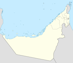
| Country | United Arab Emirates |
| Emirate | Ras al-Khaimah |
| Elevation | 19 m (62 ft) |
Al Mataf is the name of a suburb of Ras Al Khaimah. [1] [ failed verification ] [2] [ failed verification ]
