Arazi Gobindapur | |
|---|---|
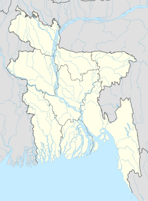 Arazi Gobindapur Location in Bangladesh | |
| Coordinates: 22°36′N90°14′E / 22.600°N 90.233°E Coordinates: 22°36′N90°14′E / 22.600°N 90.233°E | |
| Country | |
| Division | Barisal Division |
| District | Jhalokati District |
| Time zone | UTC+6 (Bangladesh Time) |
Arazi Gobindapur is a village in Jhalokati District in the Barisal Division of southern-central Bangladesh. [1]

Jhalokathi is a district in southern Bangladesh. It is located in the Barisal Division and covers an area of 758.06 km2 It is bounded by Barisal district to the north and east, Barguna district and the Bishkhali river in the south, Lohagara Upazila and Pirojpur district to the west. Annual average temperatures: maximum 33.3 °C, minimum 12.1 °C; annual rainfall 2506 mm. Main rivers in this district are Bishkhali, Sugandha, Dhanshiri, Gabkhan, Jangalia and Bamanda, Bajitpur River.

Barisal Division, officially known as Barishal Division, is one of the eight administrative divisions of Bangladesh. Located in the south-central part of the country, it has an area of 13,644.85 km2 (5,268.31 sq mi), and a population of 8,325,666 at the 2011 Census. It is bounded by Dhaka Division on the north, the Bay of Bengal on the south, Chittagong Division on the east and Khulna Division on the west. The administrative capital, Barisal city, lies in the Padma River delta on an offshoot of the Arial Khan River. Barisal division is criss-crossed by numerous rivers that earned it the nickname 'Dhan-Nodi-Khal, Ei tine Borishal'.
Bangladesh, officially the People's Republic of Bangladesh(গণপ্রজাতন্ত্রী বাংলাদেশGônoprojatontri Bangladesh), is a country in South Asia. While the country is the 92nd-largest in land area, spanning 147,570 square kilometres (56,980 sq mi), it is the world's 8th-most populous with nearly 163 million people, making it one of the most densely populated countries in the world. Bangladesh shares land borders with India to the west, north, and east, Myanmar to the southeast, and the Bay of Bengal to the south. Dhaka, the capital and largest city, is the nation's economic, political and cultural hub. Chittagong, the largest sea port, is the second largest city. The dominant geographic feature is the Ganges delta, which empties into the Bay of Bengal the combined waters of several river systems, including the Brahmaputra and the Ganges, with numerous criss-crossing rivers and inland waterways. Highlands with evergreen forests cover the northeastern and southeastern regions. The seacoast features the longest natural sea beach and most of the world's largest mangrove forest. The country's biodiversity includes a vast array of plants and wildlife, including the endangered Bengal tiger, the national animal.