
State Route 55 (SR 55) is an 18-mile (30-km) long north–south state highway that passes through suburban Orange County in the U.S. state of California. The portion of the route built to freeway standards is known as the Costa Mesa Freeway. SR 55 runs between Via Lido south of Pacific Coast Highway in Newport Beach and the Riverside Freeway in Anaheim to the north, intersecting other major Orange County freeways such as SR 22, SR 73, and Interstate 405 (I-405).

State Route 152 is a state highway that runs from east to west near the middle of the U.S. state of California from State Route 1 in Watsonville to State Route 99 southeast of Merced. Its western portion provides access to and from Interstate 5 toward Southern California for motorists in or near Gilroy and San Jose.

State Route 140 is a state highway in the U.S. state of California, 102 miles (164 km) in length. It begins in the San Joaquin Valley at Interstate 5 near Gustine, and runs east into Sierra Nevada, terminating in Yosemite National Park.

State Route 118 is a state highway in the U.S. state of California that runs west to east through Ventura and Los Angeles counties. It travels from State Route 126 at the eastern edge of Ventura immediately northwest of Saticoy, then through Saticoy, in Ventura County east to Interstate 210 near Lake View Terrace in Los Angeles. SR 118 crosses the Santa Susana Pass and the northern rim of the San Fernando Valley along its route.

State Route 49 is a north–south state highway in the U.S. state of California that passes through many historic mining communities of the 1849 California gold rush and it is known as the Golden Chain Highway. The road was initially lobbied in 1919 by the Mother Lode Highway Association, a group of locals and historians. The highway begins at State Route 41 in Oakhurst, Madera County, in the Sierra Nevada. It continues in a generally northwest direction, weaving through the communities of Goldside and Ahwahnee, before crossing into Mariposa County. State Route 49 then continues northward through the counties of Tuolumne, Calaveras, Amador, El Dorado, Placer, Nevada, Yuba, Sierra, and Plumas, where it reaches its northern terminus at State Route 70, in Vinton.

State Route 16 is a state highway in the northern region of the U.S. state of California that runs from Route 20 in Colusa County to Route 49 just outside Plymouth in Amador County, primarily crossing the Sacramento Valley. Much of the route through the Sacramento area is unsigned as it runs on a concurrency with the I-5 and US 50 freeways.
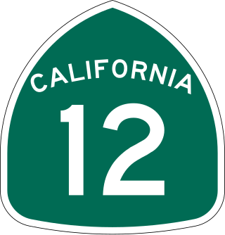
State Route 12 is a state highway in the U.S. state of California that travels in an east–west direction from State Route 116 in Sebastopol in Sonoma County to State Route 49 just north of San Andreas in Calaveras County. The route connects the Sonoma and Napa valleys with the Sacramento–San Joaquin River Delta and the Sierra Foothills. It is constructed to freeway standards from the Fulton Road/South Wright Road stoplight in Santa Rosa, to its partial interchange with Farmers Lane.

State Route 4 is a state highway in the U.S. state of California, routed from Interstate 80 in the San Francisco Bay Area to State Route 89 in the Sierra Nevada. It roughly parallels the Sacramento-San Joaquin River Delta, a popular area for boating and fishing, with a number of accesses to marinas and other attractions. After crossing the Central Valley, the highway ascends up the Sierra foothills. It passes through Ebbetts Pass and contains the Ebbetts Pass Scenic Byway, a National Scenic Byway.

State Route 41 is a state highway in the U.S. State of California, connecting the Central Coast with the San Joaquin Valley and the Sierra Nevada. Its southern terminus is at the Cabrillo Highway in Morro Bay, and its northern terminus is at SR 140 in Yosemite National Park. It has been constructed as an expressway from near SR 198 in Lemoore north to the south part of Fresno, where the Yosemite Freeway begins, passing along the east side of downtown and extending north into Madera County.

State Route 88 (SR 88), also known as the Carson Pass Highway, is a state highway in the U.S. state of California. It travels in an east–west direction from Stockton, in the San Joaquin Valley, to the Nevada state line, where it becomes Nevada State Route 88, eventually terminating at U.S. Route 395 (US 395). The highway is so named as it crests the Sierra Nevada at Carson Pass. The highway corridor predates the era of the automobile; the path over Carson pass was previously used for the California Trail and the Mormon Emigrant Trail. The mountainous portion of the route is included in the State Scenic Highway System.

State Route 89 is a state highway in the U.S. state of California that travels in the north–south direction, serving as a major thoroughfare for many mountain communities in the Sierra Nevada and the Cascade Range. It starts from U.S. Route 395 near Topaz Lake, winding its way up to the 8,314-foot (2,534 m) Monitor Pass, down to the Carson River, and up again over the 7,740-foot (2,359 m) Luther Pass. From that point on, the route generally loses elevation on its way past Lake Tahoe, through Tahoe and Plumas National Forests until Lake Almanor. For roughly nine miles the route is then a part of State Route 36. The route then ascends to the 5,753-foot (1,754 m) Morgan Summit. After it enters Lassen Volcanic National Park it continues to gain elevation until it reaches its highest point in an unnamed pass in the middle of Lassen Peak and Bumpass Mountain. The road then descends and heads northwest, finally terminating at Interstate 5 at the foot of Mount Shasta at around 3,600 feet (1,100 m).
Archie Stevenot was a prominent citizen in Calaveras County, California and Supreme Noble Grand Humbug of E Clampus Vitus. Born in Carson Hill, Stevenot helped found the California Chamber of Commerce and his family established the borax industry in the state. He also established the Mother Lode Highway Association in 1919 which was primarily responsible for the creation of State Route 49. As a result, the bridge across the Stanislaus River between Tuolumne and Calaveras counties on SR 49 is named the Archie Stevenot Bridge in his honor, and his birthplace has been declared California Historical Landmark No. 769.

State Route 26 is a state highway in the U.S. state of California, running from State Route 99 in Stockton in San Joaquin County to State Route 88 near Pioneer in Amador County. The highway is routed to serve Mokelumne Hill and West Point in Calaveras County.
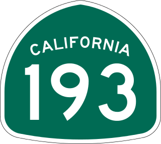
State Route 193 is a state highway in the U.S. state of California that runs through Placer and El Dorado counties. It begins as an east–west arterial road running from Lincoln to Newcastle, just west of Auburn. Then after concurrencies with Interstate 80 and State Route 49 through Auburn, SR 193 resumes heading eastward from Cool to Georgetown, then turning south to rejoin SR 49 just north of Placerville.

State Route 108 is a state highway in the U.S. state of California that runs from the Central Valley and across the Sierra Nevada via the Sonora Pass. It generally runs northeast from downtown Modesto near the SR 99/SR 132 interchange, to U.S. Route 395 near the Nevada state line. The route was once recommended to continue south of Modesto to Interstate 5, although today that portion exists as a county road. Parts of SR 108 are closed annually during the winter due to inclement weather along the summit.

State Route 104 is a west–east state highway in the U.S. state of California that runs from the Central Valley to the Sierra Foothills. It connects State Route 99 near Galt to State Route 49 in Sutter Creek via the city of Ione. It is known as Twin Cities Road from its western terminus up until just before Ione. West of the SR 104/SR 99 interchange, Twin Cities Road continues to Interstate 5 and then eventually end at State Route 160 north of Walnut Grove.
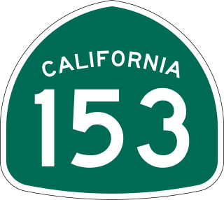
State Route 153 is a very short state highway in the U.S. state of California in El Dorado County. It extends only 0.5 miles (0.80 km) from the junction of Cold Springs Road and SR 49, in the town of Coloma in the heart of California's Gold Country, to the monument marking the grave of James Marshall, whose finding of gold along the American River, January 24, 1848 sparked the California Gold Rush. The exact routing is from SR 49 south on Cold Springs Road then west on Monument Road in Marshall Gold Discovery State Historic Park to the monument.

State Route 174 is a state highway in the U.S. state of California. The two-lane 13-mile (21 km) highway in the western Sierra Nevada, added to the state highway system in 1933, connects Interstate 80 in Colfax with SR 20/SR 49 in Grass Valley, crossing the Bear River next to a 1924 concrete arch bridge. The majority of the route is eligible for the State Scenic Highway System, but local residents have blocked its designation due to property right concerns.
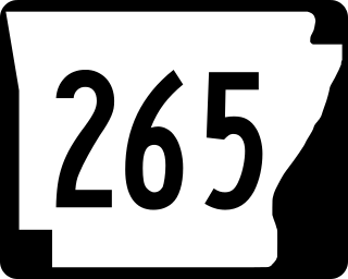
Arkansas Highway 265 is a designation for three state highways in Northwest Arkansas. The southern segment of 19.70 miles (31.70 km) runs from Highway 170 near Strickler north to Interstate 49 (I-49) in Fayetteville. A second segment runs from Highway 16 in Fayetteville north to Highway 94 in Rogers. Further north, a third segment of 3.324 miles (5.349 km) runs from Highway 94 in Pea Ridge north to the Missouri state line. The highways are maintained by the Arkansas Department of Transportation (ARDOT).
Interstate business routes are roads connecting a central or commercial district of a city or town with an Interstate bypass. These roads typically follow along local streets often along a former US route or state highway that had been replaced by an Interstate. Interstate business route reassurance markers are signed as either loops or spurs using a green shield shaped and numbered like the shield of the parent Interstate highway.

