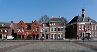
Bakel, Netherlands

Last updated
Bakel
Bakel Rijksmonument 8592 St.Willibrorduskerk.JPG
St Willbrordus Church
2010-NL-P10-Noord-Brabant-positiekaart-gemnamen.jpg
Red pog.svg
Bakel
Location in the province of North Brabant in the Netherlands
Netherlands location map.svg
Red pog.svg
Bakel
Bakel (Netherlands)
Coordinates: 51°30′9″N5°44′27″E / 51.50250°N 5.74083°E / 51.50250; 5.74083
Country Netherlands
Province North Brabant
Municipality Gemert-Bakel
Area
[1]
  Total20.87 km2 (8.06 sq mi)
Elevation
[2]
21 m (69 ft)
Population
 (2021) [1]
  Total5,960
  Density290/km2 (740/sq mi)
Time zone UTC+1 (CET)
  Summer (DST) UTC+2 (CEST)
Postal code
5761 [1]
Dialing code 0492

Bakel is a village east of Helmond and Eindhoven in southern part of the Netherlands. The total population is approximately 5,000. Until 1997, it formed the municipality of Bakel and Milheeze together with Milheeze. In 1997 Bakel merged with the Gemert municipality. [3]

Contents

Bakel does not have old buildings, with the exception of the 16th century St Willibrordus Church which is the oldest in the area. This church was modernized during the 1970s, but regained some of the original style of decoration during the 1990s.

The area surrounding Bakel is heavily forested; the agricultural economy is dominated by the bio industry. It has the highest pig density in the Netherlands.

History

The village was first mentioned in 715 as Bagoloso, which means "open forest on a ridge". [4]

The St Willibrordus Church, built in the 16th century, was severely damaged by fire in 1708, and largely rebuilt in 1721. [5]

Bakel was home to 277 people in 1840. [3]

Related Research Articles

<span class="mw-page-title-main">Gemert-Bakel</span> Municipality in North Brabant, Netherlands

Gemert-Bakel is a municipality in the southern Netherlands.

<span class="mw-page-title-main">Mierlo</span> Town in North Brabant, Netherlands

Mierlo is a village in the southern Netherlands, in the municipality of Geldrop-Mierlo, North Brabant. Until 2004, it was a separate municipality with an area of 18.09 km2 (7 sq mi).

<span class="mw-page-title-main">Heeswijk</span> Village in North Brabant, Netherlands

Heeswijk is a Dutch village. It is located in the province of North Brabant, in the south of the Netherlands.

<span class="mw-page-title-main">Oud-Vossemeer</span> Village in Zeeland, Netherlands

Oud-Vossemeer is a village on the island of Tholen in the Dutch province of Zeeland. It is a part of the municipality of Tholen, and lies about 13 km northwest of Bergen op Zoom, close to the Eendracht, part of the Scheldt-Rhine Canal.

<span class="mw-page-title-main">Gemert</span> Town in North Brabant, Netherlands

Gemert is a town in the Dutch province of North Brabant. It is located in the municipality of Gemert-Bakel.

<span class="mw-page-title-main">Berghem</span> Town in North Brabant, Netherlands

Berghem is a town in the Dutch municipality of Oss. It is located about 4 km northeast of Oss itself.

<span class="mw-page-title-main">'s-Heerenhoek</span> Village in Zeeland, Netherlands

's-Heerenhoek is a village in the Dutch province of Zeeland. It is a part of the municipality of Borsele, and lies about 12 km east of Middelburg.

<span class="mw-page-title-main">Ossenisse</span> Village in Zeeland, Netherlands

Ossenisse is a village in the Dutch province of Zeeland. It is a part of the municipality of Hulst, and lies about 24 km west of Bergen op Zoom.

<span class="mw-page-title-main">Putte, Netherlands</span> Village in North Brabant

Putte is part of the Dutch municipality of Woensdrecht, and had 3751 inhabitants as of 1 January 2008. The village lies on and extends over the border between the Netherlands and Belgium, the Belgian part being Putte, Kapellen.

<span class="mw-page-title-main">Bakel en Milheeze</span>

Bakel en Milheeze is a former municipality in the Dutch province of North Brabant. It consisted of the villages Bakel, Milheeze, and De Rips. It has been a part of the municipality of Gemert-Bakel since 1997.

Hoeven is a hamlet in the southern Netherlands. It is located in the Dutch province of North Brabant, in the municipality of Gemert-Bakel, about 1 km southeast of Milheeze and about 4 km north of Deurne.

<span class="mw-page-title-main">Diessen</span> Village in North Brabant, Netherlands

Diessen is a village in the Dutch province of North Brabant. It is located in the municipality of Hilvarenbeek.

<span class="mw-page-title-main">Esch, Netherlands</span> Village in North Brabant, Netherlands

Esch is a village in the Dutch province of North Brabant. It is located in the municipality of Boxtel.

<span class="mw-page-title-main">Vlierden</span> Village in North Brabant, Netherlands

Vlierden is a village in the Dutch province of North Brabant. It is located in the municipality of Deurne, about 20 km east of Eindhoven.
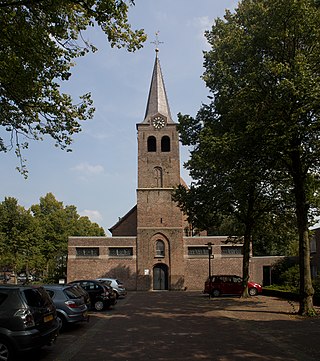
<span class="mw-page-title-main">Milheeze</span> Village in North Brabant, Netherlands

Milheeze is a village in the Dutch province North Brabant. Milheeze is part of the municipality Gemert-Bakel.

<span class="mw-page-title-main">De Rips</span> Village in North Brabant, Netherlands

De Rips is a village east of Helmond and Eindhoven in southern part of the Netherlands. Until the late 1990s it formed the municipality of Bakel and Milheeze alongside Milheeze and Bakel, but in 1997 it was forced to merge with the larger Gemert municipality.

<span class="mw-page-title-main">Middelbeers</span> Village in North Brabant, Netherlands

Middelbeers is a village in the municipality of Oirschot in the Dutch province of North Brabant. It is located between Oirschot and Hilvarenbeek. It is one of the three Beers villages.
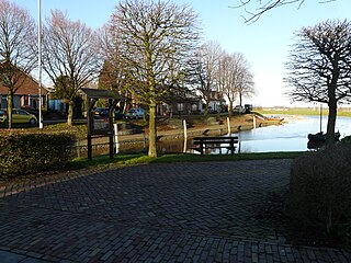
<span class="mw-page-title-main">Hooge Zwaluwe</span> Village in North Brabant, Netherlands

Hooge Zwaluwe is a village in the Dutch province of North Brabant. It is located in the municipality of Drimmelen, about 3.5 km north-west of Made.
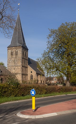
<span class="mw-page-title-main">Drempt</span> Village in Gelderland, Netherlands

Drempt is a village in the Dutch province of Gelderland. It is located in the municipality of Bronckhorst. It used to consists of two villages: Achter-Drempt (behind) and Voor-Drempt which have merged. Drempt is located about 9 kilometres (5.6 mi) north-west of Doetinchem.

<span class="mw-page-title-main">De Mortel</span> Village in North Brabant, Netherlands

De Mortel is a village in the Dutch province of North Brabant. It is located in the municipality of Gemert-Bakel. The village is located about 19 kilometres (12 mi) north-east of Eindhoven.

References

  1. 1 2 3 "Kerncijfers wijken en buurten 2021". Central Bureau of Statistics. Retrieved 16 April 2022.
  2. "Postcodetool for 5761AA". Actueel Hoogtebestand Nederland (in Dutch). Het Waterschapshuis. Retrieved 16 April 2022.
  3. 1 2 "Bakel". Plaatsengids (in Dutch). Retrieved 16 April 2022.
  4. "Bakel - (geografische naam)". Etymologiebank (in Dutch). Retrieved 16 April 2022.
  5. Chris Kolman & Ronald Stenvert (1997). Bakel (in Dutch). Zwolle: Waanders. ISBN   90 400 9945 6 . Retrieved 16 April 2022.