Bakel, Netherlands

Last updated
Bakel
Bakel Rijksmonument 8592 St.Willibrorduskerk.JPG
St Willbrordus Church
2010-NL-P10-Noord-Brabant-positiekaart-gemnamen.jpg
Red pog.svg
Bakel
Location in the province of North Brabant in the Netherlands
Netherlands location map.svg
Red pog.svg
Bakel
Bakel (Netherlands)
Coordinates: 51°30′9″N5°44′27″E / 51.50250°N 5.74083°E / 51.50250; 5.74083 Coordinates: 51°30′9″N5°44′27″E / 51.50250°N 5.74083°E / 51.50250; 5.74083
Country Netherlands
Province North Brabant
Municipality Gemert-Bakel
Area
[1]
  Total20.87 km2 (8.06 sq mi)
Elevation
[2]
21 m (69 ft)
Population
 (2021) [1]
  Total5,960
  Density290/km2 (740/sq mi)
Time zone UTC+1 (CET)
  Summer (DST) UTC+2 (CEST)
Postal code
5761 [1]
Dialing code 0492

Bakel is a village east of Helmond and Eindhoven in southern part of the Netherlands. The total population is approximately 5,000. Until 1997, it formed the municipality of Bakel and Milheeze together with Milheeze. In 1997 Bakel merged with the Gemert municipality. [3]

Contents

Bakel does not have old buildings, with the exception of the St Willibrordus Church which is the oldest in the area. This church was modernized during the 1970s, but regained some of the original style of decoration during the 1990s.

The area surrounding Bakel is heavily forested; the agricultural economy is dominated by the bio industry. It has the highest pig density in the Netherlands.

History

The village was first mentioned in 715 as Bagoloso, and means "open forest on a ridge". [4]

The St Willibrordus Church was built in the 16th century, but heavily damaged by fire in 1708, and large rebuilt in 1721. [5]

Bakel was home to 277 people in 1840. [3]

Related Research Articles

Gemert-Bakel Municipality in North Brabant, Netherlands

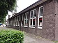
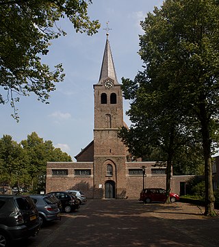
Gemert-Bakel is a municipality in the southern Netherlands.

Mierlo Town in North Brabant, Netherlands

Mierlo is a town in the southern Netherlands, in the municipality of Geldrop-Mierlo, North Brabant. Until 2004, it was a separate municipality with an area of 18.09 km2 (7 sq mi).

Sleen Village in Drenthe, Netherlands

Sleen is a village in Drenthe, Netherlands of about 2,500 people. Sleen has been inhabited for centuries. Much ancient history can be found in the area, particularly in the forests. At birth and during the Republiek der Zeven Verenigde Nederlanden. Sleen became the capital of one of the six “dingspels” of Drenthe. When Drenthe was recognised as a province, Sleen became a municipality capital, before it merged into the municipality of Coevorden.

Heeswijk Village in North Brabant, Netherlands

Heeswijk is a Dutch village. It is located in the province of North Brabant, in the south of the Netherlands.

Oudenbosch Town in North Brabant, Netherlands

Oudenbosch is a town in the municipality of Halderberge in the west of the Dutch province of North Brabant. Oudenbosch is well known for its 'Basiliek', a Catholic church that is a smaller copy of St. Peter's Basilica in Rome.

Gemert Town in North Brabant, Netherlands

Gemert is a town in the Dutch province of North Brabant. It is located in the municipality of Gemert-Bakel.

Andel, Netherlands Village in North Brabant, Netherlands

Andel is a village in the municipality of Altena, North Brabant, in the Netherlands. It is located about 7 km southeast of Gorinchem.

Bakel en Milheeze

Bakel en Milheeze is a former municipality in the Dutch province of North Brabant. It consisted of the villages Bakel, Milheeze, and De Rips. It has been a part of the municipality of Gemert-Bakel since 1997.

Hoeven is a hamlet in the southern Netherlands. It is located in the Dutch province of North Brabant, in the municipality of Gemert-Bakel, about 1 km southeast of Milheeze and about 4 km north of Deurne.

Diessen Village in North Brabant, Netherlands

Diessen is a village in the Dutch province of North Brabant. It is located in the municipality of Hilvarenbeek.

Esch, Netherlands Village in North Brabant, Netherlands

Esch is a village in the Dutch province of North Brabant. It is located in the municipality of Boxtel.

Bakel may refer to:

Riethoven Village in North Brabant, Netherlands

Riethoven is a village in the Dutch province of North Brabant. It is located in the municipality of Bergeijk, about 15 km (9.3 mi) southwest of Eindhoven. The adjacent township of Walik is in general considered to be a part of Riethoven. Riethoven was originally called Rijthoven, but with time it changed into Riethoven. In Dutch The name means: farms at the Rijt, the Rijt being a river near the municipality.

Vlierden Village in North Brabant, Netherlands

Vlierden is a village in the Dutch province of North Brabant. It is located in the municipality of Deurne, about 20 km east of Eindhoven.

Milheeze Village in North Brabant, Netherlands

Milheeze is a village in the Dutch province North Brabant. Milheeze is part of the municipality Gemert-Bakel.

Zaarvlaas is a hamlet in the municipality of Gemert-Bakel, North Brabant province of the Netherlands.

De Rips Village in North Brabant, Netherlands

De Rips is a village east of Helmond and Eindhoven in southern part of the Netherlands. Until the late 1990s it formed the municipality of Bakel and Milheeze alongside Milheeze and Bakel, but in 1997 it was forced to merge with the larger Gemert municipality.
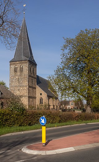
Midden-Groningen Municipality in Groningen, Netherlands

Midden-Groningen is a municipality with a population of 60,953 in the province of Groningen, Netherlands. The municipality was formed by the merger of former municipalities of Hoogezand-Sappemeer, Slochteren and Menterwolde on 1 January 2018 in the context of the municipal redivision in the province of Groningen 2013-2018.

Land van Cuijk Municipality in North Brabant, Netherlands

Land van Cuijk is a municipality in the province of North Brabant, the Netherlands, formed from the merger of Boxmeer, Cuijk, Sint Anthonis, Mill en Sint Hubert and Grave. The municipality came into existence on 1 January 2022. It belongs to the region of De Peel.

Hooge Zwaluwe Village in North Brabant, Netherlands

Hooge Zwaluwe is a village in the Dutch province of North Brabant. It is located in the municipality of Drimmelen, about 3.5 km north-west of Made.

References

  1. 1 2 3 "Kerncijfers wijken en buurten 2021". Central Bureau of Statistics. Retrieved 16 April 2022.
  2. "Postcodetool for 5761AA". Actueel Hoogtebestand Nederland (in Dutch). Het Waterschapshuis. Retrieved 16 April 2022.
  3. 1 2 "Bakel". Plaatsengids (in Dutch). Retrieved 16 April 2022.
  4. "Bakel - (geografische naam)". Etymologiebank (in Dutch). Retrieved 16 April 2022.
  5. Chris Kolman & Ronald Stenvert (1997). Bakel (in Dutch). Zwolle: Waanders. ISBN   90 400 9945 6 . Retrieved 16 April 2022.