Barlow, Ohio

Last updated

Location of Barlow, Ohio OHMap-doton-Barlow.png
Location of Barlow, Ohio

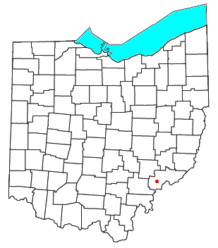
Barlow is an unincorporated community in western Barlow Township, Washington County, Ohio, United States. [1] Although it is unincorporated, it has a ZIP code 45712. [2] It lies at the intersection of State Routes 339 and 550 near the South Fork of Wolf Creek, which meets the Muskingum River at Waterford to the north. [3]

Contents

History

Barlow was platted in 1840. [4]

Education

Barlow has a public library, a branch of the Washington County Public Library. [5]

References

  1. U.S. Geological Survey Geographic Names Information System: Barlow, Ohio
  2. Zip Code Lookup Archived October 8, 2007, at the Wayback Machine
  3. DeLorme, Ohio Atlas & Gazetteer, 7th ed., 2004, pp. 71, 81, ISBN   0-89933-281-1
  4. History of Washington County, Ohio: With Illustrations and Biographical Sketches. H.Z. Williams. 1881. p. 718.
  5. "Hours & Locations". Washington County Public Library. Archived from the original on March 3, 2018. Retrieved March 3, 2018.

39°23′55″N81°39′53″W / 39.39861°N 81.66472°W / 39.39861; -81.66472