
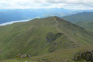
Ben Lui is a mountain in the southern Highlands of Scotland, at the head of Glen Fyne. It has five well-defined ridges radiating out from the summit. Four corries lie between the ridges; including Coire Gaothaich which lies on the northeast side of the mountain.

Beinn Ìme is the highest mountain in the Arrochar Alps, in the Southern Highlands of Scotland. There are three usual routes of ascent. From Succoth, one may follow the same path that is used to reach The Cobbler before taking the right fork near the base of the Cobbler's main crags and continuing up the glen, across the bealach and up Ben Ìme's eastern ridge. Alternatively, the summit can be reached from the pass of Rest and be Thankful and from the Loch Lomond side, using the private road that leads to Loch Sloy. Beinn Ìme separates the Dunbartonshire landscape of Loch Lomond in the East and the Argyll Highlands of Loch Fyne and Loch Goil anywhere north, west, south west. Beinn Ìme is the landmark to the entrance to Argyll.
Beinn Ghlas is a mountain in the Southern Highlands of Scotland. It lies on the north shore of Loch Tay and is part of the Ben Lawers Range. It lies on the popular path to Ben Lawers from the National Trust for Scotland car park, with the result that many walkers traverse the summit of Beinn Ghlas without realising it. The popularity of the path meant that it suffered from severe erosion, but it has been reconstructed in recent years.

Beinn Mhanach is a mountain situated on the northern side of Loch Lyon and eight kilometres east of Bridge of Orchy, in the west highlands of Scotland.
Beinn Odhar Bheag is a mountain in the Northwest Highlands, Scotland, south of the village of Glenfinnan in Moidart, Lochaber.

Beinn Lair is a mountain in the Northwest Highlands, Scotland. It lies in the Letterewe estate on the northeastern shore of Loch Maree in Wester Ross.

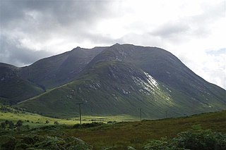
Beinn a' Chlachair is a mountain in the Grampian Mountains of Scotland. It lies north of Loch Laggan, near the remote hamlet of Kinloch Laggan.

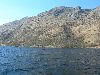
Beinn Bhuidhe (855m) is a mountain in the Northwest Highlands of Scotland. It lies in a very remote area of Knoydart, Lochaber.

Beinn Airigh Charr is a mountain in the Northwest Highlands of Scotland. It lies in Wester Ross, on the northern side of Loch Maree, near to the village of Poolewe.

Beinn Dearg is a mountain in the Grampian Mountains of Scotland. It lies north of the village of Blair Atholl in Perthshire.

Beinn nan Aighenan is a mountain in the Grampian Mountains of Scotland. It lies in Argyll and Bute, north of the village of Taynuilt.

Beinn Leoid is a mountain in the Northwest Highlands of Scotland. It lies in Sutherland, east of the village of Kylesku.

Beinn Talaidh is a peak on the Isle of Mull, Scotland, located in the mountainous centre of the Island.

Beinn Enaiglair is a mountain in Wester Ross, Scotland. It lies in the Northwest Highlands.

Creach-Beinn is a mountain in the south of the Isle of Mull, Scotland. It rises above the northern shore of Loch Spelve.

Beinn Iutharn Mhor is a mountain in the Grampian Mountains of Scotland. It lies north of Glen Shee on the Aberdeenshire and Perthshire border.

Beinn a' Chochuill is a mountain in the Grampian Mountains of Scotland, located east of Loch Etive in Argyll and Bute.

Beinn Mhic-Mhonaidh is a mountain in the Grampian Mountains of Scotland, west of Glen Orchy in Argyll and Bute.
Beinn Mhic Chasgaig is a mountain in the Grampian Mountains of Scotland. It lies near the head of Glen Etive in Highland.

Beinn Bharrain is a mountain on the Isle of Arran, Scotland, located in the far northwest of the Island.
