There are four villages in the Birami gram Panchayat: Birami, Birdawas, Miyasani, and Peethasani.[4] Indian cricketer Ravi Bishnoi also belong to this village.
Geography
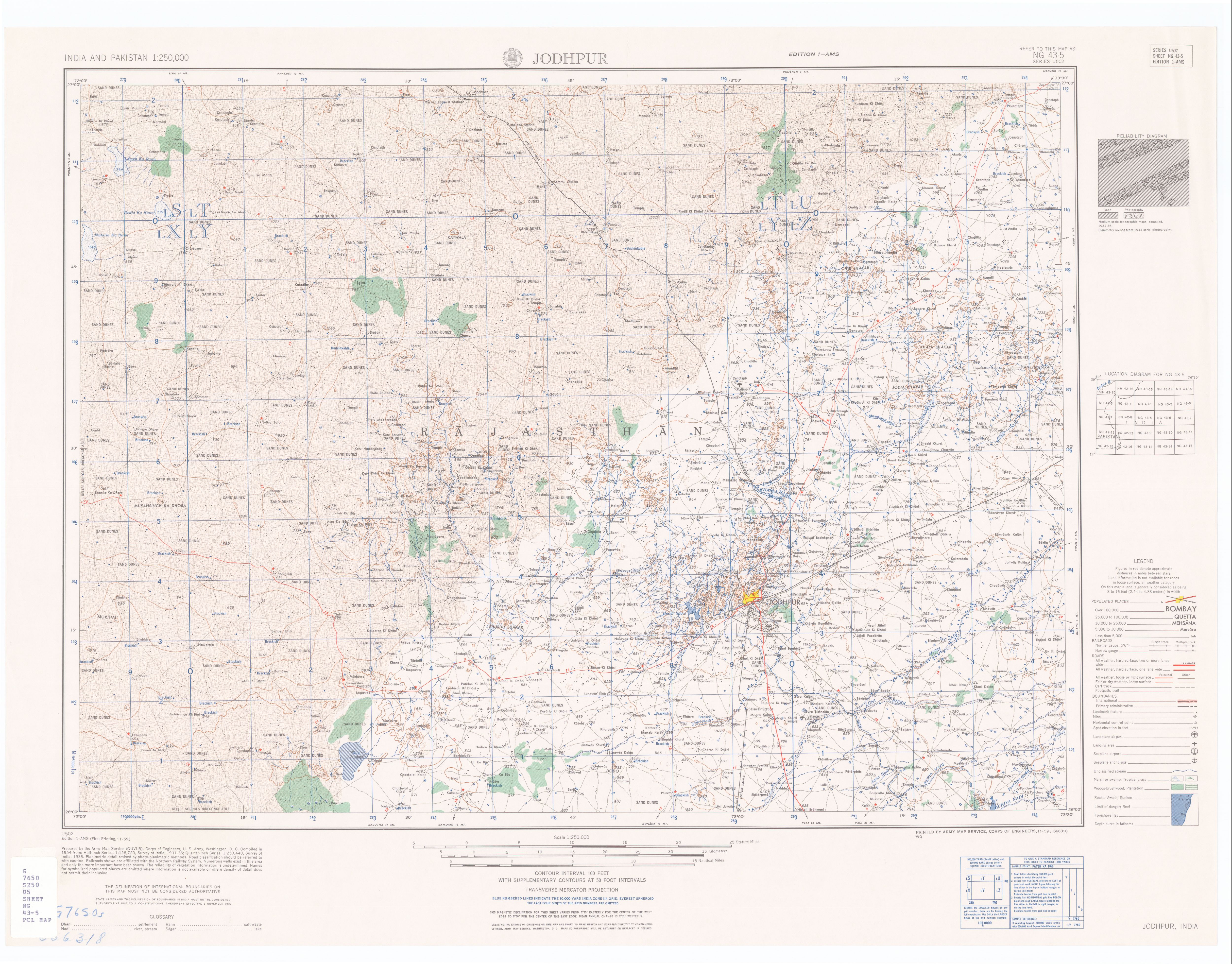
The village of Birami is 32km by road southeast of the city of Jodhpur, located between the Mitri River to the north, and the Luni River to the south, just 4km upstream (east) of the confluence of the two rivers.[2] As the village is at the eastern edge of the Thar Desert, the rivers only run in monsoon season.[5] The nearest railway station is at Tanawara, 30km by road to the west.
Demographics
In the 2001 census, the village of Birami had 1,790 inhabitants, with 944 males (52.7%) and 846 females (47.3%), for a gender ratio of 896 females per thousand males.[6]
Points of interest
The temple of Bhuwal mata is located in Birami village.[7]
↑ Almost 80% of the total annual rainfall is received during the southwest monsoon, which enters the district in the first week of July and withdraws in the middle of September."Groundwater Scenario; Jodhpur District, Rajasthan"(PDF). Central Ground Water Board, Ministry of Water Resources, Government of India. p.1. Archived(PDF) from the original on 15 May 2012.
This page is based on this Wikipedia article Text is available under the CC BY-SA 4.0 license; additional terms may apply. Images, videos and audio are available under their respective licenses.

