Jaliwada

Last updated

Jaliwara Khurd or Jaliwada Khurd

Jhaliwara
Jaliwada
village
India Rajasthan location map.svg
Red pog.svg
Jaliwara Khurd or Jaliwada Khurd
Location in Rajasthan, India
India location map.svg
Red pog.svg
Jaliwara Khurd or Jaliwada Khurd
Jaliwara Khurd or Jaliwada Khurd (India)
Coordinates: 26°24′47″N73°35′58″E / 26.41306°N 73.59944°E / 26.41306; 73.59944 Coordinates: 26°24′47″N73°35′58″E / 26.41306°N 73.59944°E / 26.41306; 73.59944
CountryFlag of India.svg  India
State Rajasthan
District Jodhpur
Tehsil Bilara
Population
 (2001)
  Total1,092
Time zone UTC+5:30 (IST)
ISO 3166 code RJ-IN
Climate Dry (Köppen: BSh)
Lok Sabha constituency Pali
Vidhan Sabha constituency Bilara SC

Jaliwara Khurd or Jaliwada is a village in Rajasthan, India. Administratively, it is under Nanan gram panchayat, Bilara tehsil, Jodhpur district, Rajastha. [1]

Rajasthan State in India

Rajasthan is a state in northern India. The state covers an area of 342,239 square kilometres (132,139 sq mi) or 10.4 percent of the total geographical area of India. It is the largest Indian state by area and the seventh largest by population. Rajasthan is located on the northwestern side of India, where it comprises most of the wide and inhospitable Thar Desert and shares a border with the Pakistani provinces of Punjab to the northwest and Sindh to the west, along the Sutlej-Indus river valley. Elsewhere it is bordered by five other Indian states: Punjab to the north; Haryana and Uttar Pradesh to the northeast; Madhya Pradesh to the southeast; and Gujarat to the southwest.

A gram panchayat or village panchayat is the only grassroots-level of panchayati raj formalised local self-governance system in India at the village or small-town level, and has a sarpanch as its elected head.

Bilara tehsil tehsil in Rajasthan, India

Bilara tehsil is a tehsil in Jodhpur District of Rajasthan state in western India. The tehsil headquarters are in the town of Bilara.

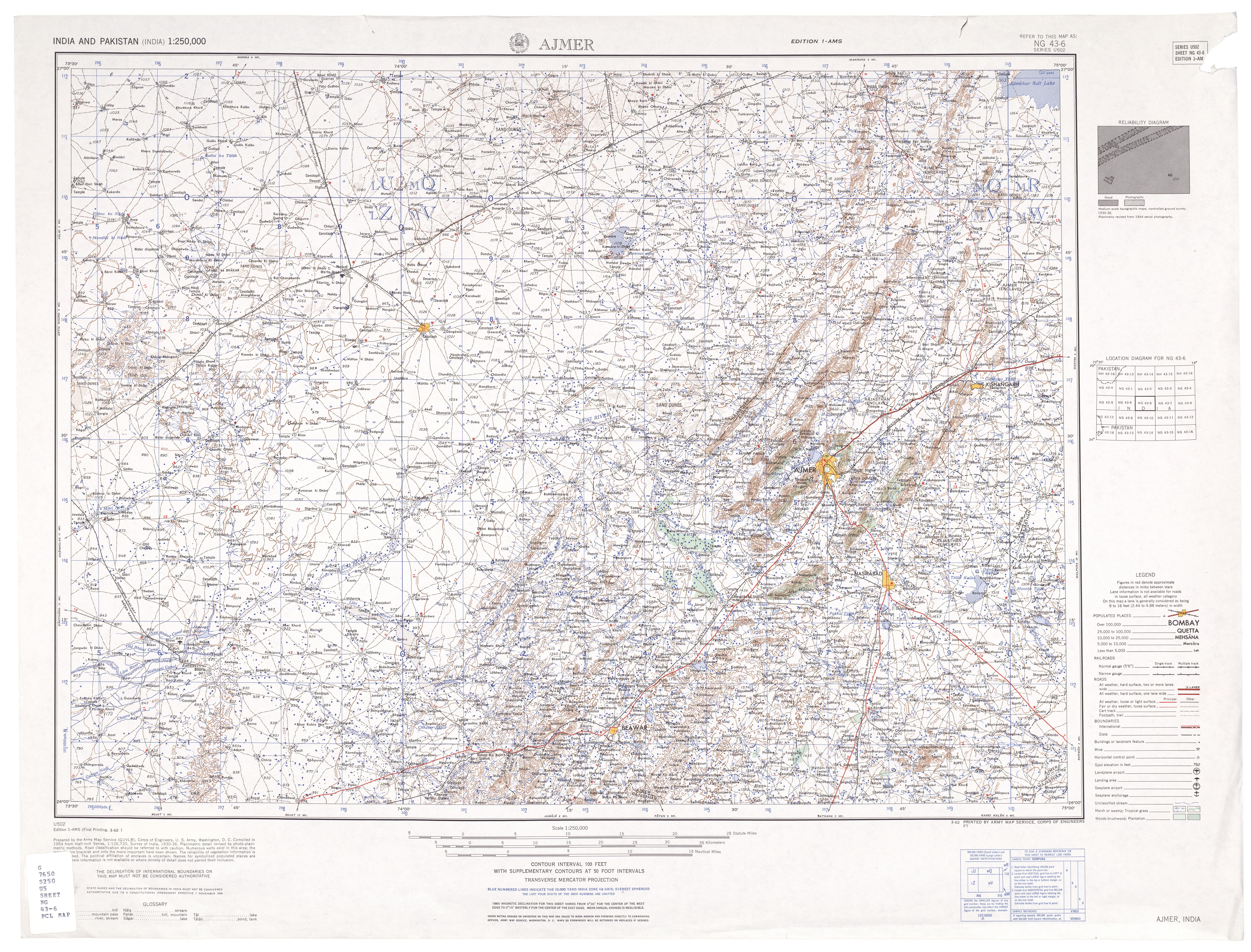
It is 8 km by road northeast of Piparcity on the Jodhpur-Merta road. It is on the left (southeast) bank of the Mitri River, an intermittent stream and tributary of the Luni River. [2]

Piparcity is a town and a municipality in Jodhpur district in the Indian state of Rajasthan. It is located on Jodhpur - Merta City state highway. It has a government women's college - Smt. Sita Dewi Chunni Lal Bardiya Mahila Mahavidyalay, three senior secondary level government schools along with other private colleges and schools.

In 2011, it came into limelight, when the nurse Bhanwari Devi was kidnapped there, leading to a political scandal. [3]

Demographics

In the 2001 census, the village of Jaliwara Khurd had 1,092 inhabitants, with 572 males (52.4%) and 520 females (47.6%), for a gender ratio of 909 females per thousand males. [4]

Related Research Articles

Luna is a village in Rajasthan, India, famous as the birthplace of Mehdi HassanCitation needed. It is a panchayat village in AlsisarTehseel of Jhunjhunu District.

Jodhpur district District of Rajasthan in India

Jodhpur District is a district in the State of Rajasthan in western India. The city of Jodhpur is the administrative headquarters of the district.

Lordi Daijagra village in Rajasthan, India

Lordi Daijagra is a panchayat village in Rajasthan, India. Administratively, it is under Mandor Taluka, Jodhpur District of Rajasthan. Lordi Daijagra is 26 km by road west of the city of Jodhpur on National Highway 114.

Bhopalgarh town in Rajasthan, India

Bhopalgarh is a town located in the Jodhpur District of Rajasthan state in western India. It is a panchayat village and headquarters of the Bhopalgarh tehsil.

Birami village in Rajasthan, India

Birami is a panchayat village in Rajasthan, India, on the right (north) bank of the Luni River. Administratively, it is under Luni Taluka, Jodhpur district, Rajasthan.

Balesar town in Rajasthan, India

Balesar Satan is village in Jodhpur district, Rajasthan, India. It is a panchayat village and headquarters of the Balesar tehsil.

Shaitrawa village in Rajasthan, India

Setrawa (Shaitrawa) is the princely state of RATHORE Rajputs. It dates back to 14th century. Jodha, the founder of Jodhpur has roots from Setrawa. panchayat village in Shergarh Tehsil, Jodhpur District, Rajasthan, western India. It is known for its Warriors and it is a nursery for the Indian Army and the BSF.

Kanodia Purohitan village in Rajasthan, India

Kanodia Purohitan is a panchayat village in the Indian state of Rajasthan. It is situated on Jaisalmer Highway (NH-125), 120 km from Jodhpur.

Balesar Durgawatan town in Rajasthan, India

Balesar Durgawatan is a panchayat village in the state of Rajasthan, India, Administratively, Balesar Durgawatan is under Balesar tehsil of Jodhpur District in Rajasthan.

Baori, Bawadi town in Rajasthan, India

Baori is a panchayat village in the state of Rajasthan, India, Baori is the headquarters town for Bawadi tehsil of Jodhpur District in Rajasthan. Baori is the only village in the gram panchayat.

Bhopalgarh tehsil tehsil in Rajasthan, India

Bhopalgarh tehsil is a tehsil in Jodhpur District of Rajasthan state in western India. Headquarters for the tehsil is the town of Bhopalgarh. Bhopalgarh tehsil is an eastern tehsil among the 13 tehsils in Jodhpur District. It borders Nagaur District to the north and east, Pipar city tehsil to the south, Jodhpur tehsil to the southwest, and Bawadi tehsil to the west. Bhopalgarh panchayat samiti has 35 gram panchayats & 116 villages. The mineral and the stone used for Emery Stone are found in Bhopalgarh. Rabi crops are mainly cultivated in the Bhopalgarh Tehsil with Bajra, Moong, Moth, Sesamum (Til), Jowar and Cotton being the most common crops. Bhopalgarh tehsil has a total area of 174623.74 hectares with total cultivable area of 63.92% of total area & 21.27% of total cultivable area as irrigated area as per land use 2011. Jats are the dominant community in bhopalgarh. There number vary close to one lakh in the entire constituency.

Malar, Bap village in Rajasthan, India

Malar is a panchayat village in the state of Rajasthan, India. Administratively, it is under Bap tehsil of Jodhpur District of Rajasthan.

Kur, Rajasthan village in Rajasthan, India

Kur is a panchayat village in Rajasthan in western India. Administratively, it is under Bhopalgarh tehsil, Jodhpur District of the state of Rajasthan.

Mandor tehsil tehsil in Rajasthan, India

Mandor tehsil is a tehsil in Jodhpur District of Rajasthan state in western India.

Kasti, Rajasthan village in Rajasthan, India

Kasti is a panchayat village in the state of Rajasthan, India. Administratively, Kasti is under Bawadi tehsil of Jodhpur District in Rajasthan. Kasti is 8 km by gravel road east of the village of Netran (Netra) and National Highway 65. It is 8 km by hard-surfaced road southeast of the town of Baori.

Netra, Jodhpur village in Rajasthan, India

Netra is a panchayat village in the state of Rajasthan, India. Administratively, Netra is under Bawadi tehsil of Jodhpur District in Rajasthan. Netra is the only village in its gram panchayat. The village is located on National Highway 65, 8 km by road southwest of the town of Baori, and 37 km by road north-northeast of the city of Jodhpur.

Netra, Pali village in Rajasthan, India

Netra is a panchayat village in the state of Rajasthan, India. Administratively, Netra is under Sumerpur Tahsil of Pali District in Rajasthan. The village of Netra is located on National Highway 14, 8 km by road northeast of the town of Sumerpur, and 65 km by road south-southwest of the city of Pali.

Sopra, Bhopalgarh village in Rajasthan, India

Sopra is a village located in the Bhopalgarh tehsil of Jodhpur District, Rajasthan, India.

References

  1. 2011 Census Village code for Jaliwara Khurd = 085711, "Reports of National Panchayat Directory: List of Census Villages mapped for: Nanan, Bilara, Jodhpur, Rajasthan". Ministry of Panchayati Raj, Government of India. Archived from the original on 20 May 2013.
  2. Ajmer, India, Sheet NG 43-06 (topographic map, scale 1:250,000), Series U-502, United States Army Map Service, March 1962
  3. "Bhanwari case: CBI grills former Rajasthan minister". The Hindu . 10 November 2011. Archived from the original on 12 November 2011.
  4. "Census 2001 Population Finder: Rajasthan: Jodhpur: Bilara: Jaliwara Khurd". Office of The Registrar General & Census Commissioner, Ministry of Home Affairs, Government of India. Archived from the original on 21 May 2013.