
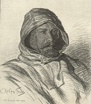
Ludvig Mylius-Erichsen was a Danish author, ethnologist, and explorer, from Ringkøbing. He was most notably an explorer of Greenland.

Danmark Fjord, also known as Denmark Sound, is a fjord in northeast Greenland. Administratively it belongs to the Northeast Greenland National Park.

Peary Land is a peninsula in northern Greenland, extending into the Arctic Ocean. It reaches from Victoria Fjord in the west to Independence Fjord in the south and southeast, and to the Arctic Ocean in the north, with Cape Morris Jesup, the northernmost point of Greenland's mainland, and Cape Bridgman in the northeast.
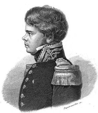
Johan Peter Koch was a Danish captain and explorer of the Arctic dependencies of Denmark, born at Vestenskov. He was the uncle of the geologist Lauge Koch
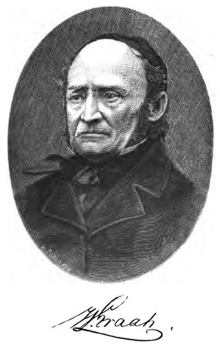
Wilhelm August Graah (1793–1863) was a Danish naval officer and Arctic explorer. Graah had mapped areas of West Greenland when he, in 1828–30, was sent by King Frederick VI of Denmark on an expedition to the unmapped eastern coast with the purpose to search for the lost Eastern Norse Settlement.
Jules Poret de Blosseville was a French naval officer, geographer and explorer. Born in 1802, he joined the French Navy at the age of 16. From 1822 to 1825, he participated in an expedition that explored the South Pacific and, by its conclusion, circumnavigated the world. He disappeared in August 1833, while in command of his own expedition to the Arctic.

Vice Admiral Sir Georg Carl Amdrup, RN was a Danish naval officer, Vice Admiral and Greenland researcher.

Bernstorff Fjord is a fjord in King Frederick VI Coast, eastern Greenland.

Kangerlussuaq Fjord is a fjord in eastern Greenland. It is part of the Sermersooq municipality.

King Frederick VI Coast is a major geographic division of Greenland. It comprises the coastal area of Southeastern Greenland in Sermersooq and Kujalleq municipalities fronting the Irminger Sea of the North Atlantic Ocean. It is bordered by King Christian IX Land on the north and the Greenland Ice Sheet to the west.
Odinland, also Odinsland in the Defense Mapping Agency Greenland Navigation charts, is a peninsula in the King Frederick VI Coast, southeastern Greenland. It is a part of the Sermersooq municipality.
Tuttilik, also known as Lake Fjord, is a fjord in the municipality of Sermersooq, southeastern Greenland.

The Denmark expedition, also known as the Denmark Expedition to Greenland's Northeast Coast and the Danmark Expedition after the ship's name, was an expedition to northeastern Greenland in 1906–1908.
Cape Walløe, also known as Kangeq and Kangerssiuasik, is a headland in the North Atlantic Ocean, southeast Greenland, Kujalleq municipality.

The Lilloise Range or Lilloise Mountains is a mountain range in King Christian IX Land, eastern Greenland. Administratively this range is part of the Sermersooq Municipality.
Segelsällskapet Fjord is a fjord in King Christian X Land, eastern Greenland.

Carlsberg Fjord is a fjord in King Christian X Land, eastern Greenland.
Fleming Fjord is a fjord in King Christian X Land, eastern Greenland.

Torgilsbu was a Norwegian hunting, meteorological and radio station located on the King Frederick VI Coast, Southeastern Greenland.
The Wiedemann Range is a mountain range in King Christian IX Land, eastern Greenland. Administratively this range is part of the Sermersooq Municipality.


