| Brestovčina | |
|---|---|
| Suburban settlement | |
 Brestovčina | |
| Coordinates: 45°07′43″N17°16′31″E / 45.12861°N 17.27528°E | |
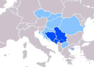
| Country | Bosnia and Herzegovina |
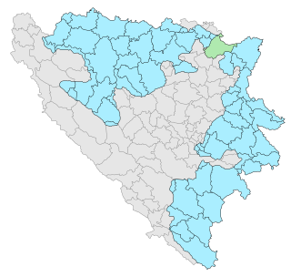
| Entity | Republika Srpska |
| Municipality | Gradiška |
| Time zone | CET (UTC+1) |
| • Summer (DST) | CEST (UTC+2) |
Brestovčina (Serbian : Брестовчина) is a suburban settlement in the municipality of Gradiška, Republika Srpska, Bosnia and Herzegovina. [1]
Serbian is the standardized variety of the Serbo-Croatian language mainly used by Serbs. It is the official language of Serbia, the territory of Kosovo, and one of the three official languages of Bosnia and Herzegovina. In addition, it is a recognized minority language in Montenegro where it is spoken by the relative majority of the population, as well as in Croatia, North Macedonia, Romania, Hungary, Slovakia, and the Czech Republic.
Under the "Law on Territorial Organization and Local Self-Government" adopted in 1994, Republika Srpska was divided into 80 municipalities. After the conclusion of the Dayton Peace Agreement, the law was amended in 1996 to reflect the changes to the entity's borders and now provides for the division of Republika Srpska into 64 municipalities.

Gradiška is a city and municipality located in northwestern Republika Srpska, an entity of Bosnia and Herzegovina. As of 2013, it has a population of 51,727 inhabitants.


