Chuquisaca is a department of Bolivia located in the center south. It borders on the departments of Cochabamba, Tarija, Potosí, and Santa Cruz. The departmental capital is Sucre, which is also the constitutional capital of Bolivia.
Pilcomayo is a river in central South America. At 1,100 kilometres (680 mi) long, it is the longest western tributary of the Paraguay River. Its drainage basin is 270,000 square kilometres (100,000 sq mi) in area, and its mean discharge is 200 cubic metres per second (7,100 cu ft/s).

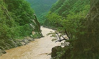
The Bermejo River is a river in South America that flows from Bolivia to the Paraguay River in Argentina. The river is generally called Bermejo in spite of its different names along its way, but it also has its own Native American names; in Wichí it is called Teuco, and in Guaraní it is called Ypitá. In the plains of Argentina's Gran Chaco the Bermejo forms wetlands and splits into two branches. The southern branch is the bed of the old Bermejo River, now an intermittent stream called Río Bermejito. The northern branch is now the main stem of the Bermejo and is called the Teuco River, Bermejo Nuevo, or simply the Bermejo River. The two branches rejoin at 25°39′S60°11′W, near Villa Río Bermejito, forming the Lower Bermejo River.

Caranavi Province is one of the twenty provinces of the Bolivian La Paz Department and is situated in the department's eastern parts. The province was created by Law 1401 on 16 December 1992 from a portion of what was then Nor Yungas Province. The creation of the province had been a local cause embraced by Ramiro Revuelta, a Deputy in the national legislature who was assassinated on November 28, 1992.

Eliodoro Camacho is a province in the La Paz Department in Bolivia situated at Lake Titicaca. Its seat is Puerto Acosta.

Omasuyos or Uma Suyu is a province in the La Paz Department in Bolivia. Its capital is Achacachi.

Enrique Baldivieso is a province in the Bolivian department of Potosí. It is named after the former vice president Enrique Baldivieso. Its seat is San Agustín with a population of 533 during the census of 2001 situated on the bank of the Turuncha River in San Agustín Canton.

Gran Chaco is a province in the eastern parts of the Bolivian department Tarija. The province voted to become an autonomous region on 6 December 2009.

Mamoré is a province in the Beni Department, Bolivia. Its towns include San Ignacio, Mamoré.
Padcaya is a town in the Tarija Department in southeastern Bolivia.
Uriondo is a town in the Bolivian Tarija Department.

Obispo Santistevan is one of the fifteen provinces of the Bolivian Santa Cruz department and is situated in the department's western parts. The province was founded on 2 December 1941, and its name honors Obispo Santistevan (1843–1931), famous supporter of the building of Santa Cruz Cathedral.

Ichilo is one of the fifteen provinces of the Bolivian Santa Cruz Department and is situated in the department's north-western parts. The province was founded by a decree of 8 April 1926 and is named after Río Ichilo which is forming the province border in the West.
The Itaú River is a river of Argentina and Bolivia. It is a tributary of the Río Grande de Tarija.

Escoma is a location in the La Paz Department in Bolivia. It is the seat of the Escoma Municipality, one of five municipalities of the Eliodoro Camacho Province. In 2009 Escoma had an estimated population of 712.
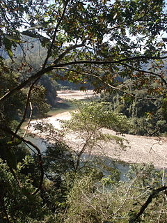
The Guadalquivir River is a river in Bolivia. It is a tributary of the Río Grande de Tarija, which flows into the Bermejo River and the Paraguay River. The river flows by the city of Tarija.
Renard Glacier is a glacier flowing into the southernmost part of Charlotte Bay, on the west coast of Graham Land. Charted by the Belgian Antarctic Expedition under Gerlache, 1897-99. Named by the United Kingdom Antarctic Place-Names Committee (UK-APC) in 1960 for Charles Renard (1847–1905), who, with A.C. Krebs, constructed and flew the first dirigible airship capable of steady flight under control, in 1884.