| Canto do Buriti | |||
|---|---|---|---|
| Municipality | |||
| |||
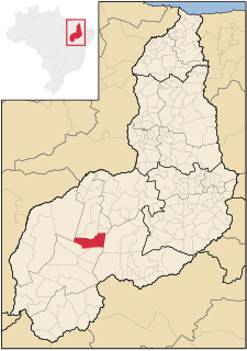
 Location in Piauí | |||
| Country | |||
| Region | Nordeste | ||
| State | Piauí | ||
| Mesoregion | Sudoeste Piauiense | ||
| Time zone | UTC -3 | ||


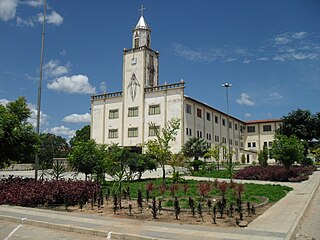
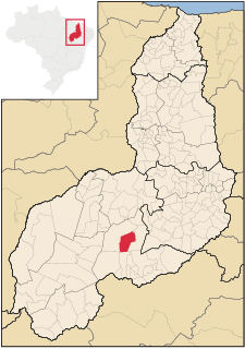
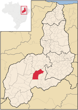
Canto do Buriti is a municipality in the state of Piauí in the Northeast region of Brazil. [1] [2] [3] [4]

The municipalities of Brazil are administrative divisions of the Brazilian states. At present, Brazil has 5,570 municipalities, making the average municipality population 34,361. The average state in Brazil has 214 municipalities. Roraima is the least subdivided state, with 15 municipalities, while Minas Gerais is the most subdivided state, with 853.

The Federative Republic of Brazil is a union of 27 federated units : 26 states and one federal district. The states are generally based on historical, conventional borders which have developed over time. The Federal District cannot be divided into municipalities, according to the Brazilian Constitution, the Federal District assumes the same constitutional and legal powers, attributions and obligations of the states and municipalities, instead, it is divided by administrative regions.

Piauí is one of the states of Brazil, located in the country's Northeast Region.
The municipality contains part of the 823,843 hectares (2,035,760 acres) Serra das Confusões National Park, created in 1998, which protects an area of the Caatinga biome. [5] The municipality is in the Capivara-Confusões Ecological Corridor, created in 2006 to link the Serra da Capivara National Park to the Serra das Confusões National Park. [6]

The Serra das Confusões National Park is a national park in the state of Piauí, Brazil.

Caatinga is a type of desert vegetation, and an ecoregion characterized by this vegetation in interior northeastern Brazil. The name "Caatinga" is a Tupi word meaning "white forest" or "white vegetation".

The Capivara-Confusões Ecological Corridor is an ecological corridor in the caatinga biome of the state of Piauí in northeast Brazil.