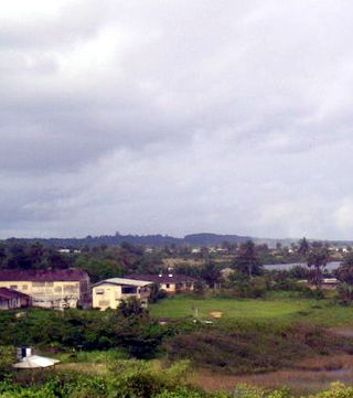
Monrovia is the capital and largest city of Liberia. Founded in 1822, it is located on Cape Mesurado on the Atlantic coast and as of the 2022 census had 1,761,032 residents, home to 33.5% of Liberia’s total population. Its Metro Area including Montserrado and Margibi counties largely being urbanized, was home to 2,225,911 inhabitants as of the 2022 census. As the nation's primate city, Monrovia is the country's economic, financial and cultural center; its economy is primarily centered on its harbor and its role as the seat of Liberian government.

The Pepper Coast or Grain Coast was a coastal area of western Africa, between Cape Mesurado and Cape Palmas. It encloses the present republic of Liberia. The name was given by European traders.

Harper, situated on Cape Palmas, is the capital of Maryland County in Liberia. It is a coastal town situated between the Atlantic Ocean and the Hoffman River. Harper is Liberia's 11th largest town, with a population of 17,837.

Cape Palmas is a headland on the extreme southeast end of the coast of Liberia, Africa, at the extreme southwest corner of the northern half of the continent. The Cape itself consists of a small, rocky peninsula connected to the mainland by a sandy isthmus. Immediately to the west of the peninsula is the estuary of the Hoffman River. Approximately 21 km (15 mi) further along the coast to the east, the Cavalla River empties into the sea, marking the border between Liberia and the Côte d'Ivoire. It marks the western limit of the Gulf of Guinea, according to the International Hydrographic Organization (IHO).

The Catholic Church in Liberia is part of the worldwide Catholic Church, under the spiritual leadership of the Pope in Rome.
The Diocese of Cape Palmas is a Latin Church ecclesiastical territory or diocese of the Catholic Church in Liberia. Its episcopal see is Cape Palmas. The Diocese of Cape Palmas is a suffragan diocese in the ecclesiastical province of the metropolitan Archdiocese of Monrovia.
Lamco Airport is an airport serving Buchanan, in the Grand Bassa County in Liberia. The runway is 3 kilometres (1.9 mi) south of the city.
Nimba Airport is an airport in Liberia near the triple border of Liberia, Côte d'Ivoire, and Guinea. It serves Yekepa, Sanniquellie, and the Nimba Nature Reserve.

Liberia is divided into fifteen first-level administrative divisions called counties, which, in turn, are subdivided into a total of 90 second-level administrative divisions called districts and further subdivided into third-level administrative divisions called clans.

Boston Jenkins Drayton (1821–1865) was a Liberian politician and Lutheran minister who served as the 3rd Chief Justice of Liberia from 1861 until 1864. He had previously served as the final Governor of the Republic of Maryland from 1855 until its annexation by Liberia on March 18, 1857.
George Daniel Browne was a Liberian Episcopalian bishop.
Achutupo Airport is an airport serving the island town of Achutupo, in the San Blas archipelago of Panama. The runway is located on the mainland, 0.7 kilometres (0.4 mi) southwest of the island and is reached by boat.

Playón Chico Airport is an airport serving Ukupseni, an island in the San Blas Archipelago in the Guna Yala comarca of Panama.
Garachiné Airport is an airport serving the Pacific coastal town of Garachiné, in the Darién Province of Panama.
Mulatupo Airport is an airport serving the Caribbean island town of Mulatupo, in the Guna Yala comarca of Panama.
Ailigandí Airport is an airstrip serving Ailigandí, an island town in the Guna Yala comarca of Panama. The airstrip is onshore, approximately 400 metres (1,312 ft) southeast of Ailigandí island and is reached by boat. There are no roads near the airstrip.
San Miguel Airport is an airport serving San Miguel, a town in the Pearl Islands of Panama. It is just east of the town, on the northern side of Isla del Rey, the largest of the islands.
Tubualá Airport is an airport serving the island town of Tubualá, in the Guna Yala Province of Panama.
Las Piedras Airport is an airport serving the agricultural region southwest of Cañas in Guanacaste Province, Costa Rica. The nearest town is Bebedero, 1.6 kilometres (1 mi) north-northeast.


