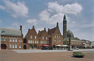
Waalwijk is a municipality and a city in the southern Netherlands. It had a population of 48,815 in 2021 and is located near the A59 and N261 motorways. The villages of Capelle, Vrijhoeve-Capelle, Sprang and Waspik together with the city of Waalwijk form the municipality of Waalwijk. The city has an old town center, which has recently been modernized.

Sprang-Capelle is a former municipality in the North Brabant province of the Netherlands. It was formed in 1923 as a merger of the municipalities of Sprang, Vrijhoeve-Capelle and 's Grevelduin-Capelle. Therefore Sprang-Capelle consists of three villages: 's Grevelduin-Capelle, Vrijhoeve-Capelle and Sprang. In 1997 the municipality of Sprang-Capelle was added to the municipality of Waalwijk. The amusement park Efteling is located in the neighbourhood of Sprang-Capelle.
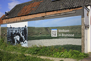
Bruinisse is a village in the south-west of the Netherlands. It is located in the municipality of Schouwen-Duiveland, Zeeland.

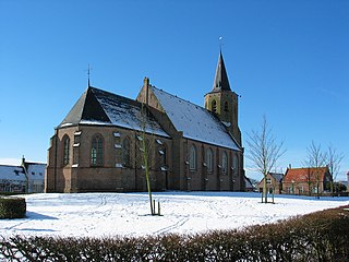
Oosterland is a village in the south-west Netherlands. It is located in the municipality of Schouwen-Duiveland, Zeeland, about 22 km south of Hellevoetsluis.

Kerkwerve is a village in the Dutch province of Zeeland. It is a part of the municipality of Schouwen-Duiveland, and lies about 24 km southwest of Hellevoetsluis.

Ellemeet is a village in the Dutch province of Zeeland. It is a part of the municipality of Schouwen-Duiveland, and lies about 26 km west of Hellevoetsluis.
Noordwelle is a village in the Dutch province of Zeeland. It is a part of the municipality of Schouwen-Duiveland, and lies about 5 km southwest of Scharendijke.

Dussen is a village in the Dutch province of North Brabant. It is a part of the municipality of Altena, and is located about 12 km south of Gorinchem. Dussen Castle is located near the village.

Drongelen is a village in the Dutch province of North Brabant. It is located in the municipality of Altena.

Den Dungen is a village in the Dutch province of North Brabant. It is located in the municipality of Sint-Michielsgestel next to the village Maaskantje.

's Gravenmoer is a village in the Dutch province of North Brabant. It is located in the municipality of Dongen, about 3 km north of the town of Dongen. The village has a population of about 2190 inhabitants, including the farmlands to the north of the village.

Halsteren is a town in the Dutch province of North Brabant. It is located in the municipality of Bergen op Zoom, about 1 km north of that city. Halsteren has an old church from the 14th century and a new church, built in 1919. A little village called Polder was located between Halsteren and Tholen in the Middle Ages.

Meeuwen is a village in southern Netherlands. It is located in Altena, North Brabant, about 8 km northwest of Waalwijk.

Nieuw-Vossemeer is a village in the Dutch province of North Brabant. It is located in the municipality of Steenbergen, about 10 km northeast of Bergen op Zoom.

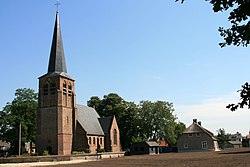
Sprang is a village in the Dutch province of North Brabant. It is located in the municipality of Waalwijk, about 12 km north of Tilburg.

Vrijhoeve-Capelle is a village in the Dutch province of North Brabant. It is located in the municipality of Waalwijk, about 10 km north of Tilburg.

Waspik is a village in the Dutch province of North Brabant. It is located in the municipality of Waalwijk.

Babyloniënbroek is a village in the Dutch province of North Brabant. It is in the municipality of Altena, about 7 km northwest of the city of Waalwijk.

Tilburg railway station is a railway station located in Tilburg in the province of North Brabant, Netherlands. The station was opened on 5 October 1863 and is located on the Breda–Eindhoven railway and Tilburg–Nijmegen railway. The train services are operated by Nederlandse Spoorwegen (NS).

The Lage Zwaluwe-'s-Hertogenbosch railway or Langstraatspoorlijn is a defunct and partially open railway line in North Brabant, Netherlands. It ran through Langstraat from Lage Zwaluwe railway station via Waalwijk to 's-Hertogenbosch railway station. Part of the line had been repurposed for recreation. It has the nickname Halvezolenlijntje. The Moerputten Bridge is a unique example of engineering.