Central District Centra rajons | |
|---|---|
Administrative district of Riga | |
 The Central District of Riga is known for its Art Noveau Architecture | |
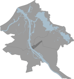 Location in Riga | |
| Country | Latvia |
| City | Riga |
| Area | |
• Total | 3 km2 (1 sq mi) |
| Population (2018) | |
• Total | 25,128 |
| • Density | 8,400/km2 (22,000/sq mi) |
Central District (Latvian : Centra rajons) is one of the six administrative districts of Riga, the capital of Latvia. [1] With an area of 3 km2 and a population of 25,128 inhabitants, it is the smallest and least populated district of the city. The district covers most of central Riga and is made up of the neighbourhoods of Vecrīga (Old Riga) and Centrs (the outer center of the city).