Chiang Mai is the second largest Province (changwat) of Thailand. It lies in upper northern Thailand and has a population of 1.78 million people. It is bordered by Chiang Rai to the northeast, Lampang and Lamphun to the south, Tak to the southwest, Mae Hong Son to the west, and Shan State of Burma to the north. The capital, Chiang Mai, is 685 kilometres (426 mi) north of Bangkok.

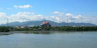
Mueang Chonburi is the capital district of Chonburi province, eastern Thailand.

Mae On is a district (amphoe) of Chiang Mai province in the north of Thailand.

Nong Saeng is a district (amphoe) of Saraburi province, central Thailand.

Fang is a district (amphoe) in the northern part of Chiang Mai province, northern Thailand.

Ban Pho is a district (amphoe) in the western part of Chachoengsao province, central Thailand.

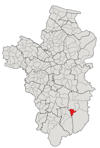
Chai Prakan is a district (amphoe) in the northern part of Chiang Mai province in northern Thailand.

Yang Talat is a district (amphoe) in the western part of Kalasin province, northeastern Thailand.

Singhanavati was a Tai semi-legendary kingdom based along the Kok River in the Chiang Rai Basin in northern Thailand, existed from 691 BCE to 638 CE. It was centered in Yonok Nahaphan and then moved to Vieng Prueksa after the old capital was submerged below Chiang Saen Lake due to an earthquake in 545.
Pong Tam is a tambon (subdistrict) of Chai Prakan District, in Chiang Mai Province, Thailand. In 2016 it had a population of 8,087 people.
Si Dong Yen is a tambon (subdistrict) of Chai Prakan District, in Chiang Mai Province, Thailand. In 2020 it had a total population of 17,553 people.
Mae Thalop is a tambon (subdistrict) of Chai Prakan District, in Chiang Mai Province, Thailand. In 2020 it had a total population of 7,930 people.
Nong Bua is a tambon (subdistrict) of Chai Prakan District, in Chiang Mai Province, Thailand. In 2020 it had a total population of 16,861 people.
Fang, officially Wiang Fang Subdistrict Municipality, is a town in the northern Chiang Mai Province, Thailand, the capital of Fang District. It is 154 kilometres (96 mi) north of Chiang Mai, among the highest mountains in the country.

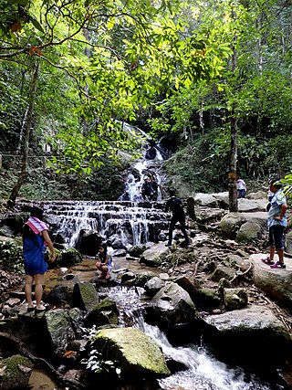
Huai Nam Dang National Park is a national park in Thailand's Mae Hong Son and Chiang Mai Provinces. This mountainous park features scenic mountain viewpoints, waterfalls, and hot springs.

Kho Laen is a tambon (subdistrict) located in the northeastern region of Buntharik district, in Ubon Ratchathani Province, Thailand. In 2021, it had a population of 13,260 people. Neighbouring subdistricts are Phon Ngam, Nong Sano, Ban Maet, and Non Ko, as well as the Champassack district of Laos in the east.

Non Kho is a tambon (subdistrict) located in the western region of Buntharik district, in Ubon Ratchathani Province, Thailand. In 2021, it had a population of 7,022 people. Neighbouring subdistricts are Huai Kha, Sok Saeng, Nong Sano, and Bua Ngam.

Nong Bua is a subdistrict municipality Nong Bua Subdistrict, Chai Prakan District, Chiang Mai Province, Thailand. It is located in the northern part of the province, approximately 135 kilometers north of Chiang Mai city.


