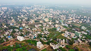
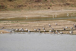
Kommugudem is a village in West Godavari district of the Indian state of Andhra Pradesh. It is located in Tadepalligudem mandal of Eluru revenue division. The nearest train station is Kaikaram (KKRM), located at a distance of 40.26 Km.
Jagannadhapuram is a village in Eluru district of the Indian state of Andhra Pradesh. It is located in Tadepalligudem mandal of Eluru revenue division.

Tangellamudi is a census town in Eluru district of the Indian state of Andhra Pradesh. It is in Eluru mandal of Eluru revenue division. The town is a constituent of Eluru urban agglomeration. The nearest railway station is in Powerpet and is 1.5 km.

Satrampadu is a census town in Eluru district of the Indian state of Andhra Pradesh. It is located in Eluru mandal of Eluru revenue division. The town is a constituent of Eluru urban agglomeration.

Mundur is a village in Eluru district of the Indian state of Andhra Pradesh. It is located in Pedavegi mandal of Eluru revenue division.

Vegiwada is a village in Eluru district of the Indian state of Andhra Pradesh. It is located in Pedavegi mandal of Eluru revenue division.
Koppaka is a village in Eluru district of the Indian state of Andhra Pradesh. It is located in Pedavegi mandal of Eluru revenue division.
Epuru is a village in Eluru district of the Indian state of Andhra Pradesh. It is located in Pedapadu mandal of Eluru revenue division.
Gudigunta is a village in Eluru district of the Indian state of Andhra Pradesh. It is located in Denduluru mandal of Eluru revenue division. The nearest railway station is Ontimitta (VNM) located at a distance of 40.96 km.
Gogunta is a village in Eluru district of the Indian state of Andhra Pradesh. It is located in Pedapadu mandal of Eluru revenue division. Nuzvid railway station is the nearest railway station.
Madepalle is a village in Eluru district of the Indian state of Andhra Pradesh. It is located in Eluru mandal of Eluru revenue division. The town is a constituent of Eluru urban agglomeration.
Malkapuram is a village in Eluru district of the Indian state of Andhra Pradesh. It is located in Eluru mandal of Eluru revenue division. The town is a constituent of Eluru urban agglomeration.
Kokkirapadu is a village in Eluru district of the Indian state of Andhra Pradesh. It is located in Pedapadu mandal of Eluru revenue division. The nearest railway station is at Vatlur (VAT) located at a distance of 4.4 km.
Kothuru is a village in Eluru district of the Indian state of Andhra Pradesh. It is located in Pedapadu mandal of Eluru revenue division.
Nandikeswarapuram is a village in Eluru district of the Indian state of Andhra Pradesh. It is located in Pedapadu mandal of Eluru revenue division.
Rajupeta is a village in Eluru district of the Indian state of Andhra Pradesh. It is located in Pedapadu mandal of Eluru revenue division. The nearest train station is Vinnamangalam (VGM) located at a distance of 20.21 km.
Sakalakothapalle is a village in Eluru district of the Indian state of Andhra Pradesh. It is located in Pedapadu mandal of Eluru revenue division.
Satyavolu is a village in Eluru district of the Indian state of Andhra Pradesh. It is located in Pedapadu mandal of Eluru revenue division.
Tallagudem is a village in Eluru district of the Indian state of Andhra Pradesh. It is located in Pedapadu mandal of Eluru revenue division.
Vempadu is a village in Eluru district of the Indian state of Andhra Pradesh. It is located in kalla mandal of Eluru revenue division.


