Char Silinda

Last updated

Char Silinda
Village
Bangladesh adm location map.svg
Red pog.svg
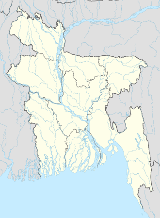
Char Silinda
Location in Bangladesh
Coordinates: 22°55′N90°20′E / 22.917°N 90.333°E / 22.917; 90.333 Coordinates: 22°55′N90°20′E / 22.917°N 90.333°E / 22.917; 90.333
CountryFlag of Bangladesh.svg  Bangladesh
Division Barisal Division
District Barisal District
Time zone UTC+6 (Bangladesh Time)

Char Silinda is a village in Barisal District in the Barisal Division of southern-central Bangladesh. [1] [2]

Related Research Articles

<span class="mw-page-title-main">Barisal Division</span> Division of Bangladesh

Barishal Division is one of the eight administrative divisions of Bangladesh. Located in the south-central part of the country, it has an area of 13,644.85 km2 (5,268.31 sq mi), and a population of 8,325,666 at the 2011 Census. It is the least populous Division within the entirety of Bangladesh. It is bounded by Dhaka Division on the north, the Bay of Bengal on the south, Chittagong Division on the east and Khulna Division on the west. The administrative capital, Barisal city, lies in the Padma River delta on an offshoot of the Arial Khan River. Barisal division is criss-crossed by numerous rivers that earned it the nickname Dhan-Nodi-Khal, Ei tin-e Borishal.

<span class="mw-page-title-main">Barisal District</span> District in Barisal Division, Bangladesh

Barisal District, officially spelled Barishal District from April 2018, is a district in south-central Bangladesh, formerly called Bakerganj district, established in 1797. Its headquarters are in the city of Barisal, which is also the headquarters of Barisal Division.

Char Khanam is a village in Barisal District in the Barisal Division of southern-central Bangladesh.

Char Lakshmipura is a village in Barisal District in the Barisal Division of southern-central Bangladesh.

Char Mahisha is a village in Barisal District in the Barisal Division of southern-central Bangladesh.

Char Padma is a village in Barisal District in the Barisal Division of southern-central Bangladesh.

Char Udaypur is a village in Barisal District in the Barisal Division of southern-central Bangladesh.

Chatra is a village in Barisal District in the Barisal Division of southern-central Bangladesh.

Chaukati is a village in Barisal District in the Barisal Division of southern-central Bangladesh.

Chhankhola is a village in Barisal District in the Barisal Division of southern-central Bangladesh.

Chhatia is a village in Barisal District in the Barisal Division of southern-central Bangladesh.

Chhota Dumuria is a village in Barisal District in the Barisal Division of southern-central Bangladesh.

Chhota Kasba is a village in Barisal District in the Barisal Division of southern-central Bangladesh.

Chhota Lakshmipur is a village in Barisal District in the Barisal Division of southern-central Bangladesh.

Chunar Char is a village in Barisal District in the Barisal Division of southern-central Bangladesh.

Darbeser Kandi is a village in Barisal District in the Barisal Division of southern-central Bangladesh.

Dariabad is a village in Barisal District in the Barisal Division of southern-central Bangladesh.

Debipur is a village in Barisal District in the Barisal Division of southern-central Bangladesh.

Deuli is a village in Barisal District in the Barisal Division of southern-central Bangladesh.

Dingar Hat is a village in Barisal District in the Barisal Division of southern-central Bangladesh.

References

  1. Parisaṃkhyāna Byuro (2005). Bangladesh Population Census, 2001: Barisal. Bangladesh Bureau of Statistics, Planning Division, Ministry of Planning, Govt. of the People's Republic of Bangladesh. Retrieved 18 January 2011.
  2. Geographic Names, National Geospatial-Intelligence Agency, accessed 18 January 2011