Mikkelsen Bay is a bay, 15 nautical miles wide at its mouth and indenting 10 nautical miles, entered between Bertrand Ice Piedmont and Cape Berteaux along the west coast of Graham Land, Antarctica.
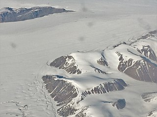
Northeast Glacier is a steep, heavily crevassed glacier, 13 nautical miles long and 5 nautical miles wide at its mouth, which flows from McLeod Hill westward and then south-westwards into Marguerite Bay between the Debenham Islands and Roman Four Promontory, on the west coast of Graham Land, Antarctica.
Lyell Land is a peninsula in King Christian X Land, East Greenland. It is located in the King Oscar Fjord area. Administratively it is part of the Northeast Greenland National Park zone.

Andrée Land is a peninsula in King Christian X Land, East Greenland that is bounded by Kejser Franz Joseph Fjord, Isfjord and Geologfjord.

The Daugaard-Jensen Glacier is a large glacier located on the southeast coast of Greenland.
Hinksland is a peninsula in eastern Greenland. It is a part of the Northeast Greenland National Park.
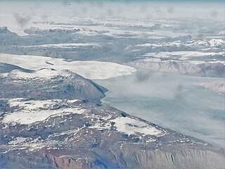
Bredefjord is a fjord in northeastern Greenland. Administratively it is part of the Northeast Greenland National Park zone.

Scoresby Land is an area of Eastern Greenland, which lies partly in Sermersooq and partly in the Northeast Greenland National Park zone. The area is uninhabited, except for Mestersvig, a military outpost.

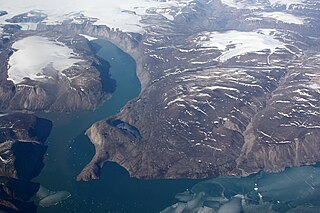
Nordvestfjord, meaning 'Northwest Fjord', is a fjord in King Christian X Land, eastern Greenland.
Th. Sørensen Land is an area in King Christian X Land, Eastern Greenland, part of the inner Scoresby Sound system. Administratively it lies in the Northeast Greenland National Park zone. The area is remote and uninhabited.
Nathorst Land is an area in King Christian X Land, Eastern Greenland. It lies in the Northeast Greenland National Park zone. The area is remote and uninhabited.
Devil Island is an uninhabited island of King Frederick VIII Land, NE Greenland.
Louise Boyd Land is an area in King Christian X Land, Eastern Greenland. Administratively it lies in the Northeast Greenland National Park zone. The area is remote and uninhabited.

Hamberg Glacier is one of the major glaciers in King Christian X Land, Northeast Greenland. Administratively it lies in the Northeast Greenland National Park zone.
Adolf Hoel Glacier, also known as Hoel Glacier(Hoels Gletscher), is one of the major glaciers in King Christian X Land, Northeast Greenland. Administratively it lies in the Northeast Greenland National Park zone.

Nunatak Glacier, also known as Nunatak Glacier, is a glacier in King Christian X Land, Northeast Greenland. Administratively it lies in the Northeast Greenland National Park zone.

The Norlund Alps are a mountain range in King Christian X Land, East Greenland. Administratively these mountains are part of the Northeast Greenland National Park.
Gletscherland, meaning "Glacier Land", is a peninsula in King Christian X Land, East Greenland. Administratively it is part of the Northeast Greenland National Park.
Grandjean Fjord is a fjord in King Christian X Land, East Greenland. Administratively it is part of the Northeast Greenland National Park zone.
Muskox Fjord is a fjord in King Christian X Land, East Greenland. Administratively it lies in the Northeast Greenland National Park area. This fjord is part of the Kaiser Franz Joseph Fjord system.

