This article needs additional citations for verification .(May 2025) |
Chelhar | |
|---|---|
 Chelhar | |
| Coordinates: 24°58′27″N69°55′9″E / 24.97417°N 69.91917°E | |
| Country | |
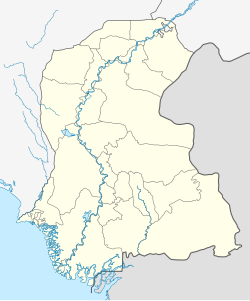
| Province | Sindh |
| Population | |
• Total | 33,000 |
| Time zone | UTC+5 (PST) |
Chelhar is a settlement in the Tharparkar district of Sindh province of southeastern Pakistan. [1]