Cibitoke Province | |
|---|---|
 | |
| Country | |
| Capital | Cibitoke |
| Area | |
| • Total | 1,635.52 km2 (631.48 sq mi) |
| Population (2008 census) | |
| • Total | 460,435 |
| • Density | 280/km2 (730/sq mi) |
Cibitoke Province is one of the 18 provinces of Republic of Burundi. [1]
Cibitoke Province | |
|---|---|
 | |
| Country | |
| Capital | Cibitoke |
| Area | |
| • Total | 1,635.52 km2 (631.48 sq mi) |
| Population (2008 census) | |
| • Total | 460,435 |
| • Density | 280/km2 (730/sq mi) |
Cibitoke Province is one of the 18 provinces of Republic of Burundi. [1]
Cibitoke Province is in the northwest of Burundi. The Democratic Republic of the Congo is to the west and Rwanda is to the north. Bubanza Province is to the south and Kayanza Province is to the east. Cibitoke Province contains part of the Imbo natural region in the west, Mumirwa natural region in the center and Mugamba natural region in the east. [2]
It is divided administratively into the following communes:

Bubanza is one of the 18 provinces of Burundi.

Bujumbura Mairie Province is one of the eighteen provinces of Burundi. It consists entirely of the city of Bujumbura, Burundi's former capital.
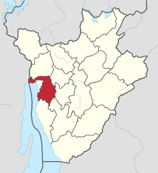
Bujumbura Rural Province is one of the eighteen provinces of Burundi. Former President Cyprien Ntaryamira was born here. It surrounds the former national capital Bujumbura and its provincial capital is Isale.

Bururi Province is one of the eighteen provinces of Burundi. It was formerly Burundi's largest province until the communes of Burambi, Buyengero and Rumonge were transferred to the province of Rumonge when it was created in 2015.
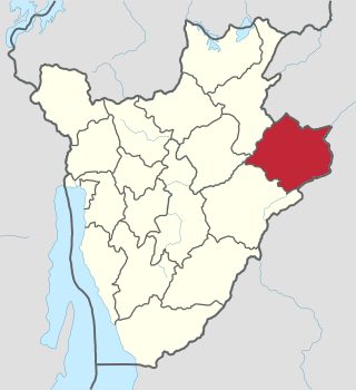
Cankuzo Province is one of the 18 provinces of Burundi. Located in the eastern part of the country, the province covers an area of 1,965 km2. The provincial capital is Cankuzo. It is Burundi's least populated province.
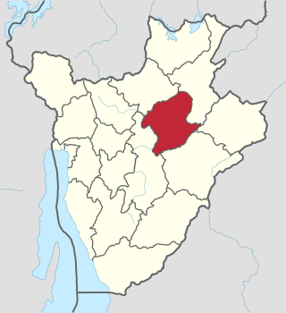
Karuzi Province is one of the 18 provinces of Burundi.
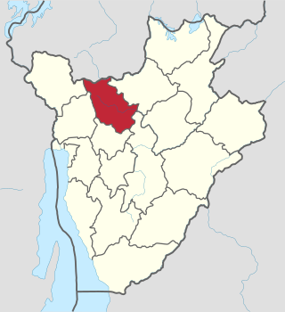
Kayanza Province is one of the 18 provinces of Burundi. Its capital city is also called Kayanza centre.

Kirundo Province is one of the eighteen provinces of Burundi, in north of the country bordering Rwanda. The economy is mostly based on agriculture, with a dispersed population and few sizable communities. Before 1970 large parts of the province were forested. Migrants from the south then cleared much of the vegetation to create agricultural land, and Kirundo became the breadbasket of Burundi. The civil war from 1993 to 2005 caused agricultural output to drop by more than half. Since then, lack of farm inputs, poor infrastructure and shortages of water have caused widespread poverty.
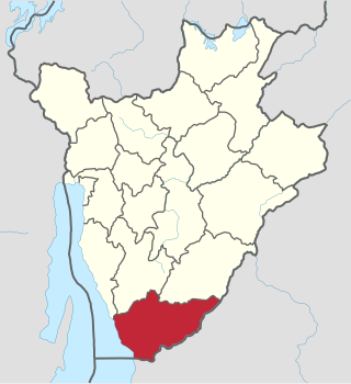
Makamba Province is the southernmost province of Burundi. The province has a population of 430,899 and covers an area of 1,960 km2. The provincial capital is Makamba. Makamba has six communes, many refugees have returned from Tanzania to this province, especially to the communes of Kayogoro, Nyanza lac, Mabanda and Vugizo. This causes a big problem, because there is not enough land for everybody. It is the most fertile province of Burundi.

Muramvya Province is one of the 18 provinces of Burundi. The capital city is Muramvya. In 2007 the province was added to the UNESCO World Heritage Tentative List.

Muyinga Province is one of the 18 provinces of Burundi.
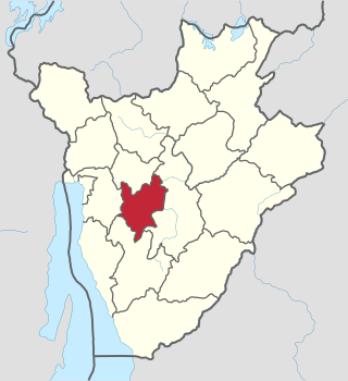
Mwaro Province is one of the 19 provinces of Burundi. Its capital is Mwaro.

Ngozi Province is one of the 18 provinces of Burundi.

Ruyigi Province is one of the 18 provinces of Burundi.

Gitega is one of the 18 provinces of Burundi. Its capital is Gitega, which is also the national capital. It has a population of 725,223 as of 2008 and an area of 1,979 square kilometres (764 sq mi).
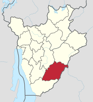
Rutana Province is one of the 18 provinces of Burundi.
Cibitoke is a city located in northwestern Burundi, near the border of Democratic Republic of the Congo. It is the capital of the Cibitoke Province.

The 2019 Burundi landslides were a series of rapidly occurring natural disasters in 2019. On December 4, 2019, less than two months after the October celebration of the International Day for Disaster Risk Reduction (IDDRR), heavy rains precipitated the deadly series of landslides that followed later that night into the next day, affecting a total of 9,935 people in Nyempundu, Gikomero and Rukombe of the northwestern provinces of Cibitoke, bordering Rwanda, and Bubanza as well as the northeastern province of Cankuzo. At least 27 people died and 10 remained missing per the December 11 human toll. Seven injured persons were admitted into Cibitoke referral hospital, six of whom were discharged while the seventh was transferred to the Kigobe hospital managed by Médecins Sans Frontières/Doctors Without Borders-Burundi (MSF-B). Significant property damage was incurred as well, leaving 1,081 people of 206 households displaced.

The Natural regions of Burundi are geographical subdivisions of Burundi that date to colonial times. They can be broadly grouped into the Plain zone in the west beside Lake Tanganyika and the East African Rift valley, the Congo-Nile ridge, the Central Plateaus and the Depressions to the north, east and south of the plateaus.

The Mugamba natural region is a natural region of Burundi. It extends along the ridge that divides the Congo watershed from the Nile watershed, and contains the highest peaks in the country.