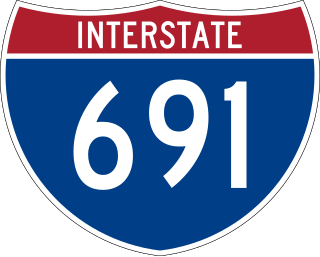
Interstate 691 (I-691) is an auxiliary Interstate Highway in Connecticut running from I-84 in Southington east to I-91 in Meriden. According to the Federal Highway Administration, it is 8.38 miles (13.49 km) in length; however, the Connecticut Department of Transportation (CTDOT) includes the 0.54 miles of the exit ramp that I-691 uses to the merge with westbound I-84, making their recorded length 8.92 miles (14.36 km) long.
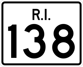
Route 138 is a numbered State Highway running 48.3 miles (77.7 km) in Rhode Island. It is the longest state numbered route in Rhode Island, and the second longest highway after US 1. Route 138 begins in Exeter at the Connecticut state line in the west and runs to the Massachusetts state line in Tiverton in the east, and is the only state-numbered route to completely cross Rhode Island. Route 138 also keeps the same route number on the other side of both state lines.

Connecticut Route 80 is a 25.9 mile highway that runs through south-central Connecticut. The route runs from Interstate 91 (I-91) in Quinnipiac Meadows neighborhood of New Haven east to Route 154 in Deep River. Route 80 runs within 5 miles of many town squares- including Downtown New Haven.

Route 17 is a primary north–south state route beginning in New Haven, through Middletown, and ending in Glastonbury, with a length of 36.33 miles (58.47 km).

Route 9 is a 40.89-mile-long (65.81 km) expressway running from Interstate 95 (I-95) in Old Saybrook north to I-84 in Farmington. It connects the Eastern Coastline of the state along with the Lower Connecticut River Valley to Hartford and the Capital Region.

Route 66 is an east-west state highway running from Meriden to Windham, serving as an alternate east–west route to U.S. Route 6 through east-central Connecticut.

Route 3 is a 14.45-mile-long (23.26 km) route connecting Middletown to Glastonbury. It passes through the towns of Cromwell, Rocky Hill, and Wethersfield. The northernmost 3 miles (4.8 km) of Route 3 is a freeway that was originally intended for the cancelled Interstate 491.

Route 22 is a 14.07-mile-long (22.64 km) secondary state route within the U.S. state of Connecticut. Route 22 is an L-shaped road that is signed east–west from Hamden to the western junction of Route 80 in North Branford, and north–south to its eastern terminus in Guilford. It was designated in 1951 as a bypass of New Haven, connecting the Wilbur Cross Parkway and Route 80.

Route 103 is a state highway in Connecticut running from the Quinnipiac Meadows neighborhood in New Haven, through the Montowese area of North Haven, ending at the town center of North Haven.

Route 77 is a state highway in southern Connecticut. It is a state-designated scenic road and runs from the Guilford town green, through North Guilford, into the town center of Durham.

Route 47 is a Connecticut state highway from US 6 in Woodbury to US 202 in Washington, in the western south-central part of the state. It is 12.27 miles (19.75 km) long and runs roughly northwest-southeast, signed north–south.

Route 99 is a state highway in Connecticut running for 10.64 miles (17.12 km) from Route 9 in Cromwell, through the town of Rocky Hill, ending in Wethersfield at the Hartford city line. The road continues into Hartford as a local road. It follows the former alignment of Route 9 from prior to that route's upgrade to a freeway.

Route 154 is a state highway in Connecticut running for 28.24 miles (45.45 km). It serves as one of the main thoroughfares in the town of Old Saybrook, intersecting twice with U.S. Route 1. North of Interstate 95 (I-95), Route 154 runs parallel to Route 9, along to the west bank of the Connecticut River. The route ends in Higganum at Route 9.

Route 94 is an east–west state highway in Connecticut running for 9.33 miles (15.02 km) from Route 2 in Glastonbury to Route 85 in Hebron.
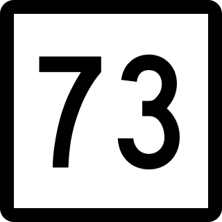
Route 73 is an east–west state highway in Connecticut connecting the town center of Watertown to the Route 8 expressway in Waterbury via the village of Oakville. The road is classified as an urban principal arterial road and carries traffic volumes of about 16,400 vehicles per day.

U.S. Route 5 (US 5), a north–south United States Numbered Highway that is generally paralleled by Interstate 91 (I-91), begins at the city of New Haven in Connecticut and heads north through western Massachusetts and eastern Vermont to the international border with Canada. Within Connecticut, US 5 proceeds north from New Haven and passes through Meriden and Hartford toward Springfield, Massachusetts.

Route 118 is a state highway in northwestern Connecticut, running from the borough of Litchfield via the village of East Litchfield to the town center of Harwinton. Route 118 is a scenic road at both ends. The 2.8-mile (4.5 km) section from the western terminus at the Litchfield green to the village of East Litchfield, and the 0.1-mile (0.16 km) section within the town center of Harwinton have both been designated by the state as scenic roads.
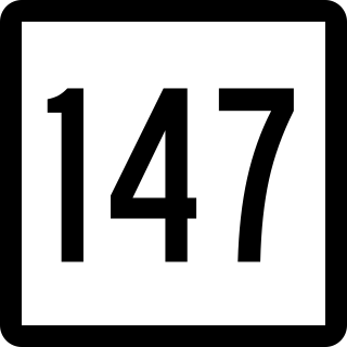
Route 147 is a state highway in central Connecticut running from Durham to Middlefield.
Route 222 is a state highway in west central Connecticut, running in a meandering pattern from Thomaston to Harwinton.

U.S. Route 44 (US 44) is an east–west United States Numbered Highway that runs for 237 miles (381 km) through four states in the Northeastern United States. The western terminus is at US 209 and New York State Route 55 (NY 55) in Kerhonkson, New York, a hamlet in the Hudson Valley region. The eastern terminus is at Route 3A in Plymouth, Massachusetts.

