
Route 34 is a primary state highway in the U.S. state of Connecticut. Route 34 is 21.88 miles (35.21 km) long, and extends from Newtown near I-84 to Route 10 in New Haven. The highways connects the New Haven and Danbury areas via the Lower Naugatuck River Valley. The portion of the route between New Haven and Derby was an early toll road known as the Derby Turnpike. It formerly ran through downtown New Haven on the Oak Street Connector until the early 2020s.

U.S. Route 211 is a spur of US 11 in the U.S. state of Virginia. Known for most of its length as Lee Highway, the U.S. Highway runs 59.09 miles (95.10 km) from Interstate 81 (I-81) and Virginia State Route 211 in New Market east to US 15 Business, US 29 Business, and US 211 Business in Warrenton. US 211 connects the Shenandoah Valley with the Piedmont town of Warrenton via Luray and Sperryville, where the highway runs concurrently with US 340 and US 522, respectively.
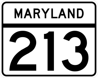
Maryland Route 213 (MD 213) is a 68.25-mile (109.84 km) state highway located on the Eastern Shore of Maryland in the United States. The route runs from MD 662 in Wye Mills, Queen Anne's County, north to the Pennsylvania border near Fair Hill in Cecil County, where the road continues into that state as Pennsylvania Route 841 (PA 841). The route, which is a two-lane undivided highway most of its length, passes through mainly rural areas as well as the towns of Centreville, Chestertown, Galena, Cecilton, Chesapeake City, and Elkton. MD 213 intersects many routes including U.S. Route 50 (US 50) near Wye Mills, US 301 near Centreville, and US 40 in Elkton. It crosses over the Chesapeake & Delaware Canal in Chesapeake City on the Chesapeake City Bridge. MD 213 is designated by the state as the Chesapeake Country Scenic Byway between the southern terminus and Chesapeake City with the portion north of MD 18 in Centreville a National Scenic Byway. In addition, the route is also considered part of the Atlantic to Appalachians Scenic Byway between Chesapeake City and MD 273 in Fair Hill.

New Hampshire Route 12 is a 62.773-mile (101.023 km) long north–south state highway in southwestern New Hampshire. Its southern terminus is at the Massachusetts state line in Fitzwilliam, where it continues south as Massachusetts Route 12. Its northern terminus is at the Vermont state line in Claremont, where it continues north as Vermont Route 12. Most of the northern part of NH 12 runs along the Connecticut River.

State Route 161 is a primary state highway in and near Richmond, Virginia, United States. It extends from an interchange with Interstate 95 (I-95) in the independent city of Richmond north to an intersection with U.S. Route 1 in the Lakeside area of central Henrico County.

Route 85 is a north–south state highway in the east-central portion of the U.S. state of Connecticut linking the city of New London to the town of Bolton.

Route 83 is a 35.65-mile-long (57.37 km) north–south state highway in the Greater Hartford and Greater Springfield areas of the U.S. states of Connecticut and Massachusetts. It serves as the main north–south artery for the towns of Manchester, Vernon, Ellington, and Somers, and continues through East Longmeadow center into downtown Springfield. The route in Massachusetts is town-maintained, except for the ramps connecting to U.S. Route 5 parallel to Interstate 91.

New York State Route 213 (NY 213) is a state highway located entirely in Ulster County. It runs from the eastern Catskills to downtown Kingston.
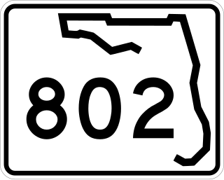
State Road 802 (SR 802) is a major east–west highway serving central Palm Beach County, Florida spanning 10.313 miles (16.597 km). The western terminus of SR 802 is an intersection with U.S. Route 441 (US 441) and SR 7 near Wellington; the eastern terminus is an intersection with Ocean Boulevard (SR A1A) in Lake Worth Beach. State Road 802 is a major commuter highway that is also a primary access road for the beaches of Palm Beach County. The majority of SR 802 is known locally as Lake Worth Road.
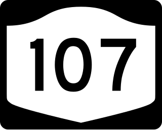
New York State Route 107 (NY 107) is a 17.07-mile (27.47 km) state highway in Nassau County, New York, in the United States. The route begins at an intersection with Merrick Road in Massapequa, serving several communities in the town of Oyster Bay before entering the city of Glen Cove and terminating at an intersection with Pulaski Street. From here, the right-of-way continues west for a short distance as Pratt Boulevard (CR 243) to Brewster Street and Glen Cove Avenue. Route 107 is the only State Highway on Long Island to enter a city other than New York City. The route connects with several major parkways and expressways and has a concurrency with NY 106 through Hicksville and Jericho Gardens; the route is historically known as the Massapequa Glen Cove Highway.
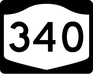
New York State Route 340 (NY 340) is a 3.10-mile (4.99 km) state highway in southeastern Rockland County, New York, in the United States. Though it is signed as an east–west route, it actually follows a north–south alignment. The southern terminus of the route is at the New Jersey state line in Palisades, where it becomes County Route 501 (CR 501). The northern terminus is at an intersection with NY 303 in Orangeburg; however, according to the New York State Department of Transportation (NYSDOT), the route continued for another 0.07 miles (0.11 km) to the northwest of NY 303 until by 2017. NY 340 was assigned to part of its modern routing in the early 1930s and extended to its current length in the early 1940s.

State Trunk Highway 164 is a Wisconsin state highway running from Slinger, around the city of Waukesha, to Waterford.

State Trunk Highway 83 is a state highway in the U.S. state of Wisconsin. It runs north–south in southeast Wisconsin from Hartford to the Illinois border in the village of Salem Lakes.

Route 142 is a state highway in Connecticut that serves as an alternate route of US 1, passing through the village of Short Beach on the Branford shoreline. It starts at US 1 in East Haven and ends at US 1 in Branford, running for 4.27 miles (6.87 km).

State Route 116 is a primary state highway in the U.S. state of Virginia. The state highway runs 20.66 miles (33.25 km) from SR 122 at Burnt Chimney north to SR 101 in Roanoke. SR 116 connects northwestern Franklin County with the southeastern part of Roanoke. The state highway forms a major street through Downtown Roanoke and the city's north side.

Route 71 is a north–south state highway in Connecticut, running from Wallingford to West Hartford. It is the main north–south road of Meriden, Berlin and New Britain.
U.S. Route 250 is a part of the U.S. Highway System that runs from Sandusky, Ohio to Richmond, Virginia. In Virginia, the highway runs 166.74 miles (268.34 km) from the West Virginia state line near Hightown east to its eastern terminus at US 360 in Richmond. US 250 is the main east–west highway of Highland County, which is known as Virginia's Little Switzerland; the highway follows the path of the 19th century Staunton and Parkersburg Turnpike. From Staunton east to Richmond, the highway serves as the local complement to Interstate 64 (I-64), roughly following the 18th century Three Notch'd Road through Waynesboro and Charlottesville on its way through the Shenandoah Valley, its crossing of the Blue Ridge Mountains at Rockfish Gap, and the Piedmont. In the Richmond metropolitan area, US 250 is known as Broad Street, a major thoroughfare through the city's West End and downtown areas.

Maryland Route 565 is a collection of state highways in the U.S. state of Maryland. These highways are sections of old alignment of U.S. Route 213, the predecessor route to US 50, between Trappe and Easton. The two mainline sections of MD 565 run from Trappe to US 50 south of Easton and within the southern part of Easton. MD 565 was assigned to the Trappe–Easton section in the early 1940s when US 213 was moved to a new alignment between Trappe and Peach Blossom Creek in southern Talbot County. MD 565A was designated in the late 1950s in the southern part of Easton and extended north of the downtown area in the mid-1960s. Portions of MD 565 were returned to municipal maintenance in Easton and Trappe in the mid-1980s and late 1990s.

Route 156 is a Connecticut state highway running from East Haddam to Waterford.

Route 177 is a state highway in central Connecticut, running from Plainville to Canton.

