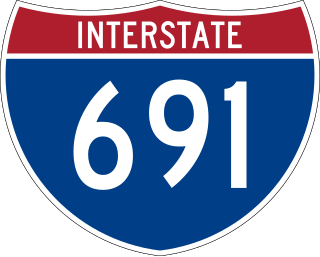
Interstate 691 (I-691) is an auxiliary Interstate Highway in Connecticut running from I-84 in Southington east to I-91 in Meriden. According to the Federal Highway Administration, it is 8.38 miles (13.49 km) in length; however, the Connecticut Department of Transportation (CTDOT) includes the 0.54 miles of the exit ramp that I-691 uses to the merge with westbound I-84, making their recorded length 8.92 miles (14.36 km) long.

The Lower Connecticut River Valley is a region of the state of Connecticut around the juncture where the Connecticut River meets Long Island Sound. It includes towns in Middlesex County and the western edge of New London County. It is located in the southeastern-central part of the state and includes the seventeen towns of Chester, Clinton, Cromwell, Deep River, Durham, East Haddam, East Hampton, Essex, Haddam, Killingworth, Lyme, Middlefield, Middletown, Old Lyme, Old Saybrook, Portland and Westbrook.

Route 15 is a state highway in the U.S. state of Connecticut that runs 83.53 miles (134.43 km) from a connection with New York's Hutchinson River Parkway in Greenwich, Connecticut, to its northern terminus intersecting with Interstate 84 (I-84) in East Hartford, Connecticut. Route 15 consists of four distinct sections: the Merritt Parkway, the Wilbur Cross Parkway, most of the Berlin Turnpike, and part of the Wilbur Cross Highway. The unified designation was applied to these separate highways in 1948 to provide a continuous through route from New York to Massachusetts. The parkway section of Route 15 is often referred to locally as "The Merritt".
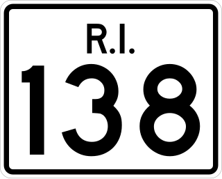
Route 138 is a numbered State Highway running 48.3 miles (77.7 km) in Rhode Island. It is the longest state numbered route in Rhode Island, and the second longest highway after US 1. Route 138 begins in Exeter at the Connecticut state line in the west and runs to the Massachusetts state line in Tiverton in the east, and is the only state-numbered route to completely cross Rhode Island. Route 138 also keeps the same route number on the other side of both state lines.

Route 17 is a primary north–south state route beginning in New Haven, through Middletown, and ending in Glastonbury, with a length of 36.33 miles (58.47 km).

Route 9 is a 40.89-mile-long (65.81 km) expressway running from Interstate 95 (I-95) in Old Saybrook north to I-84 in Farmington. It connects the Eastern Coastline of the state along with the Lower Connecticut River Valley to Hartford and the Capital Region.

Route 66 is an east-west state highway running from Meriden to Windham, serving as an alternate east–west route to U.S. Route 6 through east-central Connecticut.

Route 3 is a 14.45-mile-long (23.26 km) route connecting Middletown to Glastonbury. It passes through the towns of Cromwell, Rocky Hill, and Wethersfield. The northernmost 3 miles (4.8 km) of Route 3 is a freeway that was originally intended for the cancelled Interstate 491.

Route 22 is a 14.07-mile-long (22.64 km) secondary state route within the U.S. state of Connecticut. Route 22 is an L-shaped road that is signed east–west from Hamden to the western junction of Route 80 in North Branford, and north–south to its eastern terminus in Guilford. It was designated in 1951 as a bypass of New Haven, connecting the Wilbur Cross Parkway and Route 80.
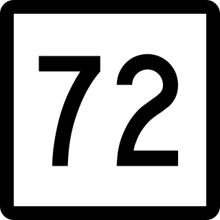
Route 72 is a state highway in the western part of the Greater Hartford area. Route 72 is an L-shaped route with a north–south section in Plymouth and Harwinton and an east–west section from Bristol to New Britain. Route 72 is a freeway from Route 9 in New Britain to Route 372 in Plainville. Although ConnDOT logs it as a north-south route, it is signed as east-west.
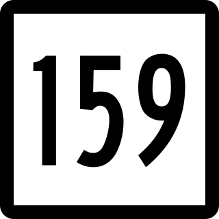
Route 159 is a 21.14-mile-long (34.02 km) state highway connecting the Hartford and Springfield areas in the U.S. states of Connecticut and Massachusetts. It begins at the Hartford–Windsor town line and proceeds northward along the west bank of the Connecticut River towards Agawam, Massachusetts. The route ends at the junction of Route 147 and Route 75 in Agawam center just south of the West Springfield city line. The route was originally designated as U.S. Route 5A in 1932 and was renumbered to its modern designation in October 1968.

Route 169 is a 47.36-mile-long (76.22 km) state highway in the U.S. states of Connecticut and Massachusetts. It begins in the city of Norwich, Connecticut, and runs 38 miles (61 km) through Northeastern Connecticut, continuing across the state line into Southbridge, Massachusetts. The route ends in Charlton after another nine miles (14 km). A portion of the route in the town center of Pomfret is on the National Register of Historic Places as Pomfret Street Historic District, and 32.10 miles (51.66 km) of the road is designated as the Connecticut State Route 169 National Scenic Byway.

Connecticut Route 10 is a state highway that runs from Interstate 95 (I-95) in New Haven Massachusetts state line, where it continues as Massachusetts Route 10, which in turn continues directly to New Hampshire Route 10.
New York State Route 217 (NY 217) is a 6.78-mile (10.91 km) long state highway in Columbia County, New York, in the United States. It connects NY 23 in Claverack-Red Mills and the Taconic State Parkway in Hillsdale, providing a shortcut for drivers heading to and from the Rip Van Winkle Bridge and the Taconic State Parkway northwards of Philmont. The entirety of NY 217 is a rural road with only one lane in each direction separated by a double yellow strip.
Route 147 is a state highway in central Connecticut running from Durham to Middlefield.

Route 187 is a 27.23-mile-long (43.82 km) secondary state route in the U.S. states of Connecticut and Massachusetts. It begins in the city of Hartford at Albany Avenue, travels north through the towns of Bloomfield, Windsor, East Granby and Suffield until the Connecticut-Massachusetts state line. Route 187 continues north across the state line through Agawam into Westfield, where the route ends at US 20 east of Westfield center. Route 187 crosses the Farmington River between the towns of Bloomfield and East Granby.

Route 157 is a state highway in central Connecticut from northwestern Durham, through Middlefield to Middletown.

Route 177 is a state highway in central Connecticut, running from Plainville to Canton.

Route 195 is a state highway in northeastern Connecticut, running from the Willimantic section of Windham to the town center of Tolland via Storrs and Mansfield Center. The road is the main thoroughfare to access the main campus of the University of Connecticut.

Route 372 is a 14.95-mile (24.06 km) state highway in Hartford and Middlesex counties in central Connecticut, United States, running from Plainville to Cromwell, and serving to communicate between the numerous freeways in the area. The section of Route 372 from Route 10 in Plainville to the Plainville-New Britain town line is designated the Joseph E. Tinty Memorial Highway. The section of Route 372 from the interchange with Route 72 in New Britain to the intersection with Route 71A and SR 571 in Berlin is designated the Polish Legion of American Veterans Memorial Highway.


