Municipality of Corinth Δήμος Κορινθίων | |
|---|---|
 Municipality of Corinth Location within the region 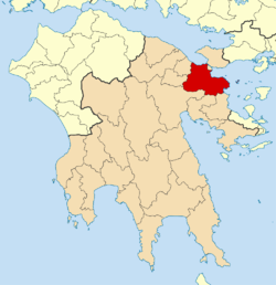 | |
| Coordinates: 37°56′N22°56′E / 37.933°N 22.933°E | |
| Country | Greece |
| Administrative region | Peloponnese |
| Regional unit | Corinthia |
| Municipality established | 2011 (enlarged) |
| Seat | Corinth |
| Government | |
| • Mayor | Nikolaos Stavrelis [1] (since 2023) |
| Area | |
• Municipality | 611.29 km2 (236.02 sq mi) |
| Population (2021) [2] | |
• Municipality | 55,941 |
| • Density | 92/km2 (240/sq mi) |
| Time zone | UTC+2 (EET) |
| • Summer (DST) | UTC+3 (EEST) |
| Website | www |
The municipality of Corinth is a Greek municipality located in the Peleponnese region established on 1 January 2011 under the Kallikratis Plan for local government reform. The municipality is made up of five previous municipalities: Assos-Lechaio, Corinth, Saronikos, Tenea and Solygeia. [3] The area of the new municipality is 611.29 square kilometers [4] and it has a population of 55,641, based on the 2021 census. The seat of the municipality is Corinth and its symbol is the Pegasus.
