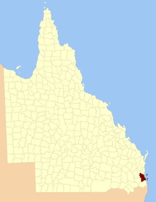
The County of Stanley is a cadastral division centred on the city of Brisbane in Queensland, Australia, that is used mainly for the purpose of registering land titles. It was named after Edward Stanley, who was three times British prime minister in the 1850s and 1860s. It is bounded by the Logan River in the south, the Brisbane River at what is now Lake Wivenhoe in the west, the Stanley River at what is now Lake Somerset in the north-west, and Caboolture River in the north. It includes Moreton Island and Stradbroke Island, and extends west to Ipswich's CBD, south to Loganlea and north to Morayfield.

The County of Ward is a county in the south-eastern corner of Queensland, Australia. The main urban area within the county is the city of the Gold Coast, and it also extends to include the southern parts of the West Moreton region centred on Beaudesert and Boonah.

The County of Canning is a county in Queensland, Australia. The county consists of almost all of the former Shires of Caboolture, Maroochy and Kilcoy and the former City of Caloundra. Its main urbanised areas are centred on the Sunshine Coast and the areas surrounding Caboolture.

Maramie County is one of the counties of Queensland, Australia, that existed before 1901. Named for a local variety of crayfish, the county is located in Far North Queensland on the lower Cape York Peninsula, about 130 kilometres (81 mi) south-east of Kowanyama.
The county is divided into civil parishes.

The County of March is a county in Queensland, Australia. The county consists of the Noosa area, plus the eastern parts of the Gympie and Fraser Coast regions.
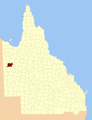
The County of Rochedale is a county in Queensland, Australia. The county is divided into civil parishes. It is centred on the city of Mount Isa, its only population centre. On 7 March 1901, the Governor issued a proclamation legally dividing Queensland into counties under the Land Act 1897. Its schedule described Rochedale thus:
Bounded on the north by the county of Brahe and parts of the west and south of Glenvale No. 2 Block to the Leichhardt River, by that river upwards to the north-west corner of Parkside No. 1, by the north, east and south boundaries of that block, part of the south and east boundaries of Parkside No. 2, part of the north, the east, and south boundaries of Parkside No. 5, and the east boundary of Parkside No. 8 Block; on the south by the counties of Chapworth, Waverley and Piturie; and on the west by the county of Nash.
The County of Pelham is a county in Queensland, Australia, located in the Shire of Banana in Central Queensland. The county is divided into civil parishes. The county was created on 1 September 1855 by royal proclamation under the Waste Lands Australia Act 1846. On 7 March 1901, the Governor issued a proclamation legally dividing Queensland into counties under the Land Act 1897. Its schedule described Pelham thus:
Bounded on the north by the county of Raglan; on the east by the counties of Clinton and Rawbelle; on the south by the county of Rawbelle and the southern watershed of Scoria and Prospect Creeks; and on the west by the eastern watershed of the Dawson River.

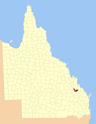
The County of Flinders is a county in Queensland, Australia, located in the Central Queensland region between Gladstone and Bundaberg. The county is divided into civil parishes. It was named for Matthew Flinders who explored the Australian coastline.
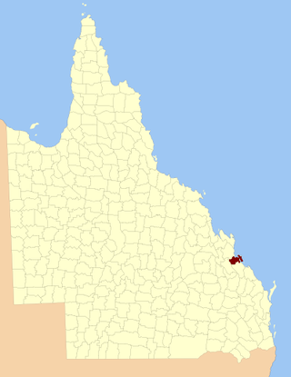
The County of Deas Thompson is a county in Queensland, Australia. It is situated between the cities of Gladstone and Rockhampton. The county is divided into civil parishes. The county was named for Edward Deas Thomson, a New South Wales politician, but the name was misspelt Thompson when applied to the county.

Kyabra County, Queensland is a cadastral division of Queensland and a County of the South Gregory District of south western Queensland.

Wellington County, Queensland is a cadastral division of Queensland and a County of remote western Queensland.
Ross County, Queensland is a cadastral division of Queensland and a County of remote western Queensland.

Windula County
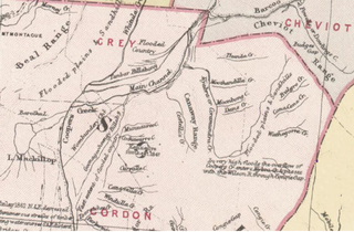
Gordon County is a cadastral division of Queensland, Australia and a County of the South Gregory District of remote western Queensland. The county is divided into civil parishes.

Bulgroo County is a cadastral division of Queensland and a County of the South Gregory District of remote western Queensland. The county is divided into civil parishes.

Cooper County is a cadastral division of Queensland and a County of the South Gregory District of remote western Queensland. The county is divided into civil parishes.
Curralle County is a cadastral division of Queensland and a County of the South Gregory District of remote western Queensland.
Burarie County is a cadastral division of Queensland and a County of the South Gregory District of remote western Queensland. The county is divided into civil parishes.

Kendall County is a County of Queensland located at 13.683°S 141.967°E on the Cape York Peninsula in remote far north of Queensland, Australia.
Wyara County, Queensland is a cadastral division of Queensland and a County of remote western Queensland.
