
Ben Cruachan is a 1126 m mountain that is the highest point in Argyll and Bute, Scotland. It gives its name to the Cruachan Dam, a pumped-storage hydroelectric power station located in a cavern inside the mountain, Cruachan! is the battle cry for Highland clans Campbell and MacIntyre.

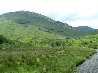
Cruach Ardrain is a Munro mountain located in the southern highlands of Scotland in the Stirling Council area, five kilometres south east of Crianlarich.
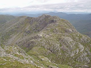
Beinn Tulaichean is a Scottish mountain. It is not much more than the southern top of Cruach Ardrain, with a descent of only 120m before the ascent to its larger neighbour. It is located approximately 10 km to the north of Loch Katrine close to the site of Robert Roy MacGregor's house.

Cruach Mhór, at 932 metres (3,058 ft) high, is the tenth-highest peak in Ireland on the Arderin list, and the eleventh-highest peak in Ireland according to the Vandeleur-Lynam list. A distinctive square grotto marks the summit. It is part of the MacGillycuddy's Reeks in County Kerry.

Beinn a' Chlachair is a mountain in the Grampian Mountains of Scotland. It lies north of Loch Laggan, near the remote hamlet of Kinloch Laggan.

Doune Hill is a peak in the foothills of the Grampian Mountains of Scotland. It is located near the village of Luss in Argyll and Bute, west of Loch Lomond.

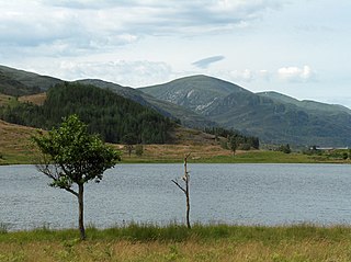
Stob Coir'an Albannaich is a mountain in the Grampian Mountains of Scotland. It lies on the border of Argyll and Bute and the Highlands area, south of Glen Etive.

Sgurr Innse is a mountain in the Grampian Mountains of Scotland, situated south of the village of Roybridge in Lochaber.

Meall Corranaich is a mountain in the Grampian Mountains of Scotland. It lies on the northern shore of Loch Tay in Perthshire, and is part of the Ben Lawers group.
Toll Creagach is a mountain in the Northwest Highlands of Scotland. It lies between Glen Affric in the south and Loch Mullardoch in Inverness-shire.

Beinn Bheoil is a mountain in the Grampian Mountains of Scotland, located on the western shore of Loch Ericht in Highland.

Sgurr an Doire Lethain is a mountain in the Northwest Highlands of Scotland. It is located south of Glen Shiel in the Kintail area.

A' Chailleach is a mountain in the Northwest Highlands of Scotland. It lies in the Fannaichs of Wester Ross.

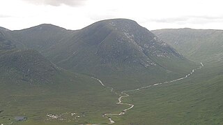
Carn Dearg is a remote mountain in the Grampian Mountains of Scotland. It lies east of Rannoch Moor, on the border of Highland and Perthshire.

Creag nan Damh is a mountain in the Northwest Highlands of Scotland, southeast of the village of Shiel Bridge in the Kintail area.

Beinn a' Bhuidhe is a mountain in the Grampian Mountains of Scotland, west of the village of Dalmally in Argyll and Bute.

Beinn Ghiobhlach is a mountain in the Northwest Highlands of Scotland. It lies on the Scoraig peninsula between the two Loch Brooms in Wester Ross.

Creag Tharsuinn is a mountain in the Arrochar Alps of Scotland. It lies in the Cowal peninsula, Argyll and Bute.
Garbh Chioch Mhor is a mountain in the Northwest Highlands of Scotland. It lies in the Lochaber region, between Loch Nevis and Loch Quoich.
Meall nan Eun is a mountain in the Grampian Mountains of Scotland. It is located east of Glen Etive in Argyll and Bute.
