Dattagalli

Last updated

Dattagalli
Dattagalli. A.jpg
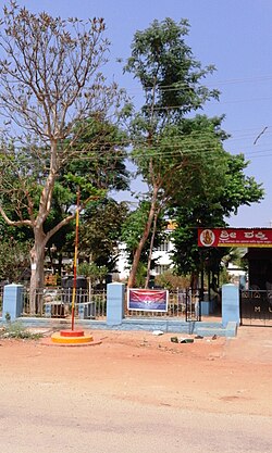
Temple at Dattagalli bus terminus, Mysore
Dattagalli
Interactive map of Dattagalli
Coordinates: 12°17′06″N76°36′07″E / 12.28512°N 76.60187°E / 12.28512; 76.60187
Country India
State Karnataka

Dattagalli is a residential area on the southeast of the city of Mysore, the second largest city in the state of Karnataka, India. [1] [2]

Contents

Location

Dattagalli is situated around the outer ring road and it is near to Ramakrishnanagar circle, Kuvempu Nagar and Andolana Circle. [3] Dattagalli is part of the Mysore Urban Development Authority planning area. Mysore Airport is 10 km away from Dattagalli. Some famous landmarks here are SaRa Convention Hall, More Supermarket and Nalapak Restaurant. There is a small lake in Dattagalli 3rd Stage. [4]

Education

There are three prominent schools in this area, the Kautilya Vidyalaya ( 12°16′28″N76°36′39″E / 12.274306°N 76.610927°E / 12.274306; 76.610927 ), Christ Public School and the Supreme Public School ( 12°16′42″N76°36′34″E / 12.278325°N 76.609447°E / 12.278325; 76.609447 ). One Ayurvedic Hospital ( 12°17′51″N6°39′15″E / 12.297596°N 6.6542°E / 12.297596; 6.6542 ) is also situated in Dattagalli.

See also

References

  1. "Govt cancels MUDA's resolution to allot 48 sites in Dattagalli in Mysuru". The Hindu. 3 December 2024. ISSN   0971-751X . Retrieved 16 March 2026.
  2. "Power disruption today". The Times of India. 30 December 2023. ISSN   0971-8257 . Retrieved 16 March 2026.
  3. "Govt. cancels allotment of 48 MUDA sites in Dattagalli". Star of Mysore. 3 December 2024. Retrieved 16 March 2026.
  4. "Neglected and dying lake at Dattagalli 3rd Stage". Star of Mysore. 25 February 2025. Retrieved 16 March 2026.

12°18′25″N76°37′18″E / 12.306897°N 76.621685°E / 12.306897; 76.621685