Dehergati দেহেরগতি | |
|---|---|
Village | |
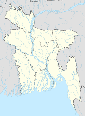 Dehergati Location in Bangladesh | |
| Coordinates: 22°47′N90°17′E / 22.783°N 90.283°E | |
| Country | |
| Division | Barisal Division |
| District | Barisal District |
| Upazila | Babuganj Upazila |
| Population (2022) | |
• Total | 4,572 |
| Time zone | UTC+6 (Bangladesh Time) |
Dehergati is a village in Babuganj Upazila of Barisal District in the Barisal Division of southern-central Bangladesh. [1] [2]
According to the 2022 Census of Bangladesh, Dehergati had 1,112 households and a population of 4,572. [3]