This article needs additional citations for verification .(September 2009) |
 | |
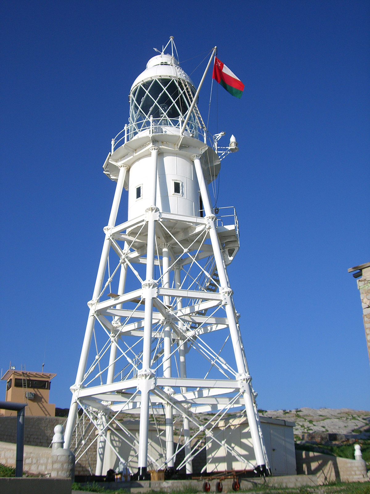
| Location | Great Quoin Island, Oman |
|---|---|
| Coordinates | 26°28′38″N56°32′18″E / 26.47728°N 56.53844°E |
| Tower | |
| Foundation | concrete base |
| Construction | metal skeletal tower |
| Height | 24 m (79 ft) |
| Shape | square pyramidal skeletal tower [1] [2] |
| Markings | white |
| Power source | solar power |
| Light | |
| Focal height | 60 m (200 ft) |
| Range | 23 nmi (43 km; 26 mi) |
| Characteristic | |
Didamar Lighthouse (also known as Quoin Island Lighthouse) is the northernmost lighthouse in Oman, located on Little Quoin Island in the As Salamah Archipelago north of Musandam Peninsula in the Strait of Hormuz.