
Kaptol is a village and a municipality in central Slavonia, Croatia. It is located on the slopes of Papuk mountain, east of Velika and northeast of Požega. The population of the municipality is 3,472, with 1,409 people in Kaptol itself, 97% are Croats.
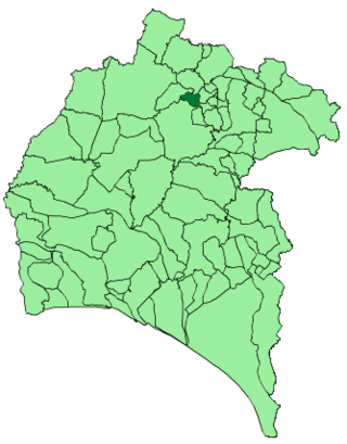
Jabugo is a town and municipality located in the province of Huelva, Spain. According to the 2005 census, it has a population of 2,475 inhabitants. The region is known for its signature ham, Jamón ibérico.
Unešić is a municipality in Šibenik-Knin County, Croatia. There are 1,686 inhabitants, with 99.70% declaring themselves Croats.

Biovičino Selo is a village located in the municipality of Kistanje, in the Šibenik-Knin County, Croatia.

Milles de la Polvorosa is a municipality located in the province of Zamora, Castile and León, Spain. According to the 2004 census (INE), the municipality has a population of 265 inhabitants.
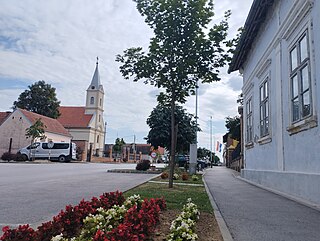
Andrijaševci is a village and a municipality in Vukovar-Syrmia County in eastern Croatia. Despite its name, the seat of the municipality is in the village of Rokovci.
Al-Ghurfah is a small town in east-central Yemen, located just east of Shibam. It is located in the Hadhramaut Governorate. According to the 2004 census it had a population of 5,006 people. The 2009 estimate for the town is 5,700.
Lupinjak is a village in Croatia. It is connected by the D1 highway.
Rakov Potok is a village in Croatia. It is connected by the D1 highway.
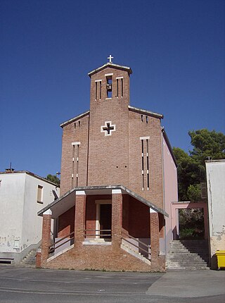
Uble, also referred to as Ubli, is a small coastal village in southern Croatia. It is located on the island of Lastovo in Dubrovnik-Neretva County.
Krstinja is a village in Croatia. It is connected by the D216 highway.
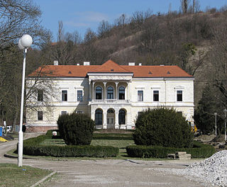
Gornji Laduč is a village in Croatia. It is connected by the D225 highway.

Prigorje Brdovečko is a village in Croatia. It is connected by the D225 highway.
Velika Horvatska is a village in Croatia.
Gračac Slavetićki is a settlement in the Jastrebarsko administrative area of Zagreb County, Croatia. As of 2011 it had a population of 5.
Plešivica is a settlement in the Jastrebarsko administrative area of Zagreb County, Croatia. As of 2011 it had a population of 292 people.
Bobovica, Croatia is a settlement (naselje) in the Samobor administrative territory of Zagreb County, Croatia. As of 2011 it had a population of 285 people.
Galgovo is a settlement (naselje) in the Samobor administrative territory of Zagreb County, Croatia. As of 2011 it had a population of 686 people.
Kladje is a settlement (naselje) in the Samobor administrative territory of Zagreb County, Croatia. As of 2011 it had a population of 829 people.
Konšćica is a settlement (naselje) in the Samobor administrative territory of Zagreb County, Croatia. As of 2011 it had a population of 289 people.
 Croatia
  Lika-Senj